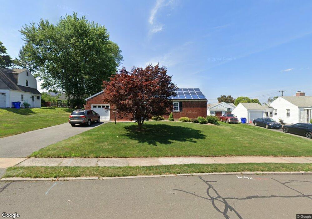
12 Saxon Rd Wethersfield, CT 06109
Estimated Value: $354,000 - $408,000
3
Beds
2
Baths
1,575
Sq Ft
$238/Sq Ft
Est. Value
About This Home
This home is located at 12 Saxon Rd, Wethersfield, CT 06109 and is currently estimated at $374,163, approximately $237 per square foot. 12 Saxon Rd is a home located in Hartford County with nearby schools including Charles Wright School, Silas Deane Middle School, and Wethersfield High School.
Ownership History
Date
Name
Owned For
Owner Type
Purchase Details
Closed on
Sep 24, 2018
Sold by
Barbara M Mikan Ret
Bought by
Mikan Barbara M and Shapiro Barbara M
Current Estimated Value
Purchase Details
Closed on
Aug 5, 1999
Sold by
Kozik Constance G
Bought by
Shapiro Barbara M
Create a Home Valuation Report for This Property
The Home Valuation Report is an in-depth analysis detailing your home's value as well as a comparison with similar homes in the area
Home Values in the Area
Average Home Value in this Area
Purchase History
| Date | Buyer | Sale Price | Title Company |
|---|---|---|---|
| Mikan Barbara M | -- | -- | |
| Shapiro Barbara M | $119,900 | -- |
Source: Public Records
Mortgage History
| Date | Status | Borrower | Loan Amount |
|---|---|---|---|
| Previous Owner | Shapiro Barbara M | $10,000 | |
| Previous Owner | Shapiro Barbara M | $32,000 | |
| Previous Owner | Shapiro Barbara M | $6,000 | |
| Previous Owner | Shapiro Barbara M | $150,000 |
Source: Public Records
Tax History
| Year | Tax Paid | Tax Assessment Tax Assessment Total Assessment is a certain percentage of the fair market value that is determined by local assessors to be the total taxable value of land and additions on the property. | Land | Improvement |
|---|---|---|---|---|
| 2025 | $9,546 | $231,580 | $64,390 | $167,190 |
| 2024 | $6,102 | $141,180 | $52,810 | $88,370 |
| 2023 | $5,899 | $141,180 | $52,810 | $88,370 |
| 2022 | $5,800 | $141,180 | $52,810 | $88,370 |
| 2021 | $5,742 | $141,180 | $52,810 | $88,370 |
| 2020 | $5,745 | $141,180 | $52,810 | $88,370 |
| 2019 | $5,752 | $141,180 | $52,810 | $88,370 |
| 2018 | $5,640 | $138,300 | $53,300 | $85,000 |
| 2017 | $5,500 | $138,300 | $53,300 | $85,000 |
| 2016 | $5,330 | $138,300 | $53,300 | $85,000 |
| 2015 | $5,282 | $138,300 | $53,300 | $85,000 |
| 2014 | $5,081 | $138,300 | $53,300 | $85,000 |
Source: Public Records
Map
Nearby Homes
- 20 Saxon Rd
- 4 Saxon Rd
- 41 Wolcott Hill Rd
- 15 Judd Rd
- 19 Judd Rd
- 26 Saxon Rd
- 5 Judd Rd
- 36 Saxon Rd
- 31 Judd Rd
- 53 Wolcott Hill Rd Unit 68
- 53 Wolcott Hill Rd Unit 67
- 53 Wolcott Hill Rd Unit C23
- 53 Wolcott Hill Rd Unit C21
- 53 Wolcott Hill Rd Unit C20
- 53 Wolcott Hill Rd Unit C19
- 53 Wolcott Hill Rd Unit C18
- 53 Wolcott Hill Rd Unit C17
- 53 Wolcott Hill Rd Unit C16
- 53 Wolcott Hill Rd Unit C15
- 53 Wolcott Hill Rd Unit C14
Your Personal Tour Guide
Ask me questions while you tour the home.