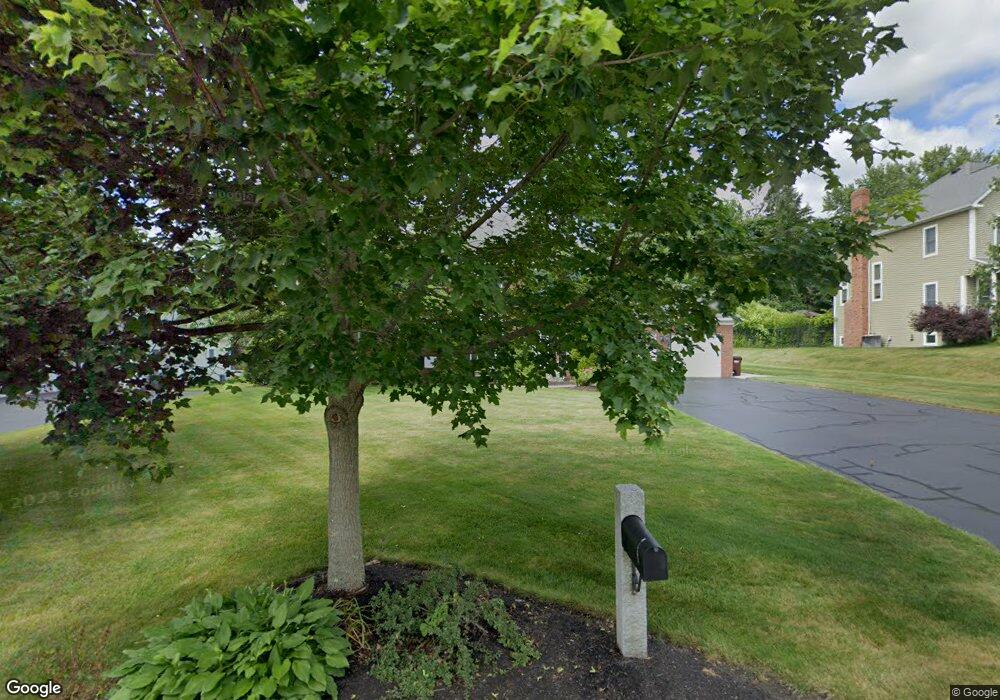
12 Saybrook Way Auburn, MA 01501
Pakachoag NeighborhoodEstimated Value: $846,920 - $976,000
4
Beds
3
Baths
2,568
Sq Ft
$355/Sq Ft
Est. Value
About This Home
This home is located at 12 Saybrook Way, Auburn, MA 01501 and is currently estimated at $912,730, approximately $355 per square foot. 12 Saybrook Way is a home located in Worcester County with nearby schools including Auburn Senior High School and Shrewsbury Montessori School - Auburn Campus.
Ownership History
Date
Name
Owned For
Owner Type
Purchase Details
Closed on
May 5, 2003
Sold by
Emerson Dev Llp and Stelmok John E
Bought by
Emerson Homes Inc
Current Estimated Value
Purchase Details
Closed on
Jun 21, 2001
Sold by
Emerson Homes Inc
Bought by
Otoole Steven M and Otoole Maryjane J
Create a Home Valuation Report for This Property
The Home Valuation Report is an in-depth analysis detailing your home's value as well as a comparison with similar homes in the area
Home Values in the Area
Average Home Value in this Area
Purchase History
| Date | Buyer | Sale Price | Title Company |
|---|---|---|---|
| Emerson Homes Inc | $120,000 | -- | |
| Otoole Steven M | $399,165 | -- |
Source: Public Records
Mortgage History
| Date | Status | Borrower | Loan Amount |
|---|---|---|---|
| Open | Otoole Steven M | $350,000 | |
| Closed | Otoole Steven M | $360,000 | |
| Closed | Otoole Steven M | $367,000 |
Source: Public Records
Tax History Compared to Growth
Tax History
| Year | Tax Paid | Tax Assessment Tax Assessment Total Assessment is a certain percentage of the fair market value that is determined by local assessors to be the total taxable value of land and additions on the property. | Land | Improvement |
|---|---|---|---|---|
| 2025 | $118 | $824,300 | $176,100 | $648,200 |
| 2024 | $11,554 | $773,900 | $169,500 | $604,400 |
| 2023 | $10,884 | $685,400 | $143,900 | $541,500 |
| 2022 | $10,006 | $594,900 | $143,900 | $451,000 |
| 2021 | $9,984 | $550,400 | $127,100 | $423,300 |
| 2020 | $9,896 | $550,400 | $127,100 | $423,300 |
| 2019 | $9,925 | $538,800 | $125,900 | $412,900 |
| 2018 | $5,692 | $530,400 | $117,800 | $412,600 |
| 2017 | $9,484 | $517,100 | $106,800 | $410,300 |
| 2016 | $9,157 | $506,200 | $110,200 | $396,000 |
| 2015 | $8,761 | $507,600 | $110,200 | $397,400 |
| 2014 | $8,581 | $496,300 | $104,800 | $391,500 |
Source: Public Records
Map
Nearby Homes
- 204-212 Hampton St
- 61 Elmwood St
- 22 Lesley Ave
- 2 Breezy Bend
- 37 Elmwood St
- 3 Lower Windbrook Dr
- 6 Newton St
- 47 Washington St Unit 26
- 326 Pakachoag St
- 72 Sophia Dr
- 2 Mystic St
- 30 Davenport St
- 29 Steele St
- 55 Tennyson St
- 557 SW Cutoff Unit 107
- 557 SW Cutoff Unit 17
- 557 SW Cutoff Unit 79
- 557 SW Cutoff Unit 35
- 10 Steele St
- 52 Harrison Ave
