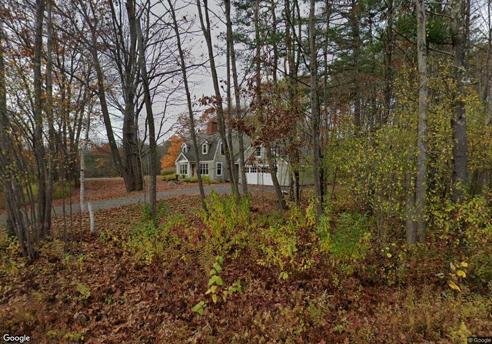
12 Seaborne Dr Yarmouth, ME 04096
Estimated Value: $1,101,000 - $1,259,000
4
Beds
3
Baths
2,748
Sq Ft
$428/Sq Ft
Est. Value
About This Home
This home is located at 12 Seaborne Dr, Yarmouth, ME 04096 and is currently estimated at $1,175,662, approximately $427 per square foot. 12 Seaborne Dr is a home located in Cumberland County with nearby schools including William H. Rowe School, Yarmouth Elementary School, and Frank H. Harrison Middle School.
Ownership History
Date
Name
Owned For
Owner Type
Purchase Details
Closed on
Oct 3, 2024
Sold by
Nastro Jacqueline I
Bought by
Nastro Thomas R and Nastro Jacqueline I
Current Estimated Value
Purchase Details
Closed on
Jul 18, 2007
Sold by
Nastro Thomas R and Nastro Jacqueline I
Bought by
Nastro Jacqueline I
Create a Home Valuation Report for This Property
The Home Valuation Report is an in-depth analysis detailing your home's value as well as a comparison with similar homes in the area
Home Values in the Area
Average Home Value in this Area
Purchase History
| Date | Buyer | Sale Price | Title Company |
|---|---|---|---|
| Nastro Thomas R | -- | None Available | |
| Nastro Thomas R | -- | None Available | |
| Nastro Jacqueline I | -- | -- | |
| Nastro Jacqueline I | -- | -- |
Source: Public Records
Mortgage History
| Date | Status | Borrower | Loan Amount |
|---|---|---|---|
| Previous Owner | Nastro Jacqueline I | $300,000 |
Source: Public Records
Tax History Compared to Growth
Tax History
| Year | Tax Paid | Tax Assessment Tax Assessment Total Assessment is a certain percentage of the fair market value that is determined by local assessors to be the total taxable value of land and additions on the property. | Land | Improvement |
|---|---|---|---|---|
| 2024 | $13,603 | $529,900 | $281,700 | $248,200 |
| 2023 | $12,474 | $529,900 | $281,700 | $248,200 |
| 2022 | $11,456 | $529,900 | $281,700 | $248,200 |
| 2021 | $10,047 | $529,900 | $281,700 | $248,200 |
| 2020 | $9,911 | $529,900 | $281,700 | $248,200 |
| 2019 | $9,994 | $529,900 | $281,700 | $248,200 |
| 2018 | $9,432 | $529,900 | $281,700 | $248,200 |
| 2017 | $2,336 | $529,900 | $281,700 | $248,200 |
| 2016 | $9,040 | $529,900 | $281,700 | $248,200 |
| 2015 | $10,442 | $484,300 | $266,800 | $217,500 |
| 2014 | $10,461 | $484,300 | $266,800 | $217,500 |
| 2013 | $10,655 | $484,300 | $0 | $0 |
Source: Public Records
Map
Nearby Homes
- 132 Drinkwater Point Rd
- 24 Daybreak Ln
- 199 Princes Point Rd
- 161 Gilman Rd
- 51 Meeting House Farms Rd
- 6 Ebb Tide Dr
- 51 Oakland Ave
- 30 Blueberry Cove
- 86 Pleasant St
- 52 Blueberry Cove Rd Unit 52
- 21 Ledge Rd
- 48 Blueberry Cove
- 12 Blueberry Cove Rd Unit 12
- 276 Foreside Rd
- 51 Pleasant St
- 87 Wharf Rd
- 62 Sisquisic Trail
- 69 Rand Rd
- 254 Foreside Rd
- 36 Main St
- 30 Seaborne Dr
- 176 Drinkwater Point Rd
- 197 Drinkwater Point Rd
- 21 Seaborne Dr
- 13 Seaborne Dr
- 40 Seaborne Dr
- 41 Seaborne Dr
- 17 Seaborne Dr
- 216 Drinkwater Point Rd
- 44 Seaborne Dr
- 69 Seaborne Dr
- 3 Webster Ln
- 50 Seaborne Dr
- 103 Seaborne Dr
- 119 Seaborne Dr
- 215 Drinkwater Point Rd
- 137 Drinkwater Point Rd
- 25 Webster Ln
- 82 Seaborne Dr
- 7 Kingfisher Cove