12 Shady Ln Ottawa, IL 61350
Estimated Value: $304,000 - $327,000
3
Beds
3
Baths
1,629
Sq Ft
$193/Sq Ft
Est. Value
About This Home
This home is located at 12 Shady Ln, Ottawa, IL 61350 and is currently estimated at $313,931, approximately $192 per square foot. 12 Shady Ln is a home located in LaSalle County with nearby schools including Wallace Elementary School, Ottawa Township High School, and Marquette Academy.
Ownership History
Date
Name
Owned For
Owner Type
Purchase Details
Closed on
Aug 28, 2015
Sold by
Evola Vince M and Evola Sarah F
Bought by
Conroy Todd M
Current Estimated Value
Home Financials for this Owner
Home Financials are based on the most recent Mortgage that was taken out on this home.
Original Mortgage
$152,000
Outstanding Balance
$119,752
Interest Rate
4%
Mortgage Type
New Conventional
Estimated Equity
$194,179
Create a Home Valuation Report for This Property
The Home Valuation Report is an in-depth analysis detailing your home's value as well as a comparison with similar homes in the area
Home Values in the Area
Average Home Value in this Area
Purchase History
| Date | Buyer | Sale Price | Title Company |
|---|---|---|---|
| Conroy Todd M | $190,000 | -- |
Source: Public Records
Mortgage History
| Date | Status | Borrower | Loan Amount |
|---|---|---|---|
| Open | Conroy Todd M | $152,000 |
Source: Public Records
Tax History Compared to Growth
Tax History
| Year | Tax Paid | Tax Assessment Tax Assessment Total Assessment is a certain percentage of the fair market value that is determined by local assessors to be the total taxable value of land and additions on the property. | Land | Improvement |
|---|---|---|---|---|
| 2024 | $6,528 | $93,023 | $12,513 | $80,510 |
| 2023 | $6,384 | $83,257 | $11,199 | $72,058 |
| 2022 | $5,912 | $75,564 | $14,039 | $61,525 |
| 2021 | $5,616 | $70,826 | $13,159 | $57,667 |
| 2020 | $5,325 | $67,280 | $12,500 | $54,780 |
| 2019 | $5,344 | $66,595 | $12,373 | $54,222 |
| 2018 | $5,243 | $64,996 | $12,076 | $52,920 |
| 2017 | $5,069 | $63,005 | $11,706 | $51,299 |
| 2016 | $4,825 | $60,303 | $11,204 | $49,099 |
| 2015 | $4,594 | $57,525 | $10,688 | $46,837 |
| 2012 | -- | $62,887 | $11,685 | $51,202 |
Source: Public Records
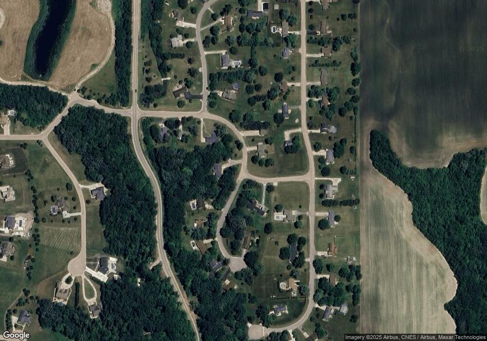
Map
Nearby Homes
- 1487 N 2975th Rd
- 2961 E 1489th Rd
- 2951 E 1489th Rd
- 2954 E 1479th Rd
- 2950 E 1479 Rd
- 3016 E 1489th Rd
- 1495 N 3025 Rd
- 100 Great Loop East Dr
- SWC E Stevenson & Burmac Rd
- NWC E Stevenson & Mbl Dr
- 0 N 29th Rd Unit MRD12223041
- 2957 E 1489th Rd
- 2971 E 1489th Rd
- Lot 25 Andrew Ct at Seminole Dr
- 934 Evans St
- 1314 W Washington St
- 1331 W Washington St
- 1617 Pine St
- 1126 Sanger St
- 1901 Chestnut St
- 103 Shady Ln
- 107 Shady Ln
- 111 Countryside Ave
- 119 Countryside Ave
- 121 Countryside Ave
- 1508 N 2980th Rd
- 3 Shady Ln
- 114 Countryside Ave
- 1516 N 2974th Rd
- 120 Countryside Ave
- 11 Shady Ln
- 26 Greenbriar Dr
- 2983 E 1520th Rd
- 2978 E 1520th Rd
- 4 Greenbriar Dr
- 128 Countryside Ave
- 118 Countryside Ave
- 3 Countryside Ave
- 6 Greenbriar Dr
- 2980 E 1520th Rd