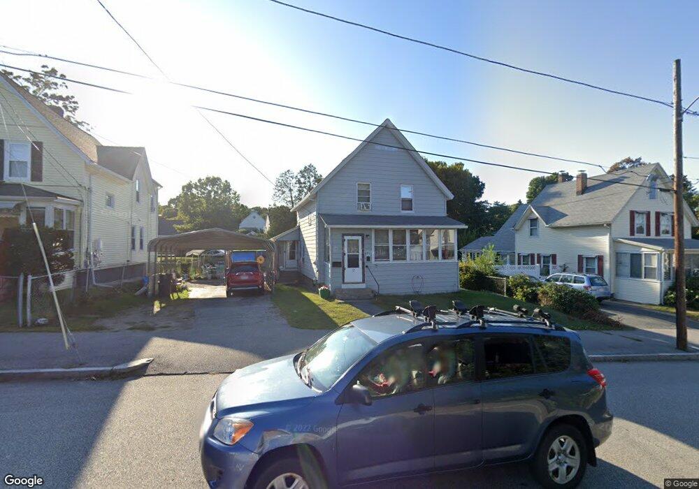
12 Sherbrook Ave Worcester, MA 01604
Lake Park NeighborhoodEstimated Value: $366,000 - $427,000
3
Beds
2
Baths
1,168
Sq Ft
$343/Sq Ft
Est. Value
About This Home
This home is located at 12 Sherbrook Ave, Worcester, MA 01604 and is currently estimated at $400,673, approximately $343 per square foot. 12 Sherbrook Ave is a home located in Worcester County with nearby schools including Jacob Hiatt Magnet School, Chandler Magnet, and Lake View Elementary School.
Ownership History
Date
Name
Owned For
Owner Type
Purchase Details
Closed on
Feb 26, 1992
Sold by
Usa Va
Bought by
Wigren David P and Wigren Karen
Current Estimated Value
Home Financials for this Owner
Home Financials are based on the most recent Mortgage that was taken out on this home.
Original Mortgage
$78,000
Interest Rate
8.38%
Mortgage Type
Purchase Money Mortgage
Purchase Details
Closed on
Sep 10, 1991
Sold by
Macduffie Francis M
Bought by
Fleet Mortgage Corp
Create a Home Valuation Report for This Property
The Home Valuation Report is an in-depth analysis detailing your home's value as well as a comparison with similar homes in the area
Home Values in the Area
Average Home Value in this Area
Purchase History
| Date | Buyer | Sale Price | Title Company |
|---|---|---|---|
| Wigren David P | $79,000 | -- | |
| Fleet Mortgage Corp | $75,170 | -- |
Source: Public Records
Mortgage History
| Date | Status | Borrower | Loan Amount |
|---|---|---|---|
| Closed | Fleet Mortgage Corp | $78,000 |
Source: Public Records
Tax History Compared to Growth
Tax History
| Year | Tax Paid | Tax Assessment Tax Assessment Total Assessment is a certain percentage of the fair market value that is determined by local assessors to be the total taxable value of land and additions on the property. | Land | Improvement |
|---|---|---|---|---|
| 2025 | $4,274 | $324,000 | $118,700 | $205,300 |
| 2024 | $4,128 | $300,200 | $118,700 | $181,500 |
| 2023 | $3,944 | $275,000 | $103,200 | $171,800 |
| 2022 | $3,606 | $237,100 | $82,600 | $154,500 |
| 2021 | $3,396 | $208,600 | $66,100 | $142,500 |
| 2020 | $3,262 | $191,900 | $66,100 | $125,800 |
| 2019 | $3,132 | $174,000 | $59,500 | $114,500 |
| 2018 | $3,145 | $166,300 | $59,500 | $106,800 |
| 2017 | $3,029 | $157,600 | $59,500 | $98,100 |
| 2016 | $2,797 | $135,700 | $43,700 | $92,000 |
| 2015 | $2,723 | $135,700 | $43,700 | $92,000 |
| 2014 | $2,652 | $135,700 | $43,700 | $92,000 |
Source: Public Records
Map
Nearby Homes
- 24 Sherbrook Ave
- 65 Lake Ave Unit 831
- 65 Lake Ave Unit 1008
- 47 Alvarado Ave Unit 1A
- 241 Lake Ave
- 105 S Quinsigamond Ave
- 13 Frank St
- 270 Coburn Ave
- 22 Shrewsbury Green Dr Unit C
- 2 Touraine St
- 42 Shrewsbury Green Dr Unit I
- 42 Shrewsbury Green Dr Unit F
- 65 Edgewater Ave
- 308 Plantation St
- 311 Plantation St
- 190 S Quinsigamond Ave Unit 102
- 496 Hamilton St
- 4 Harold St
- 42 Ancona Rd
- 190 Dominion Rd
- 10 Sherbrook Ave
- 14 Sherbrook Ave
- 16 Sherbrook Ave
- 17 Agate Ave
- 8 Sherbrook Ave
- 19 Agate Ave
- 9 Agate Ave
- 8 1/2 Sherbrook Ave
- 8.5 Sherbrook Ave
- 8 1/2 Sherbrook Ave
- 21 Agate Ave
- 6 Sherbrook Ave
- 18 Sherbrook Ave
- 9 Sherbrook Ave
- 7 Agate Ave
- 7 Sherbrook Ave
- 13 Sherbrook Ave
- 23 Agate Ave
- 20 Sherbrook Ave
- 4 Sherbrook Ave