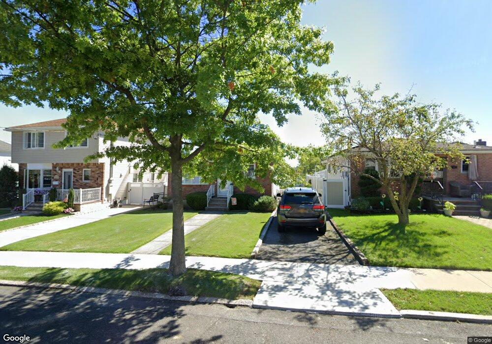
12 Sheridan Ct Staten Island, NY 10306
Bay Terrace NeighborhoodEstimated Value: $676,131 - $738,000
--
Bed
4
Baths
1,064
Sq Ft
$671/Sq Ft
Est. Value
About This Home
This home is located at 12 Sheridan Ct, Staten Island, NY 10306 and is currently estimated at $714,033, approximately $671 per square foot. 12 Sheridan Ct is a home located in Richmond County with nearby schools including P.S. 50 Frank Hankinson School, Myra S. Barnes Intermediate School 24, and New Dorp High School.
Ownership History
Date
Name
Owned For
Owner Type
Purchase Details
Closed on
Oct 19, 2021
Sold by
Gough Maureen and Gough Keith
Bought by
Gough Keith E and Gough Steven K
Current Estimated Value
Purchase Details
Closed on
Apr 19, 2017
Sold by
Colliton Gerard and Gough Maureen
Bought by
Gouch Maureen and Gough Keith
Purchase Details
Closed on
Jun 26, 2009
Sold by
Colliton Joan M
Bought by
Colliton Gerard and Gough Maureen
Create a Home Valuation Report for This Property
The Home Valuation Report is an in-depth analysis detailing your home's value as well as a comparison with similar homes in the area
Home Values in the Area
Average Home Value in this Area
Purchase History
| Date | Buyer | Sale Price | Title Company |
|---|---|---|---|
| Gough Keith E | -- | Security Ttl Guarantee Corp | |
| Gouch Maureen | $330,000 | Security Title | |
| Colliton Gerard | -- | None Available |
Source: Public Records
Tax History Compared to Growth
Tax History
| Year | Tax Paid | Tax Assessment Tax Assessment Total Assessment is a certain percentage of the fair market value that is determined by local assessors to be the total taxable value of land and additions on the property. | Land | Improvement |
|---|---|---|---|---|
| 2025 | $6,973 | $43,500 | $10,939 | $32,561 |
| 2024 | $6,973 | $44,760 | $10,098 | $34,662 |
| 2023 | $6,665 | $32,818 | $10,016 | $22,802 |
| 2022 | $6,181 | $42,060 | $13,020 | $29,040 |
| 2021 | $6,516 | $37,500 | $13,020 | $24,480 |
| 2020 | $6,447 | $33,840 | $13,020 | $20,820 |
| 2019 | $6,052 | $30,240 | $13,020 | $17,220 |
| 2018 | $5,575 | $27,348 | $11,591 | $15,757 |
| 2017 | $4,697 | $25,800 | $13,020 | $12,780 |
| 2016 | $4,012 | $25,920 | $13,020 | $12,900 |
| 2015 | $3,541 | $25,380 | $10,860 | $14,520 |
| 2014 | $3,541 | $24,108 | $10,721 | $13,387 |
Source: Public Records
Map
Nearby Homes
- 2075 N Railroad Ave
- 55 O'Gorman Ave
- 92 Twombly Ave
- 238 Montreal Ave
- 26 Benton Ct
- 12 Benton Ct
- 148 Hopkins Ave
- 133 Durant Ave
- 100 Savoy St Unit 1, 39, 43, 45, 46
- 14 Savoy St Unit 14
- 16 Savoy St Unit 16
- 3438 Amboy Rd Unit 3438
- 1915 N Railroad Ave
- 18 Atmore Place
- 38 Corona Ave
- 41 Croft Ct
- 220 O'Gorman Ave
- 15 Corona Ave
- 3461 Amboy Rd Unit 1J
- 8 Croft Ct