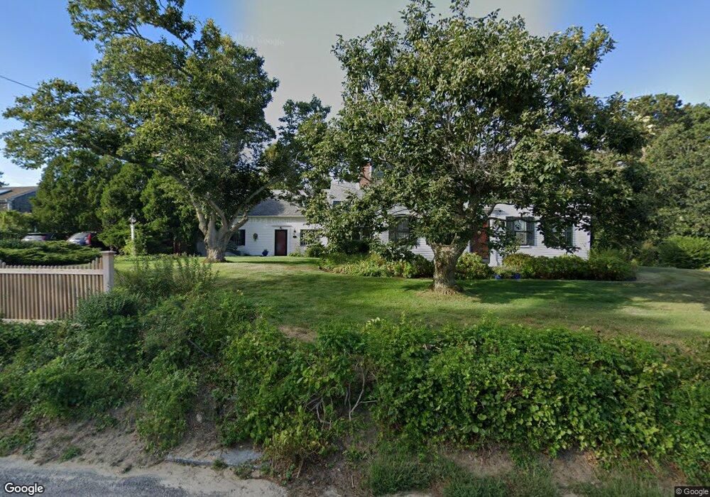
12 Smith St West Harwich, MA 02671
Northwest Harwich NeighborhoodEstimated Value: $888,000 - $1,152,000
3
Beds
3
Baths
3,156
Sq Ft
$320/Sq Ft
Est. Value
About This Home
This home is located at 12 Smith St, West Harwich, MA 02671 and is currently estimated at $1,009,820, approximately $319 per square foot. 12 Smith St is a home located in Barnstable County with nearby schools including Harwich Elementary School, Chatham Elementary School, and Monomoy Regional Middle School.
Ownership History
Date
Name
Owned For
Owner Type
Purchase Details
Closed on
Jan 10, 2012
Sold by
Russell Robert T and Russell Anne M
Bought by
Russell Rt
Current Estimated Value
Purchase Details
Closed on
Aug 26, 1968
Bought by
Russell Robert Terence and Russell Anne Marie
Create a Home Valuation Report for This Property
The Home Valuation Report is an in-depth analysis detailing your home's value as well as a comparison with similar homes in the area
Home Values in the Area
Average Home Value in this Area
Purchase History
| Date | Buyer | Sale Price | Title Company |
|---|---|---|---|
| Russell Rt | -- | -- | |
| Russell Robert Terence | -- | -- |
Source: Public Records
Mortgage History
| Date | Status | Borrower | Loan Amount |
|---|---|---|---|
| Previous Owner | Russell Robert Terence | $50,000 | |
| Previous Owner | Russell Robert Terence | $45,000 |
Source: Public Records
Tax History
| Year | Tax Paid | Tax Assessment Tax Assessment Total Assessment is a certain percentage of the fair market value that is determined by local assessors to be the total taxable value of land and additions on the property. | Land | Improvement |
|---|---|---|---|---|
| 2025 | $5,205 | $880,700 | $191,900 | $688,800 |
| 2024 | $5,205 | $863,200 | $181,000 | $682,200 |
| 2023 | $4,969 | $748,300 | $164,600 | $583,700 |
| 2022 | $4,821 | $594,500 | $143,100 | $451,400 |
| 2021 | $4,984 | $579,500 | $130,100 | $449,400 |
| 2020 | $4,936 | $565,400 | $128,700 | $436,700 |
| 2019 | $4,780 | $551,300 | $123,700 | $427,600 |
| 2018 | $4,691 | $517,500 | $112,400 | $405,100 |
| 2017 | $4,446 | $495,600 | $97,300 | $398,300 |
| 2016 | $4,300 | $474,100 | $97,300 | $376,800 |
| 2015 | $4,320 | $481,600 | $95,400 | $386,200 |
| 2014 | $4,146 | $472,700 | $97,400 | $375,300 |
Source: Public Records
Map
Nearby Homes
- 41 Depot Rd W
- 9 Bells Neck Rd Unit 10
- 126 Massachusetts 28
- 6 Raintree Rd
- 334 Depot St
- 11 Lane Rd
- 148 Belmont Rd
- 121A Depot St
- 2 Elinor Ln
- 9 Country Ln
- 174 Upper County Rd Unit 2-2
- 12 Candlewood Ln Unit 2-3
- 12 Candlewood Ln Unit 1-6
- 10 Candlewood Ln Unit 2
- 10 Candlewood Ln Unit 2-10
- 157 Depot St Unit 5
- 202 Route 28
- 18 Cross St
- 34 Pleasant St Unit 3
- 12 Indian Trail
- 40 Bells Neck Rd
- 40 Bells Neck Rd
- 6 Smith St
- 33 Bells Neck Rd
- 9 Smith St
- 5 Smith St
- 42 Bells Neck Rd
- 42 Bells Neck Rd
- 55 Depot Rd W
- 47 Depot Rd W
- 11 Arbutus Ave
- 22 Smith St
- 5 Arbutus Ave
- 24 Bells Neck Rd
- 16 Bells Neck Rd
- 25 Bells Neck Rd
- 41 Bells Neck Rd
- 25 Bells Neck Rd
- 15 Arbutus Ave
- 46 Bells Neck Rd
Your Personal Tour Guide
Ask me questions while you tour the home.