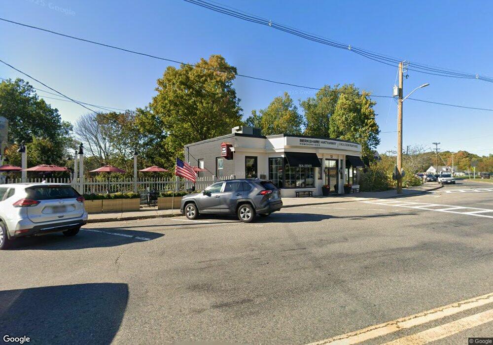
12 South St Wrentham, MA 02093
Estimated Value: $722,803
--
Bed
--
Bath
1,879
Sq Ft
$385/Sq Ft
Est. Value
About This Home
This home is located at 12 South St, Wrentham, MA 02093 and is currently estimated at $722,803, approximately $384 per square foot. 12 South St is a home located in Norfolk County with nearby schools including Delaney Elementary School and Charles E Roderick.
Ownership History
Date
Name
Owned For
Owner Type
Purchase Details
Closed on
Jul 28, 2021
Sold by
M & K Rt
Bought by
Flintstone Realty Llc
Current Estimated Value
Home Financials for this Owner
Home Financials are based on the most recent Mortgage that was taken out on this home.
Original Mortgage
$255,000
Outstanding Balance
$230,979
Interest Rate
2.93%
Mortgage Type
Commercial
Estimated Equity
$491,824
Purchase Details
Closed on
Nov 15, 1996
Sold by
First Natl Bk Boston
Bought by
Koutsis Tr Kostas A
Home Financials for this Owner
Home Financials are based on the most recent Mortgage that was taken out on this home.
Original Mortgage
$128,000
Interest Rate
7.99%
Mortgage Type
Commercial
Create a Home Valuation Report for This Property
The Home Valuation Report is an in-depth analysis detailing your home's value as well as a comparison with similar homes in the area
Home Values in the Area
Average Home Value in this Area
Purchase History
| Date | Buyer | Sale Price | Title Company |
|---|---|---|---|
| Flintstone Realty Llc | $510,000 | None Available | |
| Koutsis Tr Kostas A | $160,000 | -- |
Source: Public Records
Mortgage History
| Date | Status | Borrower | Loan Amount |
|---|---|---|---|
| Open | Flintstone Realty Llc | $255,000 | |
| Closed | Flintstone Realty Llc | $255,000 | |
| Previous Owner | Koutsis Tr Kostas A | $128,000 |
Source: Public Records
Tax History Compared to Growth
Tax History
| Year | Tax Paid | Tax Assessment Tax Assessment Total Assessment is a certain percentage of the fair market value that is determined by local assessors to be the total taxable value of land and additions on the property. | Land | Improvement |
|---|---|---|---|---|
| 2025 | $8,525 | $486,600 | $216,900 | $269,700 |
| 2024 | $8,452 | $486,600 | $216,900 | $269,700 |
| 2023 | $8,194 | $486,600 | $216,900 | $269,700 |
| 2022 | $5,172 | $284,500 | $151,800 | $132,700 |
| 2021 | $4,956 | $284,500 | $151,800 | $132,700 |
| 2020 | $4,778 | $259,800 | $142,500 | $117,300 |
| 2019 | $4,752 | $260,500 | $142,500 | $118,000 |
| 2018 | $4,687 | $256,800 | $107,100 | $149,700 |
| 2017 | $4,749 | $253,300 | $105,000 | $148,300 |
| 2016 | $4,684 | $252,500 | $102,900 | $149,600 |
| 2015 | $4,651 | $247,900 | $99,900 | $148,000 |
| 2014 | $4,582 | $247,000 | $97,900 | $149,100 |
Source: Public Records
Map
Nearby Homes
- 10 Nature View Dr
- 15 Nature View Dr
- 131 Creek St Unit 7
- 270 Dedham St
- 1 Lorraine Metcalf Dr
- 11 Earle Stewart Ln
- 362 East St
- 319 Taunton St
- Lot 3 - 14 Earle Stewart Ln
- Lot 1 - Blueberry 2 Car Plan at King Philip Estates
- Lot 8 - Blueberry 2 Car Plan at King Philip Estates
- Lot 6 - Blueberry 3 Car Plan at King Philip Estates
- Lot 2 - Camden 2 Car Plan at King Philip Estates
- Lot 7 - Cedar Plan at King Philip Estates
- Lot 4 - Hemingway 2 Car Plan at King Philip Estates
- Lot 3 - Blueberry 2 Car Plan at King Philip Estates
- 570 Franklin St
- 246 Forest Grove Ave
- 65 Pond St
- 50 Reed Fulton Ave Unit Lot 61
- 0 South St
- 40 South St Unit 2
- 36 South St Unit 2
- 40 South St Unit 5/6
- 40 South St
- 44 Lot Grant
- 44 South St
- Lot 6 Cranberry Ln
- 54 South St Unit 2
- 54 South St Unit 2
- 54 South St Unit 3
- 48 South St
- 50 South St
- 48 A St
- 16 Kendrick St
- 14 Kendrick St Unit 14
- 14 Kendrick St
- 0 East St
- 4 East St
- 13 Franklin St