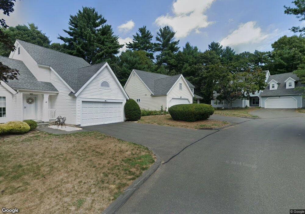
12 Southbridge Ct Simsbury, CT 06070
Estimated Value: $441,776 - $484,000
2
Beds
3
Baths
1,780
Sq Ft
$260/Sq Ft
Est. Value
About This Home
This home is located at 12 Southbridge Ct, Simsbury, CT 06070 and is currently estimated at $462,444, approximately $259 per square foot. 12 Southbridge Ct is a home located in Hartford County with nearby schools including Central School, Henry James Memorial School, and Simsbury High School.
Ownership History
Date
Name
Owned For
Owner Type
Purchase Details
Closed on
Jun 26, 2024
Sold by
Kathleen M Miller Ret and Miller
Bought by
Ames Sally A
Current Estimated Value
Purchase Details
Closed on
Aug 28, 2015
Sold by
Martin Richard
Bought by
Miller Kathleen
Purchase Details
Closed on
Aug 1, 2011
Sold by
Pawloski Barbara and Smith Douglas
Bought by
Martin Richard
Purchase Details
Closed on
Jan 21, 1988
Sold by
Stratton Forest Ltd
Bought by
Smith Elaine
Create a Home Valuation Report for This Property
The Home Valuation Report is an in-depth analysis detailing your home's value as well as a comparison with similar homes in the area
Home Values in the Area
Average Home Value in this Area
Purchase History
| Date | Buyer | Sale Price | Title Company |
|---|---|---|---|
| Ames Sally A | $465,000 | -- | |
| Kathleen M Miller Ret | -- | None Available | |
| Miller Kathleen | $290,000 | -- | |
| Martin Richard | $262,500 | -- | |
| Brodeur Sharon | -- | -- | |
| Smith Elaine | $254,730 | -- |
Source: Public Records
Mortgage History
| Date | Status | Borrower | Loan Amount |
|---|---|---|---|
| Previous Owner | Smith Elaine | $50,000 |
Source: Public Records
Tax History Compared to Growth
Tax History
| Year | Tax Paid | Tax Assessment Tax Assessment Total Assessment is a certain percentage of the fair market value that is determined by local assessors to be the total taxable value of land and additions on the property. | Land | Improvement |
|---|---|---|---|---|
| 2025 | $8,835 | $258,650 | $0 | $258,650 |
| 2024 | $8,616 | $258,650 | $0 | $258,650 |
| 2023 | $8,230 | $258,650 | $0 | $258,650 |
| 2022 | $7,136 | $184,720 | $0 | $184,720 |
| 2021 | $7,136 | $184,720 | $0 | $184,720 |
| 2020 | $6,851 | $184,720 | $0 | $184,720 |
| 2019 | $6,894 | $184,720 | $0 | $184,720 |
| 2018 | $6,944 | $184,720 | $0 | $184,720 |
| 2017 | $6,912 | $178,320 | $0 | $178,320 |
| 2016 | $6,619 | $178,320 | $0 | $178,320 |
| 2015 | $6,619 | $178,320 | $0 | $178,320 |
| 2014 | $6,623 | $178,320 | $0 | $178,320 |
Source: Public Records
Map
Nearby Homes
- 16 Stratton Forest Way
- 1 Ashton Cir
- 3 Stebbins Brook Ln
- 40 Firetown Rd Unit 39
- 1 West St Unit 206
- 5 Fox Den Rd
- 48 Library Ln Unit 48
- 18 Meadowlark Rd
- 15 Sand Hill Rd
- 141 Firetown Rd
- 308 Hopmeadow St
- 25 Barry Ln
- 302 Bushy Hill Rd
- 301 Bushy Hill Rd
- 15 Pinnacle Mountain Rd
- 9 Cobtail Way
- 10 Sachems Trail
- 51 Pine Glen Rd
- 26 Red Stone Dr
- 3 Minister Brook Dr
- 6 Southbridge Ct
- 16 Southbridge Ct
- 14 Southbridge Ct
- 32 Southbridge Ct
- 18 Southbridge Ct
- 10 Southbridge Ct
- 26 Southbridge Ct
- 8 Southbridge Ct
- 24 Southbridge Ct
- 34 Southbridge Ct
- 30 Southbridge Ct
- 28 Southbridge Ct
- 24 Southbridge Ct Unit 24
- 34 Southbridge Ct Unit 34
- 18 Southbridge Ct Unit 18
- 28 Southbridge Ct Unit 28
- 10 Southbridge Ct Unit 10
- 16 Southbridge Ct Unit 16
- 26 Southbridge Ct Unit 26
- 14 Southbridge Ct Unit 14