12 Spinnaker Ln Unit 12 Stockton Springs, ME 04981
Estimated Value: $569,000 - $588,000
3
Beds
3
Baths
3,124
Sq Ft
$186/Sq Ft
Est. Value
About This Home
This home is located at 12 Spinnaker Ln Unit 12, Stockton Springs, ME 04981 and is currently estimated at $580,827, approximately $185 per square foot. 12 Spinnaker Ln Unit 12 is a home located in Waldo County.
Ownership History
Date
Name
Owned For
Owner Type
Purchase Details
Closed on
May 27, 2016
Sold by
Holmes Jack E and Ohara-Holmes Kathleen
Bought by
Holmes-Nagle Jill and Nagle David L
Current Estimated Value
Home Financials for this Owner
Home Financials are based on the most recent Mortgage that was taken out on this home.
Original Mortgage
$150,000
Interest Rate
3.58%
Mortgage Type
Unknown
Purchase Details
Closed on
Mar 12, 2014
Sold by
Holmes Jack E
Bought by
Holmes Jack E and Ohara-Holmes Kathleen
Create a Home Valuation Report for This Property
The Home Valuation Report is an in-depth analysis detailing your home's value as well as a comparison with similar homes in the area
Home Values in the Area
Average Home Value in this Area
Purchase History
| Date | Buyer | Sale Price | Title Company |
|---|---|---|---|
| Holmes-Nagle Jill | -- | -- | |
| Holmes Jack E | -- | -- |
Source: Public Records
Mortgage History
| Date | Status | Borrower | Loan Amount |
|---|---|---|---|
| Closed | Holmes-Nagle Jill | $150,000 |
Source: Public Records
Tax History Compared to Growth
Tax History
| Year | Tax Paid | Tax Assessment Tax Assessment Total Assessment is a certain percentage of the fair market value that is determined by local assessors to be the total taxable value of land and additions on the property. | Land | Improvement |
|---|---|---|---|---|
| 2024 | $6,434 | $387,610 | $110,000 | $277,610 |
| 2023 | $5,074 | $228,550 | $60,000 | $168,550 |
| 2022 | $4,702 | $230,490 | $60,000 | $170,490 |
| 2021 | $4,718 | $232,430 | $60,000 | $172,430 |
| 2020 | $4,788 | $232,430 | $60,000 | $172,430 |
| 2019 | $4,758 | $234,370 | $60,000 | $174,370 |
| 2018 | $4,773 | $236,300 | $60,000 | $176,300 |
| 2017 | $4,844 | $236,300 | $60,000 | $176,300 |
| 2016 | $4,670 | $238,240 | $60,000 | $178,240 |
| 2015 | $4,551 | $240,180 | $60,000 | $180,180 |
| 2014 | $4,538 | $235,760 | $72,510 | $163,250 |
| 2013 | $4,244 | $235,760 | $72,510 | $163,250 |
Source: Public Records
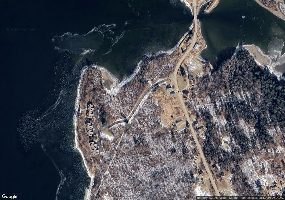
Map
Nearby Homes
- Lot #7 Cape Jellison Rd
- 62 Harborview Dr
- 45 Harborview Dr
- 7 Winchester Way
- 96 Pirates Cove Rd
- 26 Heights Rd
- 25 School St
- 49 Fort Point Cove Rd
- 770 Cape Jellison Rd
- 10 Church St
- 270 Main St
- Lot 157 Denslow Rd
- 4 Upper Sylvan St
- 38 Church St
- 40 Church St
- 55 Upper Sylvan St
- 112 Rocky Point Rd
- 27 Sears Island Rd
- 308 E Main St
- 95 Osprey Reach Rd
- 11 Spinnaker Ln Unit 11
- 10 Spinnaker Ln Unit 10
- 8 Spinnaker Ln Unit 8
- 6 Spinnaker Ln Unit 6
- 5 Spinnaker Ln Unit 5
- 4 Spinnaker Ln Unit 4
- 3 Spinnaker Ln Unit 3
- 1 Spinnaker Ln Unit 1
- 2 Spinnaker Ln Unit 2
- 284 Cape Jellison Rd
- 296 Cape Jellison Rd
- 299 Cape Jellison Rd
- 305 Cape Jellison Rd
- 56 Parsons Dr
- 275 Cape Jellison Rd
- 304 Cape Jellison Rd
- 247 Cape Jellison Rd
- 00 Cape Jellison Rd
- 363 Cape Jellison Rd
- 263 Cape Jellison Rd