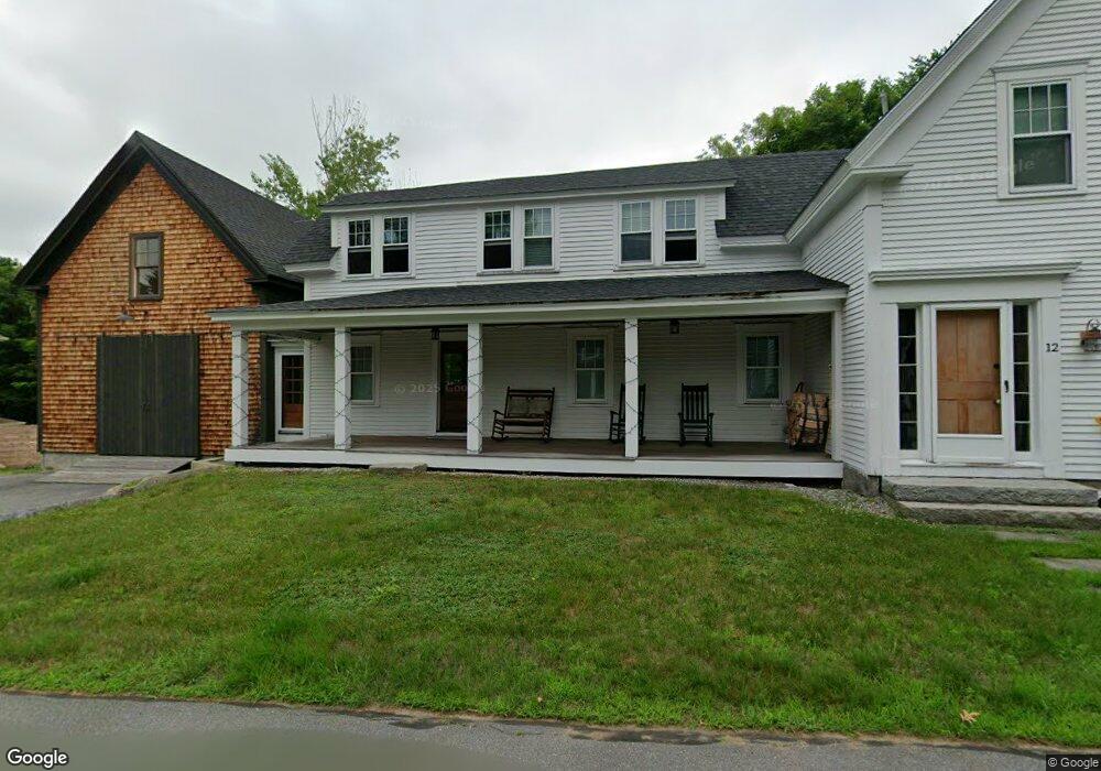
12 Spring St Bethel, ME 04217
Estimated Value: $353,233 - $643,000
3
Beds
3
Baths
1,869
Sq Ft
$260/Sq Ft
Est. Value
About This Home
This home is located at 12 Spring St, Bethel, ME 04217 and is currently estimated at $486,808, approximately $260 per square foot. 12 Spring St is a home located in Oxford County with nearby schools including Telstar Middle School, Telstar High School, and Gould Academy.
Ownership History
Date
Name
Owned For
Owner Type
Purchase Details
Closed on
Jan 4, 2019
Sold by
Driscoll Mark H
Bought by
Mark H Driscoll Ret
Current Estimated Value
Purchase Details
Closed on
Jul 14, 2014
Sold by
Driscoll Caroline M and Driscoll Mark H
Bought by
Driscoll Mark H
Home Financials for this Owner
Home Financials are based on the most recent Mortgage that was taken out on this home.
Original Mortgage
$111,735
Interest Rate
4.12%
Mortgage Type
Unknown
Purchase Details
Closed on
Aug 26, 2008
Sold by
Peters Jacqueline
Bought by
Driscoll Mark H and Driscoll Caroline M
Home Financials for this Owner
Home Financials are based on the most recent Mortgage that was taken out on this home.
Original Mortgage
$124,500
Interest Rate
6.4%
Mortgage Type
Purchase Money Mortgage
Create a Home Valuation Report for This Property
The Home Valuation Report is an in-depth analysis detailing your home's value as well as a comparison with similar homes in the area
Home Values in the Area
Average Home Value in this Area
Purchase History
| Date | Buyer | Sale Price | Title Company |
|---|---|---|---|
| Mark H Driscoll Ret | -- | -- | |
| Driscoll Mark H | -- | -- | |
| Driscoll Mark H | -- | -- |
Source: Public Records
Mortgage History
| Date | Status | Borrower | Loan Amount |
|---|---|---|---|
| Previous Owner | Driscoll Mark H | $111,735 | |
| Previous Owner | Driscoll Mark H | $124,500 |
Source: Public Records
Tax History Compared to Growth
Tax History
| Year | Tax Paid | Tax Assessment Tax Assessment Total Assessment is a certain percentage of the fair market value that is determined by local assessors to be the total taxable value of land and additions on the property. | Land | Improvement |
|---|---|---|---|---|
| 2024 | $2,486 | $178,200 | $52,300 | $125,900 |
| 2023 | $2,299 | $178,200 | $52,300 | $125,900 |
| 2022 | $2,181 | $178,200 | $52,300 | $125,900 |
| 2021 | $2,188 | $162,700 | $52,300 | $110,400 |
| 2020 | $2,097 | $144,600 | $52,300 | $92,300 |
| 2019 | $2,097 | $144,600 | $52,300 | $92,300 |
| 2018 | $2,112 | $148,700 | $52,300 | $96,400 |
| 2016 | $2,007 | $148,700 | $52,300 | $96,400 |
| 2015 | $2,052 | $148,700 | $52,300 | $96,400 |
| 2013 | $1,829 | $148,700 | $52,300 | $96,400 |
Source: Public Records
Map
Nearby Homes
- 62 Main St
- 15 Mill Hill Rd Unit 2B
- 67 Broad St
- 35 Evergreen Rd
- 18 Lover's Ln
- 135 Vernon St Unit 7C
- 135 Vernon St Unit 4F
- 135 Vernon St Unit 4E
- 23 Cross St Unit 312
- 23 Cross St Unit 209
- 23 Cross St Unit 201
- 23 Cross St Unit 106
- 23 Cross St Unit 107
- 23 Cross St Unit 305
- 109 Songo Pond Rd
- 88 Fairway Rd Unit 550
- 188 Paradise Rd
- 2 Forest Dr
- 3 Forest Dr
- 4 Forest Dr