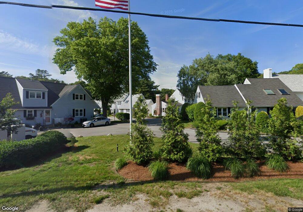
12 State Rd Unit 2D Plymouth, MA 02360
Estimated Value: $403,392 - $499,000
2
Beds
2
Baths
1,236
Sq Ft
$358/Sq Ft
Est. Value
About This Home
This home is located at 12 State Rd Unit 2D, Plymouth, MA 02360 and is currently estimated at $442,598, approximately $358 per square foot. 12 State Rd Unit 2D is a home located in Plymouth County with nearby schools including Nathaniel Morton Elementary School, Plymouth Community Intermediate, and Plymouth North High School.
Ownership History
Date
Name
Owned For
Owner Type
Purchase Details
Closed on
Jun 9, 2006
Sold by
Carafoli Charles E
Bought by
Uvanitte Maryann
Current Estimated Value
Home Financials for this Owner
Home Financials are based on the most recent Mortgage that was taken out on this home.
Original Mortgage
$227,250
Interest Rate
6.62%
Mortgage Type
Purchase Money Mortgage
Purchase Details
Closed on
Aug 27, 1999
Sold by
Olga D Anderson Rt and Anderson Frank
Bought by
Carafoli Charles F
Create a Home Valuation Report for This Property
The Home Valuation Report is an in-depth analysis detailing your home's value as well as a comparison with similar homes in the area
Home Values in the Area
Average Home Value in this Area
Purchase History
| Date | Buyer | Sale Price | Title Company |
|---|---|---|---|
| Uvanitte Maryann | $252,500 | -- | |
| Carafoli Charles F | $134,900 | -- |
Source: Public Records
Mortgage History
| Date | Status | Borrower | Loan Amount |
|---|---|---|---|
| Open | Carafoli Charles F | $225,750 | |
| Closed | Carafoli Charles F | $235,500 | |
| Closed | Carafoli Charles F | $227,250 | |
| Previous Owner | Carafoli Charles F | $146,250 |
Source: Public Records
Tax History Compared to Growth
Tax History
| Year | Tax Paid | Tax Assessment Tax Assessment Total Assessment is a certain percentage of the fair market value that is determined by local assessors to be the total taxable value of land and additions on the property. | Land | Improvement |
|---|---|---|---|---|
| 2025 | $4,332 | $341,400 | $0 | $341,400 |
| 2024 | $4,035 | $313,500 | $0 | $313,500 |
| 2023 | $3,966 | $289,300 | $0 | $289,300 |
| 2022 | $3,719 | $241,000 | $0 | $241,000 |
| 2021 | $3,681 | $227,800 | $0 | $227,800 |
| 2020 | $3,438 | $210,300 | $0 | $210,300 |
| 2019 | $3,478 | $210,300 | $0 | $210,300 |
| 2018 | $3,462 | $210,300 | $0 | $210,300 |
| 2017 | $3,633 | $219,100 | $0 | $219,100 |
| 2016 | $3,065 | $188,400 | $0 | $188,400 |
| 2015 | $2,890 | $186,000 | $0 | $186,000 |
| 2014 | $2,619 | $173,100 | $0 | $173,100 |
Source: Public Records
Map
Nearby Homes
- 12 State Rd Unit 3D
- 24 Country Club Dr Unit 24
- 106 Rocky Hill Rd
- 41 Bay Shore Dr
- 50 Clifford Rd
- 30 Langford Rd
- 19 Langford Rd
- 157 Bay Shore Dr
- 18 River St
- 46 Sandwich Rd Unit 5
- 46 Sandwich Rd Unit 2
- 46 Sandwich Rd Unit 9
- 46 Sandwich Rd Unit 11
- 46 Sandwich Rd Unit 26
- 46 Sandwich Rd Unit 41
- 46 Sandwich Rd Unit 12
- 46 Sandwich Rd Unit 6
- 46 Sandwich Rd Unit 14
- 46 Sandwich Rd Unit 36
- 46 Sandwich Rd Unit 34
- 12 State Rd Unit 4H
- 12 State Rd Unit 4G
- 12 State Rd Unit 4F
- 12 State Rd Unit 4E
- 12 State Rd Unit 4D
- 12 State Rd Unit 4C
- 12 State Rd Unit 4A
- 12 State Rd Unit 3H
- 12 State Rd Unit 3G
- 12 State Rd Unit 3E
- 12 State Rd Unit 3C
- 12 State Rd Unit 3B
- 12 State Rd Unit 3A
- 12 State Rd Unit 2E
- 12 State Rd Unit 2C
- 12 State Rd Unit 2B
- 12 State Rd Unit 2A
- 12 State Rd Unit 1D
- 12 State Rd Unit 1C
- 12 State Rd Unit 1B