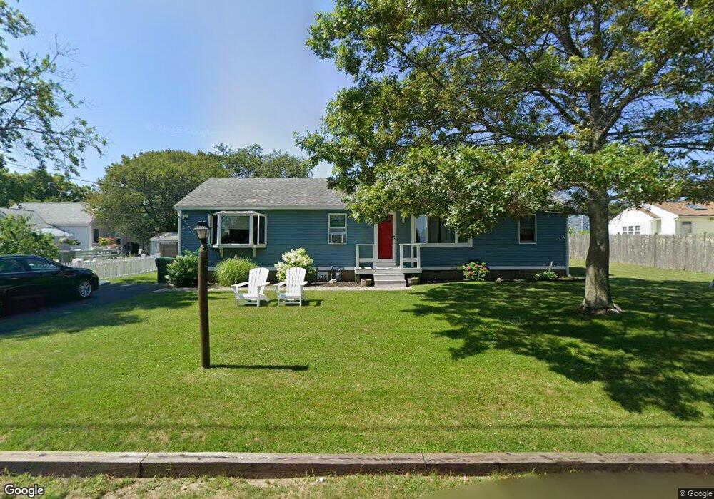
12 Stetson Rd Marshfield, MA 02050
Ocean Bluff-Brant Rock NeighborhoodEstimated Value: $667,723 - $778,000
4
Beds
1
Bath
1,640
Sq Ft
$439/Sq Ft
Est. Value
About This Home
This home is located at 12 Stetson Rd, Marshfield, MA 02050 and is currently estimated at $720,431, approximately $439 per square foot. 12 Stetson Rd is a home with nearby schools including Governor Edward Winslow School, Furnace Brook Middle School, and Marshfield High School.
Create a Home Valuation Report for This Property
The Home Valuation Report is an in-depth analysis detailing your home's value as well as a comparison with similar homes in the area
Home Values in the Area
Average Home Value in this Area
Tax History
| Year | Tax Paid | Tax Assessment Tax Assessment Total Assessment is a certain percentage of the fair market value that is determined by local assessors to be the total taxable value of land and additions on the property. | Land | Improvement |
|---|---|---|---|---|
| 2025 | $5,265 | $531,800 | $321,700 | $210,100 |
| 2024 | $5,060 | $487,000 | $301,600 | $185,400 |
| 2023 | $4,850 | $441,600 | $271,400 | $170,200 |
| 2022 | $4,850 | $374,500 | $231,200 | $143,300 |
| 2021 | $4,649 | $352,500 | $221,200 | $131,300 |
| 2020 | $4,262 | $319,700 | $191,000 | $128,700 |
| 2019 | $4,081 | $305,000 | $191,000 | $114,000 |
| 2018 | $4,024 | $301,000 | $191,000 | $110,000 |
| 2017 | $3,914 | $285,300 | $181,000 | $104,300 |
| 2016 | $3,671 | $264,500 | $170,900 | $93,600 |
| 2015 | $3,463 | $260,600 | $170,900 | $89,700 |
| 2014 | $3,409 | $256,500 | $170,900 | $85,600 |
Source: Public Records
Map
Nearby Homes
- 66 Shawmut Ave
- 65 Massasoit Ave
- 73 Massasoit Ave
- 74 Shawmut Ave
- 9 Stetson Rd
- 54 Shawmut Ave
- 53 Massasoit Ave
- 53 Massasoit Ave Unit 1
- 81 Massasoit Ave
- 53 Massasoit Ave
- 77 Shawmut Ave
- 61 Shawmut Ave
- 61 Shawmut Ave Unit 61
- 102 Colonial Rd
- 3 Diane Way
- 98 Colonial Rd
- 24 Pamela Way
- 21 Diane Way
- 94 Colonial Rd
- 94 Colonial Rd Unit 1
Your Personal Tour Guide
Ask me questions while you tour the home.