12 Stone Castle Dr Unit 79 Methuen, MA 01844
The West End NeighborhoodEstimated Value: $758,000 - $816,000
2
Beds
3
Baths
2,287
Sq Ft
$348/Sq Ft
Est. Value
About This Home
This home is located at 12 Stone Castle Dr Unit 79, Methuen, MA 01844 and is currently estimated at $796,214, approximately $348 per square foot. 12 Stone Castle Dr Unit 79 is a home located in Essex County with nearby schools including Marsh Grammar School, South Point Elementary School, and Methuen High School.
Ownership History
Date
Name
Owned For
Owner Type
Purchase Details
Closed on
Mar 13, 2009
Sold by
Alcro Dev Llc
Bought by
Klockow Tr Dennis H and Klockow Phyliss J
Current Estimated Value
Home Financials for this Owner
Home Financials are based on the most recent Mortgage that was taken out on this home.
Original Mortgage
$50,000
Outstanding Balance
$31,877
Interest Rate
5.18%
Mortgage Type
Purchase Money Mortgage
Estimated Equity
$764,337
Purchase Details
Closed on
Jan 31, 2008
Sold by
Alcro Dev Llc
Bought by
Klockow Rt
Home Financials for this Owner
Home Financials are based on the most recent Mortgage that was taken out on this home.
Original Mortgage
$100,000
Interest Rate
6.18%
Mortgage Type
Purchase Money Mortgage
Create a Home Valuation Report for This Property
The Home Valuation Report is an in-depth analysis detailing your home's value as well as a comparison with similar homes in the area
Home Values in the Area
Average Home Value in this Area
Purchase History
| Date | Buyer | Sale Price | Title Company |
|---|---|---|---|
| Klockow Tr Dennis H | $508,743 | -- | |
| Klockow Rt | $508,743 | -- |
Source: Public Records
Mortgage History
| Date | Status | Borrower | Loan Amount |
|---|---|---|---|
| Open | Klockow Tr Dennis H | $50,000 | |
| Previous Owner | Klockow Rt | $100,000 |
Source: Public Records
Tax History Compared to Growth
Tax History
| Year | Tax Paid | Tax Assessment Tax Assessment Total Assessment is a certain percentage of the fair market value that is determined by local assessors to be the total taxable value of land and additions on the property. | Land | Improvement |
|---|---|---|---|---|
| 2025 | $7,511 | $709,900 | $0 | $709,900 |
| 2024 | $7,428 | $684,000 | $0 | $684,000 |
| 2023 | $7,219 | $617,000 | $0 | $617,000 |
| 2022 | $8,409 | $644,400 | $0 | $644,400 |
| 2021 | $7,447 | $564,600 | $0 | $564,600 |
| 2020 | $7,134 | $530,800 | $0 | $530,800 |
| 2019 | $7,204 | $507,700 | $0 | $507,700 |
| 2018 | $7,994 | $560,200 | $0 | $560,200 |
| 2017 | $6,894 | $470,600 | $0 | $470,600 |
| 2016 | $6,703 | $452,600 | $0 | $452,600 |
| 2015 | $6,355 | $435,300 | $0 | $435,300 |
Source: Public Records
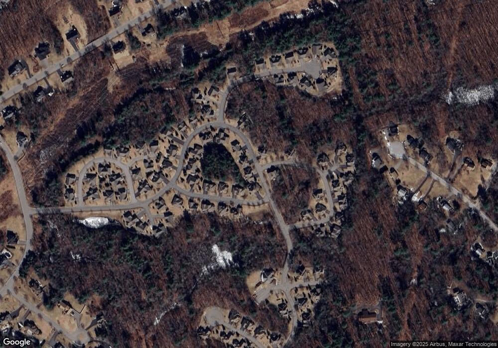
Map
Nearby Homes
- 12 Stone Castle Dr
- 14 Stone Castle Dr
- 14 Stone Castle Dr Unit 78
- 1 Beeston Ln
- 1 Beeston Ln Unit 68
- 3 Beeston Ln
- 3 Beeston Ln Unit 69
- 8 Hastings Cir
- 8 Hastings Cir Unit 86
- 5 Stone Castle Dr
- 5 Beeston Ln
- 5 Beeston Ln Unit 70
- 16 Stone Castle Dr
- 16 Stone Castle Dr Unit 77
- 2 Beeston Ln
- 2 Beeston Ln
- 7 Beeston Ln
- 7 Beeston Ln Unit 71
- 19 Hastings Cir
- 19 Hastings Cir Unit 53