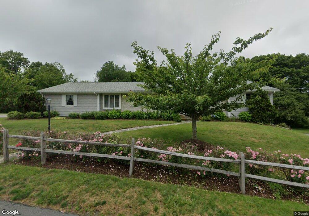
12 Sullivan Ave Somerset, MA 02725
Brayton Point NeighborhoodEstimated Value: $569,000 - $721,000
3
Beds
2
Baths
2,432
Sq Ft
$266/Sq Ft
Est. Value
About This Home
This home is located at 12 Sullivan Ave, Somerset, MA 02725 and is currently estimated at $645,698, approximately $265 per square foot. 12 Sullivan Ave is a home located in Bristol County with nearby schools including South Elementary School, Somerset Middle School, and St. Michael's School.
Ownership History
Date
Name
Owned For
Owner Type
Purchase Details
Closed on
Apr 10, 2014
Sold by
Fortier Anne L
Bought by
Fortier Roger W
Current Estimated Value
Purchase Details
Closed on
Oct 18, 1972
Bought by
Fortier Ann Louise
Create a Home Valuation Report for This Property
The Home Valuation Report is an in-depth analysis detailing your home's value as well as a comparison with similar homes in the area
Home Values in the Area
Average Home Value in this Area
Purchase History
| Date | Buyer | Sale Price | Title Company |
|---|---|---|---|
| Fortier Roger W | -- | -- | |
| Fortier Roger W | -- | -- | |
| Fortier Ann Louise | -- | -- |
Source: Public Records
Tax History Compared to Growth
Tax History
| Year | Tax Paid | Tax Assessment Tax Assessment Total Assessment is a certain percentage of the fair market value that is determined by local assessors to be the total taxable value of land and additions on the property. | Land | Improvement |
|---|---|---|---|---|
| 2025 | $8,166 | $614,000 | $193,400 | $420,600 |
| 2024 | $7,628 | $596,400 | $193,400 | $403,000 |
| 2023 | $6,741 | $531,600 | $175,700 | $355,900 |
| 2022 | $6,273 | $472,000 | $152,900 | $319,100 |
| 2021 | $6,354 | $432,800 | $139,100 | $293,700 |
| 2020 | $6,402 | $420,600 | $139,100 | $281,500 |
| 2019 | $7,105 | $389,300 | $139,100 | $250,200 |
| 2018 | $6,280 | $370,300 | $139,100 | $231,200 |
| 2017 | $5,960 | $342,500 | $139,100 | $203,400 |
| 2016 | $5,997 | $342,500 | $139,100 | $203,400 |
| 2015 | $5,597 | $322,600 | $130,900 | $191,700 |
| 2014 | $7,593 | $314,400 | $124,900 | $189,500 |
Source: Public Records
Map
Nearby Homes
- 95 Caroline Ave
- 105 Cornhill Rd
- 21 Bradley Ave
- 297 Lindsey St
- 84 Cory St
- 337 Lepes Rd
- 81 N Court St
- 10 N Court St Unit 3
- 82 Wellington St
- 96 Wellington St
- 750 Davol St Unit 1012
- 750 Davol St Unit 119
- 750 Davol St Unit 324
- 33-35 Malvey St
- 327 Brownell St
- 302 Cory St
- 1240-1246 N Main St
- 11 Dyer St
- 1556 N Main St Unit 7
- 462 Harbor View Blvd
- 19 Sullivan Ave
- 36 Sullivan Ave
- 35 Sullivan Ave
- 174 Wilbur Ave
- 120 Wilbur Ave
- 219 Wilbur Ave
- 63 Sarah Ave
- 41 Sarah Ave
- 60 Sullivan Ave
- 57 Sullivan Ave
- 89 Sarah Ave
- 161 Wilbur Ave Unit 2
- 161 Wilbur Ave
- 44 Sarah Ave
- 32 Betsy b Ave
- 21 Summerfield Ave
- 79 Sullivan Ave
- 11 Rodney Ave
- 29 Rodney Ave
- 114 Sarah Ave