12 Summit Cir Mays Landing, NJ 08330
Estimated Value: $319,467 - $343,000
3
Beds
3
Baths
1,648
Sq Ft
$201/Sq Ft
Est. Value
About This Home
This home is located at 12 Summit Cir, Mays Landing, NJ 08330 and is currently estimated at $331,617, approximately $201 per square foot. 12 Summit Cir is a home located in Atlantic County with nearby schools including George L. Hess Educational Complex, Joseph Shaner School, and William Davies Middle School.
Ownership History
Date
Name
Owned For
Owner Type
Purchase Details
Closed on
Jul 7, 2025
Sold by
Lsf9 Master Participation Trust and Us Bank Trust Na
Bought by
Pierre Clermillien
Current Estimated Value
Home Financials for this Owner
Home Financials are based on the most recent Mortgage that was taken out on this home.
Original Mortgage
$279,095
Interest Rate
6.63%
Mortgage Type
New Conventional
Purchase Details
Closed on
Feb 27, 2018
Sold by
Massey Richard N
Bought by
Us Bank Trust Na and Lsf9 Master Participation Trust
Purchase Details
Closed on
Oct 14, 2005
Sold by
Savul Shazia
Bought by
Masssey Richard
Home Financials for this Owner
Home Financials are based on the most recent Mortgage that was taken out on this home.
Original Mortgage
$208,000
Interest Rate
5.85%
Mortgage Type
Purchase Money Mortgage
Purchase Details
Closed on
Mar 28, 2002
Sold by
Fortress Pennsylvania Llc
Bought by
Savul Shazia A
Home Financials for this Owner
Home Financials are based on the most recent Mortgage that was taken out on this home.
Original Mortgage
$139,500
Interest Rate
6.25%
Create a Home Valuation Report for This Property
The Home Valuation Report is an in-depth analysis detailing your home's value as well as a comparison with similar homes in the area
Home Values in the Area
Average Home Value in this Area
Purchase History
| Date | Buyer | Sale Price | Title Company |
|---|---|---|---|
| Pierre Clermillien | $325,000 | Surety Title | |
| Us Bank Trust Na | -- | Terra Abstract Inc | |
| Masssey Richard | $260,000 | -- | |
| Savul Shazia A | $146,894 | Congress Title Corp |
Source: Public Records
Mortgage History
| Date | Status | Borrower | Loan Amount |
|---|---|---|---|
| Previous Owner | Pierre Clermillien | $279,095 | |
| Previous Owner | Masssey Richard | $208,000 | |
| Previous Owner | Savul Shazia A | $139,500 |
Source: Public Records
Tax History Compared to Growth
Tax History
| Year | Tax Paid | Tax Assessment Tax Assessment Total Assessment is a certain percentage of the fair market value that is determined by local assessors to be the total taxable value of land and additions on the property. | Land | Improvement |
|---|---|---|---|---|
| 2025 | $5,833 | $170,000 | $30,000 | $140,000 |
| 2024 | $5,833 | $170,000 | $30,000 | $140,000 |
| 2023 | $5,484 | $170,000 | $30,000 | $140,000 |
| 2022 | $5,484 | $170,000 | $30,000 | $140,000 |
| 2021 | $5,472 | $170,000 | $30,000 | $140,000 |
| 2020 | $5,472 | $170,000 | $30,000 | $140,000 |
| 2019 | $5,486 | $170,000 | $30,000 | $140,000 |
| 2018 | $5,294 | $170,000 | $30,000 | $140,000 |
| 2017 | $5,211 | $170,000 | $30,000 | $140,000 |
| 2016 | $5,064 | $170,000 | $30,000 | $140,000 |
| 2015 | $4,893 | $170,000 | $30,000 | $140,000 |
| 2014 | $4,642 | $176,700 | $35,000 | $141,700 |
Source: Public Records
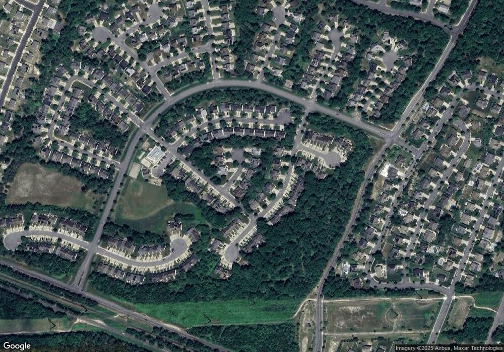
Map
Nearby Homes
- 68 Northridge Dr
- 7 Fairfax Rd
- 154 Muirfield Ct
- 165 Turnberry Ct
- 134 Glen Eagles Ct
- 156 Muirfield Ct
- 172 Turnberry Ct
- 197 Pebble Beach Dr
- 182 Pebble Beach Dr
- 105 Leo Ave
- 6035 W Jersey Ave
- 218 Burning Tree Ct
- 106 Leo Ave
- 3 Pin Oak Dr
- 124 Leo Ave
- 200 Booker Ave
- 117 Bernard Ave
- 103 Bernard Ave
- 3 Knollwood Dr
- 85 Knollwood Dr Unit 85
- 10 Summit Cir Unit C1
- 16 Summit Cir Unit C2
- 14 Summit Cir Unit C1
- 16 Summit Cir Unit 2
- 8 Summit Cir Unit C2
- 6 Summit Cir
- 4 Summit Cir Unit C2
- 2 Summit Cir Unit C1
- 2 Summit Cir Unit 1
- 16 Northridge Dr
- 14 Northridge Dr Unit C1
- 12 Northridge Dr Unit C2
- 10 Northridge Dr Unit C1
- 20 Summit Cir
- 18 Summit Cir Unit 18
- 20 Northridge Dr Unit 6C2
- 18 Northridge Dr Unit C1
- 8 Northridge Dr Unit C2
- 6 Northridge Dr Unit C1
- 32 Summit Cir