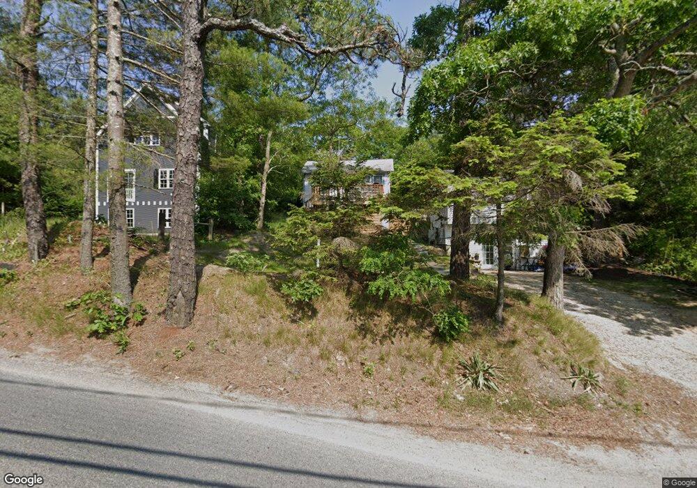
12 Summit Rd Plymouth, MA 02360
Estimated Value: $302,061 - $435,000
3
Beds
--
Bath
437
Sq Ft
$877/Sq Ft
Est. Value
About This Home
This home is located at 12 Summit Rd, Plymouth, MA 02360 and is currently estimated at $383,265, approximately $877 per square foot. 12 Summit Rd is a home with nearby schools including Indian Brook, Plymouth South Middle School, and Plymouth South High School.
Ownership History
Date
Name
Owned For
Owner Type
Purchase Details
Closed on
Jul 20, 2015
Sold by
Johnson Russell E and Johnson Jeffrey A
Bought by
Johnson Russell E and Johnson Louise
Current Estimated Value
Purchase Details
Closed on
Jan 31, 2005
Sold by
Johnson Jeffrey A
Bought by
Johnson Mark V
Purchase Details
Closed on
Dec 15, 1992
Sold by
Johnson Mark V
Bought by
Johnson Jeffrey A
Purchase Details
Closed on
Dec 12, 1988
Sold by
Johnson Mark V
Bought by
Johnson Jeffrey A
Create a Home Valuation Report for This Property
The Home Valuation Report is an in-depth analysis detailing your home's value as well as a comparison with similar homes in the area
Home Values in the Area
Average Home Value in this Area
Purchase History
| Date | Buyer | Sale Price | Title Company |
|---|---|---|---|
| Johnson Russell E | $30,000 | -- | |
| Johnson Mark V | -- | -- | |
| Johnson Jeffrey A | $10,000 | -- | |
| Johnson Jeffrey A | $10,000 | -- |
Source: Public Records
Tax History Compared to Growth
Tax History
| Year | Tax Paid | Tax Assessment Tax Assessment Total Assessment is a certain percentage of the fair market value that is determined by local assessors to be the total taxable value of land and additions on the property. | Land | Improvement |
|---|---|---|---|---|
| 2025 | $2,683 | $211,400 | $177,900 | $33,500 |
| 2024 | $2,654 | $206,200 | $174,300 | $31,900 |
| 2023 | $2,510 | $183,100 | $152,100 | $31,000 |
| 2022 | $2,534 | $164,200 | $138,300 | $25,900 |
| 2021 | $2,540 | $157,200 | $138,300 | $18,900 |
| 2020 | $2,510 | $153,500 | $134,600 | $18,900 |
| 2019 | $2,296 | $138,800 | $119,900 | $18,900 |
| 2018 | $2,132 | $129,500 | $110,600 | $18,900 |
| 2017 | $2,084 | $125,700 | $110,600 | $15,100 |
| 2016 | $1,915 | $117,700 | $101,400 | $16,300 |
| 2015 | $1,829 | $117,700 | $101,400 | $16,300 |
| 2014 | -- | $117,500 | $101,400 | $16,100 |
Source: Public Records
Map
Nearby Homes
- 249 Little Sandy Pond Rd
- 110 Valley Rd
- 1096 Long Pond Rd
- 119 Nathan Ln
- 1 Kara's Way
- 1150 Long Pond Rd
- 5 Laurie Ann's Ln
- 101 Perseverance Path
- 29 Pioneer Trail
- 146 Herring Pond Rd
- 12 Kara's Way
- 455 Lunns Way
- 8 Joyce Dr
- 72 Kirk Cir
- 464 Lunns Way
- 43 Freeman Dr
- 18 Westcliff Dr
- 20 Westcliff Dr Unit 20
- 4 Westcliff Dr Unit Golfview
- 2462 State Rd
- 12 Summit Rd Unit n/a
- 43 Lookout Rd
- 41 Lookout Rd
- 39 Lookout Rd
- 164 Little Sandy Pond Rd
- 168 Little Sandy Pond Rd
- 16 Summit Rd
- 5 Summit Rd
- 16 Summit Rd
- 51 Alpine Rd
- 0 Summit Rd
- 160 Little Sandy Pond Rd
- 165 Little Sandy Pond Rd
- 167 Little Sandy Pond Rd
- 178 Little Sandy Pond Rd
- 41 Alpine Rd
- 158 Little Sandy Pond Rd
- 1 Smaland Ln
- 161 Little Sandy Pond Rd
- 173 Little Sandy Pond Rd