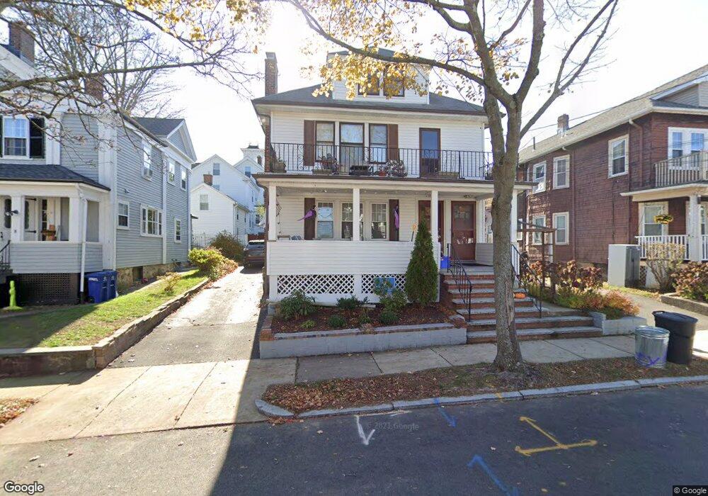
12 Surry Rd Unit 14 Arlington, MA 02476
Arlington Heights NeighborhoodEstimated Value: $1,173,339 - $1,354,000
5
Beds
2
Baths
2,337
Sq Ft
$537/Sq Ft
Est. Value
About This Home
This home is located at 12 Surry Rd Unit 14, Arlington, MA 02476 and is currently estimated at $1,255,835, approximately $537 per square foot. 12 Surry Rd Unit 14 is a home located in Middlesex County with nearby schools including Peirce Elementary School, Dallin Elementary School, and Ottoson Middle School.
Ownership History
Date
Name
Owned For
Owner Type
Purchase Details
Closed on
Jul 26, 2023
Sold by
Rogaris Panagiotis and Rogaris Chrisoula
Bought by
Rogaris Nt and Rogaris
Current Estimated Value
Purchase Details
Closed on
Nov 4, 2004
Sold by
Moshonisiou Anastasios and Moshon Ernest
Bought by
12 Surry Road Rt and Moshonisiou
Create a Home Valuation Report for This Property
The Home Valuation Report is an in-depth analysis detailing your home's value as well as a comparison with similar homes in the area
Home Values in the Area
Average Home Value in this Area
Purchase History
| Date | Buyer | Sale Price | Title Company |
|---|---|---|---|
| Rogaris Nt | -- | None Available | |
| 12 Surry Road Rt | -- | -- |
Source: Public Records
Tax History
| Year | Tax Paid | Tax Assessment Tax Assessment Total Assessment is a certain percentage of the fair market value that is determined by local assessors to be the total taxable value of land and additions on the property. | Land | Improvement |
|---|---|---|---|---|
| 2025 | $11,257 | $1,045,200 | $489,500 | $555,700 |
| 2024 | $10,367 | $978,900 | $463,200 | $515,700 |
| 2023 | $10,756 | $959,500 | $405,300 | $554,200 |
| 2022 | $10,480 | $917,700 | $368,400 | $549,300 |
| 2021 | $10,129 | $893,200 | $368,400 | $524,800 |
| 2020 | $9,879 | $893,200 | $368,400 | $524,800 |
| 2019 | $8,600 | $763,800 | $368,400 | $395,400 |
| 2018 | $8,754 | $721,700 | $326,300 | $395,400 |
| 2017 | $8,102 | $645,100 | $273,700 | $371,400 |
| 2016 | $8,257 | $645,100 | $273,700 | $371,400 |
| 2015 | $7,707 | $568,800 | $236,800 | $332,000 |
Source: Public Records
Map
Nearby Homes
- 33 Harvard St
- 11 Lowell St Unit B
- 7 Park Avenue Extension
- 74 Wollaston Ave
- 39 Forest St Unit 39A
- 4 Beck Rd
- 74 Quincy St
- 7 Bow St
- 15 Higgins St Unit 17
- 303 Gray St
- 455 Summer St Unit 455
- 455-457 Summer St
- 8 Old Colony Ln Unit 2
- 211 Florence Ave
- 25 Walnut Terrace
- 231 Wachusett Ave
- 15 Laurel St Unit 3
- 6 Brattle St Unit 6
- 69 Edmund Rd
- 1025 Massachusetts Ave Unit 404
- 8 Surry Rd
- 16 Surry Rd Unit 18
- 16-18 Surry Rd Unit 16
- 83 Appleton St Unit 1
- 83 Appleton St
- 83 Appleton St Unit Rear
- 20 Surry Rd Unit 22
- 20-22 Surry Rd
- 24 Daniels St
- 15 Surry Rd Unit 15
- 13 Surry Rd Unit 15
- 28 Daniels St Unit 30
- 30 Daniels St Unit 30
- 19 Surry Rd
- 17 Surry Rd Unit 19
- 24 Surry Rd Unit 26
- 24 Surry Rd
- 79 Appleton St Unit 81
- 9 Surry Rd
- 1 Paul Revere Rd
Your Personal Tour Guide
Ask me questions while you tour the home.