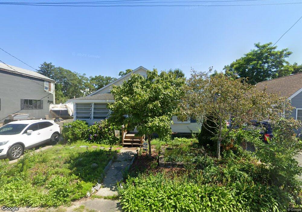
12 Swift Ave Wareham, MA 02571
Wareham Center NeighborhoodEstimated Value: $322,000 - $421,000
2
Beds
1
Bath
854
Sq Ft
$430/Sq Ft
Est. Value
About This Home
This home is located at 12 Swift Ave, Wareham, MA 02571 and is currently estimated at $367,585, approximately $430 per square foot. 12 Swift Ave is a home located in Plymouth County.
Ownership History
Date
Name
Owned For
Owner Type
Purchase Details
Closed on
Feb 29, 2024
Sold by
Mcintyre Donna M
Bought by
12 Swift Ave Rt and Mcintyre
Current Estimated Value
Purchase Details
Closed on
Jun 9, 2023
Sold by
Mracurio Gregory
Bought by
Mcintyre Donna M
Purchase Details
Closed on
Mar 1, 2000
Sold by
Est Seymour Mary D and Seymour Samuel
Bought by
Mercurio Gregory
Create a Home Valuation Report for This Property
The Home Valuation Report is an in-depth analysis detailing your home's value as well as a comparison with similar homes in the area
Home Values in the Area
Average Home Value in this Area
Purchase History
| Date | Buyer | Sale Price | Title Company |
|---|---|---|---|
| 12 Swift Ave Rt | -- | None Available | |
| 12 Swift Ave Rt | -- | None Available | |
| 12 Swift Ave Rt | -- | None Available | |
| Mcintyre Donna M | $170,000 | None Available | |
| Mcintyre Donna M | $170,000 | None Available | |
| Mercurio Gregory | $65,000 | -- | |
| Mercurio Gregory | $65,000 | -- |
Source: Public Records
Mortgage History
| Date | Status | Borrower | Loan Amount |
|---|---|---|---|
| Previous Owner | Mercurio Gregory | $24,191 |
Source: Public Records
Tax History
| Year | Tax Paid | Tax Assessment Tax Assessment Total Assessment is a certain percentage of the fair market value that is determined by local assessors to be the total taxable value of land and additions on the property. | Land | Improvement |
|---|---|---|---|---|
| 2025 | $3,229 | $309,900 | $107,700 | $202,200 |
| 2024 | $3,266 | $290,800 | $80,800 | $210,000 |
| 2023 | $3,105 | $258,100 | $73,400 | $184,700 |
| 2022 | $2,823 | $214,200 | $73,400 | $140,800 |
| 2021 | $2,616 | $194,500 | $73,400 | $121,100 |
| 2020 | $2,477 | $186,800 | $73,400 | $113,400 |
| 2019 | $2,263 | $170,300 | $65,700 | $104,600 |
| 2018 | $2,062 | $151,300 | $65,700 | $85,600 |
| 2017 | $2,035 | $151,300 | $65,700 | $85,600 |
| 2016 | $1,877 | $138,700 | $62,600 | $76,100 |
| 2015 | $1,788 | $136,800 | $62,600 | $74,200 |
| 2014 | $1,751 | $136,300 | $62,600 | $73,700 |
Source: Public Records
Map
Nearby Homes
- 21 Bayview St
- 43 Shore Ave
- 20 Grant St
- 10 Barnes St
- 6 Allen Ave
- 15 Broadmarsh Ave
- 58 Shady Ln
- 0 Cromesett Rd (Off) Unit 73385395
- 1 Nimrod Way
- 4 Roosevelt St
- 14 Briarwood Dr
- 233 Marion Rd
- 12 Taft St
- 9 Woodville Way
- 6 Bourne Terrace
- 10 Longmeadow Dr
- 10 Oak St
- 0 Cross Neck Rd Unit 73420524
- 0 Cross Neck Rd Unit 73466177
- 0 Cross Neck Rd Unit 73420525
Your Personal Tour Guide
Ask me questions while you tour the home.