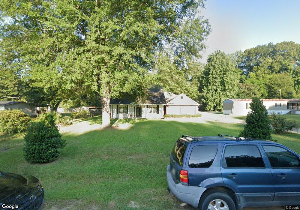
12 Terry Rd Natchez, MS 39120
Estimated Value: $231,000 - $444,000
Studio
--
Bath
3,118
Sq Ft
$112/Sq Ft
Est. Value
About This Home
This home is located at 12 Terry Rd, Natchez, MS 39120 and is currently estimated at $349,536, approximately $112 per square foot. 12 Terry Rd is a home with nearby schools including McLaurin Elementary School, Susie B. West Primary School, and Joseph L. Frazier Primary School.
Ownership History
Date
Name
Owned For
Owner Type
Purchase Details
Closed on
Dec 15, 2009
Sold by
Bryant Dorothy
Bought by
Poverty And Destruction Plantation Llc
Current Estimated Value
Purchase Details
Closed on
Jun 29, 2009
Sold by
Garcia and Garcia Roy J
Bought by
Wills Molly F
Purchase Details
Closed on
Dec 4, 2008
Sold by
Green P and Green Glenn
Bought by
Moore Clem and Moore Margie L
Purchase Details
Closed on
Jan 25, 2008
Sold by
Tipton
Bought by
Tipton Dr and St. John I, Llc
Create a Home Valuation Report for This Property
The Home Valuation Report is an in-depth analysis detailing your home's value as well as a comparison with similar homes in the area
Purchase History
| Date | Buyer | Sale Price | Title Company |
|---|---|---|---|
| Poverty And Destruction Plantation Llc | -- | -- | |
| Wills Molly F | -- | -- | |
| Moore Clem | -- | -- | |
| Tipton Dr | -- | -- |
Source: Public Records
Tax History
| Year | Tax Paid | Tax Assessment Tax Assessment Total Assessment is a certain percentage of the fair market value that is determined by local assessors to be the total taxable value of land and additions on the property. | Land | Improvement |
|---|---|---|---|---|
| 2025 | $1,595 | $29,193 | $0 | $0 |
| 2024 | $1,595 | $22,714 | $0 | $0 |
| 2023 | $1,652 | $21,599 | $1,000 | $20,599 |
| 2022 | $1,521 | $21,599 | $0 | $0 |
| 2021 | $1,516 | $21,599 | $0 | $0 |
| 2019 | $2,097 | $20,522 | $0 | $0 |
| 2018 | $2,083 | $20,522 | $0 | $0 |
| 2017 | $2,106 | $20,522 | $0 | $0 |
| 2016 | $2,113 | $20,335 | $0 | $0 |
| 2015 | $2,069 | $20,335 | $0 | $0 |
| 2014 | $2,069 | $20,335 | $0 | $0 |
Source: Public Records
Map
Nearby Homes
- 0 Triplett Dr
- 8 Newman Rd
- 0 Enterprise Dr
- 802 Morgan Ave
- 114 Mount Carmel Dr
- 405 Oakland Dr
- 723 Morgan Ave
- 100 Brookfield Dr
- 108 Dixie Dr
- 116 Oak Hill Dr
- 2152 Second St
- 00 Bluff Hills Place
- 401 Brooklyn Dr
- 305 Cottage Dr
- 1235 Magnolia Ave
- 110 Cottage Dr
- 1233 Horseshoe Dr
- 0 Hwy 61 and Hwy 84 Unit 4097219
- 00032 S Broadmoor
- 50 Hedges Plantation Place
Your Personal Tour Guide
Ask me questions while you tour the home.