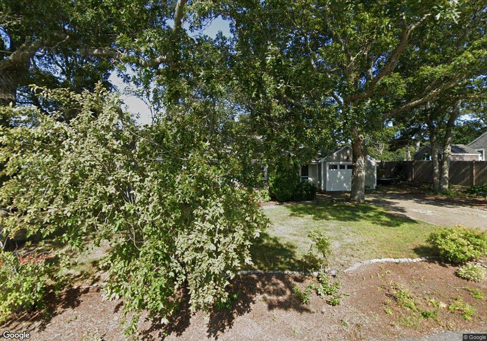
12 Terry Rd West Dennis, MA 02670
West Dennis NeighborhoodEstimated Value: $581,200 - $673,000
3
Beds
1
Bath
1,012
Sq Ft
$616/Sq Ft
Est. Value
About This Home
This home is located at 12 Terry Rd, West Dennis, MA 02670 and is currently estimated at $623,050, approximately $615 per square foot. 12 Terry Rd is a home located in Barnstable County with nearby schools including Dennis-Yarmouth Regional High School and St. Pius X. School.
Ownership History
Date
Name
Owned For
Owner Type
Purchase Details
Closed on
Mar 6, 2018
Sold by
Kerr-Newlon Joan
Bought by
Newlon Rt
Current Estimated Value
Purchase Details
Closed on
Mar 25, 2013
Sold by
Newlon Joan K and Newlon John C
Bought by
Newlon Joan K
Purchase Details
Closed on
Aug 31, 1995
Sold by
Wheeler Katherine
Bought by
Newlon John C and Newlon Joan Kerr
Home Financials for this Owner
Home Financials are based on the most recent Mortgage that was taken out on this home.
Original Mortgage
$72,000
Interest Rate
7.61%
Mortgage Type
Purchase Money Mortgage
Create a Home Valuation Report for This Property
The Home Valuation Report is an in-depth analysis detailing your home's value as well as a comparison with similar homes in the area
Home Values in the Area
Average Home Value in this Area
Purchase History
| Date | Buyer | Sale Price | Title Company |
|---|---|---|---|
| Newlon Rt | -- | -- | |
| Newlon Joan K | -- | -- | |
| Newlon John C | $90,000 | -- |
Source: Public Records
Mortgage History
| Date | Status | Borrower | Loan Amount |
|---|---|---|---|
| Previous Owner | Newlon John C | $72,000 |
Source: Public Records
Tax History Compared to Growth
Tax History
| Year | Tax Paid | Tax Assessment Tax Assessment Total Assessment is a certain percentage of the fair market value that is determined by local assessors to be the total taxable value of land and additions on the property. | Land | Improvement |
|---|---|---|---|---|
| 2025 | $2,223 | $513,500 | $220,400 | $293,100 |
| 2024 | $2,098 | $477,800 | $211,900 | $265,900 |
| 2023 | $2,029 | $434,500 | $192,700 | $241,800 |
| 2022 | $1,852 | $330,800 | $150,400 | $180,400 |
| 2021 | $1,788 | $296,500 | $147,500 | $149,000 |
| 2020 | $1,793 | $294,000 | $158,800 | $135,200 |
| 2019 | $1,791 | $290,200 | $166,800 | $123,400 |
| 2018 | $1,641 | $258,900 | $148,200 | $110,700 |
| 2017 | $1,570 | $255,300 | $148,200 | $107,100 |
| 2016 | $1,586 | $242,900 | $153,500 | $89,400 |
| 2015 | $1,555 | $242,900 | $153,500 | $89,400 |
| 2014 | $1,542 | $242,900 | $153,500 | $89,400 |
Source: Public Records
Map
Nearby Homes
- 61 Trotters Ln
- 15 Woodside Park Rd
- 467 Main St
- 401 Main St Unit 201
- 401 Main St Unit 101
- 12 Spoonbill Rd
- 3 Pinefield Ln
- 26 Center St
- 80 Michaels Ave
- 178 School St
- 23 Doric Ave
- 95 Center St
- 6 Baker Way
- 71 Main St
- 19 Standish Way
- 209 Main St Unit 3
- 209 Main St Unit 6
- 209 Main St Unit 1
- 209 Main St Unit 2
- 209 Main St Unit 4