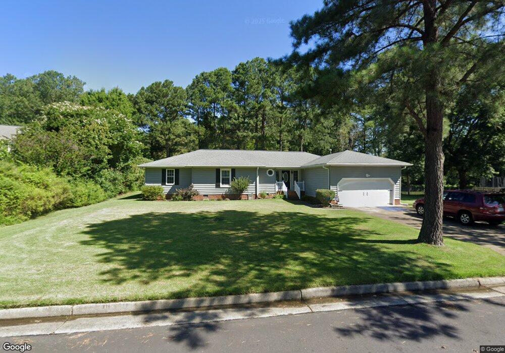
12 Thomas Dr Poquoson, VA 23662
Poquoson West NeighborhoodEstimated Value: $404,000 - $434,000
3
Beds
3
Baths
1,620
Sq Ft
$258/Sq Ft
Est. Value
About This Home
This home is located at 12 Thomas Dr, Poquoson, VA 23662 and is currently estimated at $417,447, approximately $257 per square foot. 12 Thomas Dr is a home located in Poquoson City with nearby schools including Emmanuel Lutheran School and Summit Christian Academy - Upper School.
Ownership History
Date
Name
Owned For
Owner Type
Purchase Details
Closed on
Oct 14, 2002
Sold by
Mastaler Michael D
Bought by
Doty Thomas P
Current Estimated Value
Home Financials for this Owner
Home Financials are based on the most recent Mortgage that was taken out on this home.
Original Mortgage
$139,900
Outstanding Balance
$58,185
Interest Rate
6.18%
Estimated Equity
$359,262
Create a Home Valuation Report for This Property
The Home Valuation Report is an in-depth analysis detailing your home's value as well as a comparison with similar homes in the area
Home Values in the Area
Average Home Value in this Area
Purchase History
| Date | Buyer | Sale Price | Title Company |
|---|---|---|---|
| Doty Thomas P | $176,000 | -- |
Source: Public Records
Mortgage History
| Date | Status | Borrower | Loan Amount |
|---|---|---|---|
| Open | Doty Thomas P | $139,900 |
Source: Public Records
Tax History
| Year | Tax Paid | Tax Assessment Tax Assessment Total Assessment is a certain percentage of the fair market value that is determined by local assessors to be the total taxable value of land and additions on the property. | Land | Improvement |
|---|---|---|---|---|
| 2025 | $4,463 | $391,500 | $166,200 | $225,300 |
| 2024 | $3,657 | $320,800 | $95,500 | $225,300 |
| 2023 | $3,561 | $320,800 | $95,500 | $225,300 |
| 2022 | $3,416 | $302,300 | $95,500 | $206,800 |
| 2021 | $3,416 | $302,300 | $95,500 | $206,800 |
| 2020 | $0 | $277,800 | $95,500 | $182,300 |
| 2019 | -- | $277,800 | $95,500 | $182,300 |
| 2018 | -- | $277,800 | $95,500 | $182,300 |
| 2017 | -- | $271,600 | $95,500 | $176,100 |
| 2016 | -- | $271,600 | $95,500 | $176,100 |
| 2015 | -- | $254,600 | $95,500 | $159,100 |
| 2013 | -- | $254,600 | $95,500 | $159,100 |
Source: Public Records
Map
Nearby Homes
- 5 Quail Cove
- 7 Quail Cove
- 1020 Poquoson Ave Unit C
- 9 Rhodelia Ln
- 7 Freeman Dr
- 8.5AC Poquoson Ave
- 5 Dove Point Trail
- 812 Poquoson Ave
- 8 Martha Ct
- 216 Little Florida Rd
- 50 Bunting Ln
- 10 Canal Dr
- 6 Canal Dr
- 197 Cedar Rd
- 21 Rens Rd
- 58 N Lawson Rd
- 54 N Lawson Rd
- 50 N Lawson Rd
- 15 Windy Point Dr
- 9 Terrace Dr
Your Personal Tour Guide
Ask me questions while you tour the home.