12 Thompson Cir Lynn, MA 01902
Fayette Street NeighborhoodEstimated Value: $526,253 - $650,000
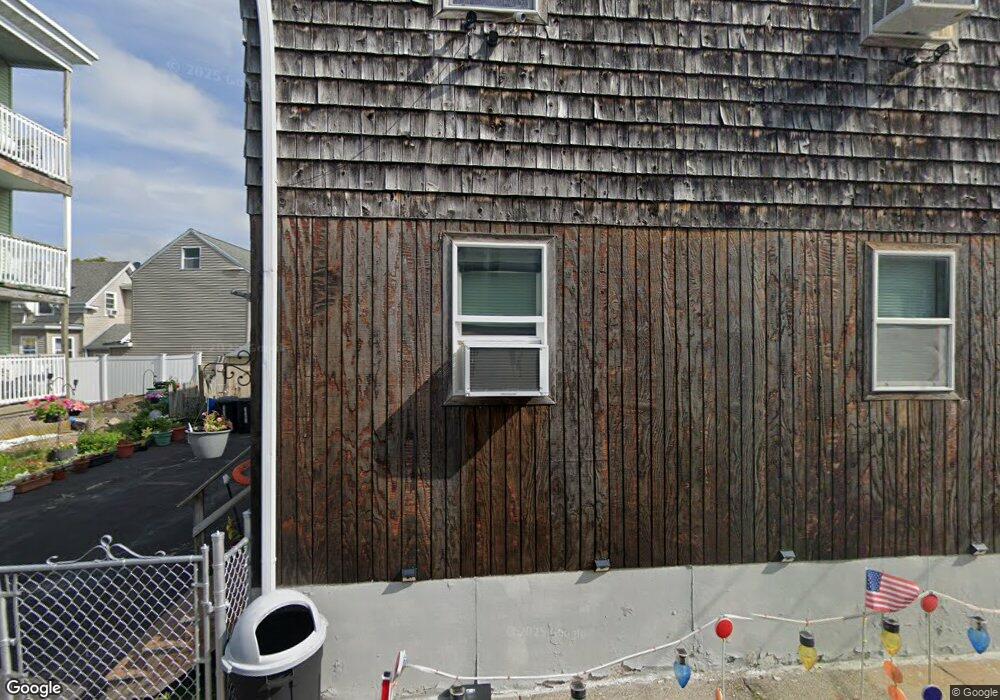
About This Home
This home is located at 12 Thompson Cir, Lynn, MA 01902 and is currently estimated at $565,813, approximately $295 per square foot. 12 Thompson Cir is a home located in Essex County with nearby schools including Brickett Elementary School, William R. Fallon School, and Marshall Middle School.
Ownership History
We collect this data history from publicly available records. To have your information removed, we recommend requesting removal directly through your county’s website.
Purchase Details
Home Values in the Area
Average Home Value in this Area
Purchase History
We collect this data history from publicly available records. To have your information removed, we recommend requesting removal directly through your county’s website.
| Date | Buyer | Sale Price | Title Company |
|---|---|---|---|
| -- | -- |
Mortgage History
We collect this data history from publicly available records. To have your information removed, we recommend requesting removal directly through your county’s website.
| Date | Status | Borrower | Loan Amount |
|---|---|---|---|
| Open | $150,000 | ||
| Closed | $25,000 | ||
| Closed | $56,000 | ||
| Closed | $30,000 |
Tax History
We collect this data history from publicly available records. To have your information removed, we recommend requesting removal directly through your county’s website.
| Year | Tax Paid | Tax Assessment Tax Assessment Total Assessment is a certain percentage of the fair market value that is determined by local assessors to be the total taxable value of land and additions on the property. | Land | Improvement |
|---|---|---|---|---|
| 2025 | $5,053 | $487,700 | $179,400 | $308,300 |
| 2024 | $4,842 | $459,800 | $171,600 | $288,200 |
| 2023 | $4,842 | $434,300 | $183,500 | $250,800 |
| 2022 | $4,635 | $372,900 | $150,400 | $222,500 |
| 2021 | $4,224 | $324,200 | $117,400 | $206,800 |
| 2020 | $4,157 | $310,200 | $120,700 | $189,500 |
| 2019 | $3,874 | $270,900 | $93,200 | $177,700 |
| 2018 | $3,807 | $251,300 | $104,700 | $146,600 |
| 2017 | $3,596 | $230,500 | $92,000 | $138,500 |
| 2016 | $3,168 | $195,800 | $76,800 | $119,000 |
| 2015 | $3,017 | $180,100 | $77,200 | $102,900 |
Map
- 8 Chestnut St
- 4 Broad St
- 24 Cherry St
- 77-79 Chestnut St
- 145 Lewis St
- 13 Portland St Unit 4
- 10-16 Stephen St Unit 5
- 51 Cherry St Unit 1
- 20 Nahant Place Unit 307
- 87 Broad St Unit 3
- 54 Nahant St Unit 54R
- 16 Grosvenor Park
- 16 Crescent St
- 66 Baltimore St Unit 66
- 13 Nahant St Unit 2C
- 13 Nahant St Unit 2B
- 66 Lewis St
- 49 Atlantic Terrace
- 12-16 Landon Cir Unit 3
- 23 Wolcott Rd
- 14 Thompson Cir
- 18 Thompson Cir
- 15 Thompson Cir
- 203 Lewis St
- 203 Lewis St Unit 2
- 9 Thompson Cir Unit 2
- 9 Thompson Cir
- 9 Thompson Cir Unit 1
- 16 Thompson Cir
- 11 Pattys Way Unit 5
- 11 Pattys Way Unit 2
- 11 Pattys Way
- 205 Lewis St
- 7 Thompson Cir
- 23 Chestnut St Unit 3
- 23 Chestnut St Unit 2
- 23 Chestnut St Unit 1
- 29 Chestnut St
- 29 Chestnut St Unit 1
- 17 Chestnut St
Ask me questions while you tour the home.