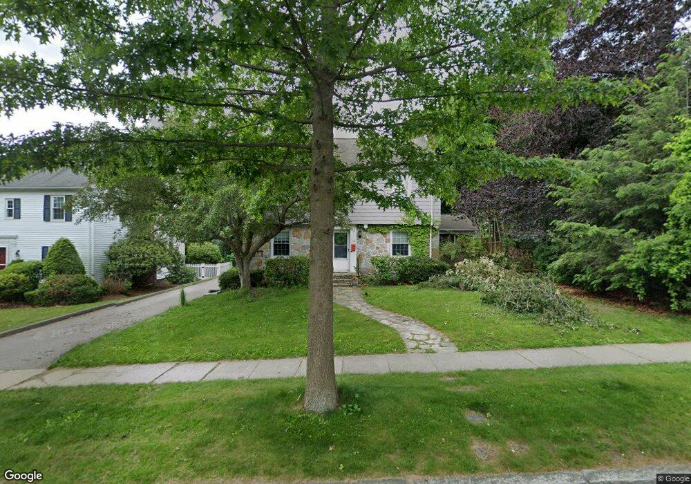
12 Thorndyke Rd Worcester, MA 01606
Burncoat NeighborhoodEstimated Value: $506,000 - $591,000
5
Beds
3
Baths
1,854
Sq Ft
$297/Sq Ft
Est. Value
About This Home
This home is located at 12 Thorndyke Rd, Worcester, MA 01606 and is currently estimated at $551,059, approximately $297 per square foot. 12 Thorndyke Rd is a home located in Worcester County with nearby schools including Jacob Hiatt Magnet School, Chandler Magnet, and Thorndyke Road School.
Ownership History
Date
Name
Owned For
Owner Type
Purchase Details
Closed on
Nov 28, 2011
Sold by
Wesley United Methodis and Spencer Harry I
Bought by
Bratchell Jennifer
Current Estimated Value
Home Financials for this Owner
Home Financials are based on the most recent Mortgage that was taken out on this home.
Original Mortgage
$240,738
Outstanding Balance
$165,548
Interest Rate
4.12%
Mortgage Type
FHA
Estimated Equity
$385,511
Create a Home Valuation Report for This Property
The Home Valuation Report is an in-depth analysis detailing your home's value as well as a comparison with similar homes in the area
Home Values in the Area
Average Home Value in this Area
Purchase History
| Date | Buyer | Sale Price | Title Company |
|---|---|---|---|
| Bratchell Jennifer | $247,000 | -- | |
| Bratchell Jennifer | $247,000 | -- |
Source: Public Records
Mortgage History
| Date | Status | Borrower | Loan Amount |
|---|---|---|---|
| Open | Bratchell Jennifer | $240,738 | |
| Closed | Bratchell Jennifer | $240,738 |
Source: Public Records
Tax History Compared to Growth
Tax History
| Year | Tax Paid | Tax Assessment Tax Assessment Total Assessment is a certain percentage of the fair market value that is determined by local assessors to be the total taxable value of land and additions on the property. | Land | Improvement |
|---|---|---|---|---|
| 2025 | $6,071 | $460,300 | $118,900 | $341,400 |
| 2024 | $5,946 | $432,400 | $118,900 | $313,500 |
| 2023 | $5,727 | $399,400 | $103,400 | $296,000 |
| 2022 | $5,308 | $349,000 | $82,700 | $266,300 |
| 2021 | $5,327 | $327,200 | $66,200 | $261,000 |
| 2020 | $5,161 | $303,600 | $66,200 | $237,400 |
| 2019 | $4,984 | $276,900 | $59,700 | $217,200 |
| 2018 | $4,947 | $261,600 | $59,700 | $201,900 |
| 2017 | $4,757 | $247,500 | $59,700 | $187,800 |
| 2016 | $4,520 | $219,300 | $44,200 | $175,100 |
| 2015 | $4,401 | $219,300 | $44,200 | $175,100 |
| 2014 | $4,285 | $219,300 | $44,200 | $175,100 |
Source: Public Records
Map
Nearby Homes
- 120 Bay State Rd
- 113 Bay State Rd
- 14 Mary Ann Dr
- 3 Granville Ave
- 134 Whitmarsh Ave
- 48 Wilkinson St
- 314 Burncoat St
- 18 Claffey Ave
- 23 Viele Ave
- 8 Cherry Blossom Cir Unit 50
- 80 Clark St
- 15 Ericsson St
- 34 King Philip Rd
- 2206 Halcyon Dr Unit 2206
- 276 Saint Nicholas Ave
- 304 Saint Nicholas Ave
- 40 Francis St
- 14 Housatonic St
- 43 Fales St
- 37 Kenwood Ave
- 16 Thorndyke Rd
- 20 Thorndyke Rd
- 18 Lyndale Rd
- 16 Lyndale Rd
- 15 Thorndyke Rd
- 11 Thorndyke Rd
- 17 Thorndyke Rd
- 221 Burncoat St
- 3 Thorndyke Rd
- 21 Thorndyke Rd
- 237 Burncoat St
- 10 Monterey Rd
- 8 Monterey Rd
- 14 Lyndale Rd
- 12 Monterey Rd
- 6 Monterey Rd
- 15 Lyndale Rd
- 29 Thorndyke Rd
- 4 Monterey Rd
- 22 Monterey Rd