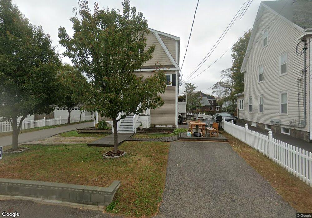
12 Trafford St Unit C Quincy, MA 02169
South Quincy NeighborhoodEstimated Value: $645,000 - $874,000
3
Beds
3
Baths
2,100
Sq Ft
$346/Sq Ft
Est. Value
About This Home
This home is located at 12 Trafford St Unit C, Quincy, MA 02169 and is currently estimated at $726,428, approximately $345 per square foot. 12 Trafford St Unit C is a home located in Norfolk County with nearby schools including South West Middle School, Lincoln-Hancock Community School, and Quincy High School.
Ownership History
Date
Name
Owned For
Owner Type
Purchase Details
Closed on
Jan 14, 2010
Sold by
Desquitado M
Bought by
Federal National Mortgage Association
Current Estimated Value
Purchase Details
Closed on
Sep 26, 2006
Sold by
Grehan Michael K
Bought by
Desquitado Filmore R and Desquitado Merry C
Home Financials for this Owner
Home Financials are based on the most recent Mortgage that was taken out on this home.
Original Mortgage
$343,920
Interest Rate
6.59%
Mortgage Type
Purchase Money Mortgage
Create a Home Valuation Report for This Property
The Home Valuation Report is an in-depth analysis detailing your home's value as well as a comparison with similar homes in the area
Home Values in the Area
Average Home Value in this Area
Purchase History
| Date | Buyer | Sale Price | Title Company |
|---|---|---|---|
| Federal National Mortgage Association | $375,509 | -- | |
| Desquitado Filmore R | $429,900 | -- |
Source: Public Records
Mortgage History
| Date | Status | Borrower | Loan Amount |
|---|---|---|---|
| Previous Owner | Desquitado Filmore R | $343,920 |
Source: Public Records
Tax History
| Year | Tax Paid | Tax Assessment Tax Assessment Total Assessment is a certain percentage of the fair market value that is determined by local assessors to be the total taxable value of land and additions on the property. | Land | Improvement |
|---|---|---|---|---|
| 2025 | $6,927 | $600,800 | $0 | $600,800 |
| 2024 | $6,464 | $573,600 | $0 | $573,600 |
| 2023 | $5,976 | $536,900 | $0 | $536,900 |
| 2022 | $5,991 | $500,100 | $0 | $500,100 |
| 2021 | $5,797 | $477,500 | $0 | $477,500 |
| 2020 | $5,639 | $453,700 | $0 | $453,700 |
| 2019 | $5,466 | $435,500 | $0 | $435,500 |
| 2018 | $5,385 | $403,700 | $0 | $403,700 |
| 2017 | $5,376 | $379,400 | $0 | $379,400 |
| 2016 | $5,277 | $367,500 | $0 | $367,500 |
| 2015 | $5,253 | $359,800 | $0 | $359,800 |
| 2014 | $4,978 | $335,000 | $0 | $335,000 |
Source: Public Records
Map
Nearby Homes
- 347 Centre St
- 8 Jackson St Unit B4
- 36 Independence Ave Unit 1
- 21 Totman St Unit 308
- 21 Totman St Unit 205
- 21 Totman St Unit 404
- 21 Totman St Unit 309
- 21 Totman St Unit 203
- 21 Totman St Unit PH-406
- 21 Totman St Unit 408
- 21 Totman St Unit 301
- 21 Totman St Unit PH-405
- 21 Totman St Unit 207
- 21 Totman St Unit 407
- 28 Brook Rd
- 87 Franklin St Unit 105
- 177 Franklin St
- 51 Branch St Unit 2
- 50 N Payne St Unit 1
- 50 N Payne St Unit 4
- 12 Trafford St Unit B
- 12 Trafford St Unit A
- 12 Trafford St
- 12 Trafford St Unit 3
- 12 Trafford St Unit 1
- 12 Trafford St Unit 2
- 12 Trafford St Unit 2B
- 18 Trafford St
- 20 Trafford St Unit 2
- 20 Trafford St Unit 3
- 20 Trafford St
- 8 Trafford St Unit 1
- 8 Trafford St
- 8 Trafford St Unit 4-bed 2-bath Quincy
- 8 Trafford St
- 8 Trafford St Unit 2
- 22 Trafford St Unit 3
- 22 Trafford St Unit 1
- 22 Trafford St
- 143 Liberty St
Your Personal Tour Guide
Ask me questions while you tour the home.