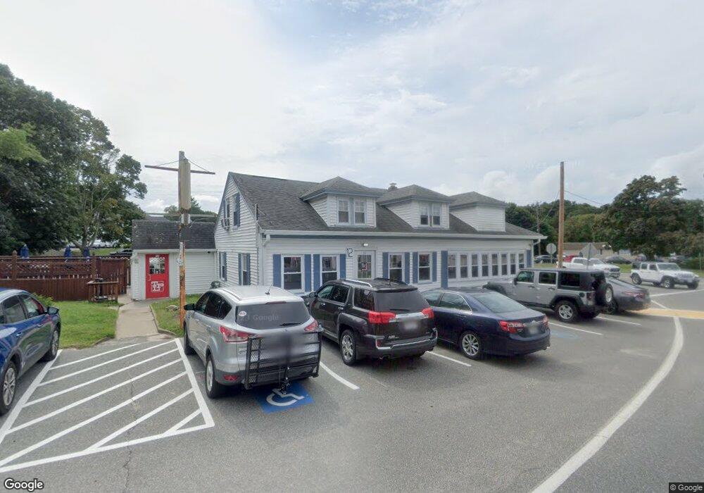
12 Trowbridge Rd Bourne, MA 2532
Estimated Value: $718,785
Studio
--
Bath
4,041
Sq Ft
$178/Sq Ft
Est. Value
About This Home
This home is located at 12 Trowbridge Rd, Bourne, MA 2532 and is currently estimated at $718,785, approximately $177 per square foot. 12 Trowbridge Rd is a home located in Barnstable County with nearby schools including Bourne High School, St Margaret Regional School, and Cadence Academy Preschool - Bourne.
Ownership History
Date
Name
Owned For
Owner Type
Purchase Details
Closed on
Jul 14, 2021
Sold by
Leitzel Kristine M
Bought by
Dpd Trowbridge Road Llc
Current Estimated Value
Home Financials for this Owner
Home Financials are based on the most recent Mortgage that was taken out on this home.
Original Mortgage
$423,750
Outstanding Balance
$382,816
Interest Rate
2.9%
Mortgage Type
New Conventional
Estimated Equity
$335,969
Purchase Details
Closed on
Jun 12, 2002
Sold by
Burgess James E and Burgess Walter W
Bought by
Fox Kristine M
Home Financials for this Owner
Home Financials are based on the most recent Mortgage that was taken out on this home.
Original Mortgage
$136,500
Interest Rate
6.8%
Mortgage Type
Commercial
Create a Home Valuation Report for This Property
The Home Valuation Report is an in-depth analysis detailing your home's value as well as a comparison with similar homes in the area
Purchase History
| Date | Buyer | Sale Price | Title Company |
|---|---|---|---|
| Dpd Trowbridge Road Llc | $550,000 | None Available | |
| Dpd Trowbridge Road Llc | $550,000 | None Available | |
| Dpd Trowbridge Road Llc | $550,000 | None Available | |
| Fox Kristine M | $210,000 | -- | |
| Fox Kristine M | $210,000 | -- |
Source: Public Records
Mortgage History
| Date | Status | Borrower | Loan Amount |
|---|---|---|---|
| Open | Dpd Trowbridge Road Llc | $423,750 | |
| Closed | Dpd Trowbridge Road Llc | $423,750 | |
| Previous Owner | Fox Kristine M | $136,500 |
Source: Public Records
Tax History
| Year | Tax Paid | Tax Assessment Tax Assessment Total Assessment is a certain percentage of the fair market value that is determined by local assessors to be the total taxable value of land and additions on the property. | Land | Improvement |
|---|---|---|---|---|
| 2025 | $4,730 | $605,600 | $381,000 | $224,600 |
| 2024 | $4,385 | $546,700 | $362,800 | $183,900 |
| 2023 | $4,732 | $537,100 | $348,900 | $188,200 |
| 2022 | $4,992 | $494,700 | $328,000 | $166,700 |
| 2021 | $5,195 | $482,400 | $318,500 | $163,900 |
| 2020 | $5,088 | $473,700 | $312,300 | $161,400 |
| 2019 | $4,858 | $462,200 | $306,100 | $156,100 |
| 2018 | $4,670 | $443,100 | $294,300 | $148,800 |
| 2017 | $4,513 | $438,200 | $291,400 | $146,800 |
| 2016 | $4,452 | $438,200 | $291,400 | $146,800 |
| 2015 | $4,413 | $438,200 | $291,400 | $146,800 |
Source: Public Records
Map
Nearby Homes
- 44 Cotuit Rd
- 60 Sandwich Rd
- 5 Zoli Ln
- 10 Sandy Ln
- 38 Old Bridge Rd
- 3 Honora Ln Unit 3
- 6 Honora Ct
- 13 Laurel Hill Ct
- 5 Sea Knoll Ct
- 46 Holt Rd Unit B
- 46 Holt Rd
- 304 Main St
- 4 Hollyhock Knoll Ct Unit 4
- 4 Hollyhock Knoll Ct Unit 4
- 12 Turnberry Rd Unit 12
- 203 County Rd
- 58 Maple St
- 16 Amberwood Ct
- 40-A Lafayette Ave
- 60 Bourne Neck Dr
- 18 Trowbridge Rd
- 18 Trowbridge Rd
- 18 Trowbridge Rd Unit 1 & 2
- 21 Waterhouse Rd
- 21 Waterhouse Rd
- 15 Trowbridge Rd
- 8 Waterhouse Rd
- 15 Trowbridge Rd
- 16 Waterhouse Rd
- 17 Trowbridge Rd
- 17 Trowbridge Rd
- 23 Waterhouse Rd
- 24 Trowbridge Rd
- 24 Trowbridge Rd
- 11 Trowbridge Rd
- 1 Trowbridge Rd Unit 2-4
- 1 Trowbridge Rd Unit 2-2
- 1 Trowbridge Rd Unit 2-3
- 1 Trowbridge Rd
- 23 Waterhouse Rd
Your Personal Tour Guide
Ask me questions while you tour the home.