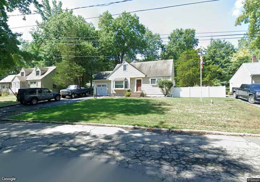
12 Tuscan Rd Livingston, NJ 07039
Estimated Value: $831,000 - $1,047,000
--
Bed
--
Bath
1,312
Sq Ft
$698/Sq Ft
Est. Value
About This Home
This home is located at 12 Tuscan Rd, Livingston, NJ 07039 and is currently estimated at $915,413, approximately $697 per square foot. 12 Tuscan Rd is a home located in Essex County with nearby schools including Livingston Sr High School and Aquinas Academy.
Ownership History
Date
Name
Owned For
Owner Type
Purchase Details
Closed on
Apr 3, 1998
Sold by
Taylor Frank D
Bought by
Taylor Michael J and Capron Mary
Current Estimated Value
Home Financials for this Owner
Home Financials are based on the most recent Mortgage that was taken out on this home.
Original Mortgage
$168,000
Outstanding Balance
$31,752
Interest Rate
7.05%
Estimated Equity
$883,661
Purchase Details
Closed on
Aug 22, 1994
Sold by
Mysko William
Bought by
Taylor Frank and Taylor Patricia
Home Financials for this Owner
Home Financials are based on the most recent Mortgage that was taken out on this home.
Original Mortgage
$130,000
Interest Rate
8.65%
Create a Home Valuation Report for This Property
The Home Valuation Report is an in-depth analysis detailing your home's value as well as a comparison with similar homes in the area
Home Values in the Area
Average Home Value in this Area
Purchase History
| Date | Buyer | Sale Price | Title Company |
|---|---|---|---|
| Taylor Michael J | $210,000 | -- | |
| Taylor Frank | $180,000 | -- |
Source: Public Records
Mortgage History
| Date | Status | Borrower | Loan Amount |
|---|---|---|---|
| Open | Taylor Michael J | $168,000 | |
| Previous Owner | Taylor Frank | $130,000 |
Source: Public Records
Tax History Compared to Growth
Tax History
| Year | Tax Paid | Tax Assessment Tax Assessment Total Assessment is a certain percentage of the fair market value that is determined by local assessors to be the total taxable value of land and additions on the property. | Land | Improvement |
|---|---|---|---|---|
| 2025 | $11,312 | $476,900 | $319,700 | $157,200 |
| 2024 | $11,312 | $476,900 | $319,700 | $157,200 |
| 2022 | $11,126 | $476,900 | $319,700 | $157,200 |
| 2021 | $11,035 | $476,900 | $319,700 | $157,200 |
| 2020 | $10,830 | $476,900 | $319,700 | $157,200 |
| 2019 | $10,592 | $404,900 | $279,700 | $125,200 |
| 2018 | $10,450 | $404,900 | $279,700 | $125,200 |
| 2017 | $10,313 | $404,900 | $279,700 | $125,200 |
| 2016 | $10,123 | $404,900 | $279,700 | $125,200 |
| 2015 | $9,973 | $404,900 | $279,700 | $125,200 |
| 2014 | $9,649 | $404,900 | $279,700 | $125,200 |
Source: Public Records
Map
Nearby Homes
- 94 W Cedar St
- 76 S Ashby Ave
- 74 Hillside Terrace
- 79 Irving Ave
- 30 Grand Terrace
- 96 Belmont Dr
- 15 Highland Dr
- 36 Wilson Terrace
- 21 Highland Dr
- 35 Amelia Ave
- 10 Berkeley Terrace
- 23 Carlisle Dr
- 13 Beverly Rd
- 224 W Mount Pleasant Ave
- 76 N Ashby Ave
- 11 Beresford Ln
- 63 N Livingston Ave
- 44 Lincoln Ave
- 18 Claremont Ave
- 27 Mounthaven Dr