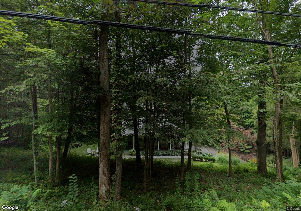
12 Tuttle Rd Woodbury, CT 06798
Estimated Value: $619,000 - $906,000
3
Beds
4
Baths
2,363
Sq Ft
$304/Sq Ft
Est. Value
About This Home
This home is located at 12 Tuttle Rd, Woodbury, CT 06798 and is currently estimated at $718,101, approximately $303 per square foot. 12 Tuttle Rd is a home located in Litchfield County with nearby schools including Mitchell Elementary School, Bethlehem Elementary School, and Woodbury Middle School.
Ownership History
Date
Name
Owned For
Owner Type
Purchase Details
Closed on
Jul 26, 2000
Sold by
Raducchio Dino and Raducchio Susan
Bought by
Cunningham Michael and Cunningham Carol
Current Estimated Value
Home Financials for this Owner
Home Financials are based on the most recent Mortgage that was taken out on this home.
Original Mortgage
$170,000
Interest Rate
8.18%
Create a Home Valuation Report for This Property
The Home Valuation Report is an in-depth analysis detailing your home's value as well as a comparison with similar homes in the area
Home Values in the Area
Average Home Value in this Area
Purchase History
| Date | Buyer | Sale Price | Title Company |
|---|---|---|---|
| Cunningham Michael | $245,000 | -- |
Source: Public Records
Mortgage History
| Date | Status | Borrower | Loan Amount |
|---|---|---|---|
| Open | Cunningham Michael | $245,000 | |
| Closed | Cunningham Michael | $234,000 | |
| Closed | Cunningham Michael | $173,000 | |
| Closed | Cunningham Michael | $170,000 |
Source: Public Records
Tax History Compared to Growth
Tax History
| Year | Tax Paid | Tax Assessment Tax Assessment Total Assessment is a certain percentage of the fair market value that is determined by local assessors to be the total taxable value of land and additions on the property. | Land | Improvement |
|---|---|---|---|---|
| 2025 | $8,434 | $357,070 | $69,440 | $287,630 |
| 2024 | $8,273 | $357,070 | $69,440 | $287,630 |
| 2023 | $7,629 | $262,520 | $69,440 | $193,080 |
| 2022 | $7,658 | $262,520 | $69,440 | $193,080 |
| 2021 | $7,658 | $262,520 | $69,440 | $193,080 |
| 2020 | $7,658 | $262,520 | $69,440 | $193,080 |
| 2019 | $7,658 | $262,520 | $69,440 | $193,080 |
| 2018 | $7,847 | $295,220 | $77,830 | $217,390 |
| 2017 | $8,018 | $295,220 | $77,830 | $217,390 |
| 2016 | $7,761 | $295,220 | $77,830 | $217,390 |
| 2015 | $7,696 | $295,220 | $77,830 | $217,390 |
| 2014 | $7,584 | $295,220 | $77,830 | $217,390 |
Source: Public Records
Map
Nearby Homes
- 145 Cat Swamp Rd
- 27 Scratchville Rd
- 6 Strong Field Rd
- 212 Main St N
- 229 Bacon Pond Rd Unit 332
- 229 Bacon Pond Rd Unit 113
- 229 Bacon Pond Rd Unit 322
- 105 Minortown Rd
- 00-1055 Main St N
- 54 Mountain Rd
- 12 Spring St
- 36 Heritage Dr
- 14 Mountain Rd
- 18 Woodbury Hill
- 31 Woodbury Hill
- 393 Middle Road Turnpike
- 509 Main St N
- 523 Main St N
- 337 Main St S
- 2 Linden Rd
- 152 White Deer Rocks Rd
- 30 Tuttle Rd
- 4 Tuttle Rd
- 27 Tuttle Rd
- 148 White Deer Rocks Rd
- F7155 Tuttle Rd
- 0 Tuttle Rd
- 21 Sanford Rd
- 167 White Deer Rocks Rd
- 141 White Deer Rocks Rd
- 187 White Deer Rocks Rd
- 187 White Deer Rock Rd
- 16 Sanford Rd
- 134 White Deer Rocks Rd
- 33 Sanford Rd
- 33 Tuttle Rd
- 11 Cat Swamp Rd
- 36 Tuttle Rd
- 149 White Deer Rocks Rd
- 133 White Deer Rocks Rd