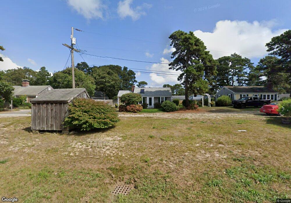
12 Uncle Ezras Path Dennis Port, MA 02639
Dennis Port NeighborhoodEstimated Value: $427,000 - $565,000
2
Beds
1
Bath
650
Sq Ft
$773/Sq Ft
Est. Value
About This Home
This home is located at 12 Uncle Ezras Path, Dennis Port, MA 02639 and is currently estimated at $502,561, approximately $773 per square foot. 12 Uncle Ezras Path is a home located in Barnstable County with nearby schools including Dennis-Yarmouth Regional High School and St. Pius X. School.
Ownership History
Date
Name
Owned For
Owner Type
Purchase Details
Closed on
Feb 1, 2017
Sold by
Cormier Kevin J and Kiley-Cormier Kathleen
Bought by
12 Uncle Ezras Path Rt
Current Estimated Value
Purchase Details
Closed on
Nov 29, 2011
Sold by
Cormier Kevin J
Bought by
Cormier Kevin J and Kiley Kathleen M
Home Financials for this Owner
Home Financials are based on the most recent Mortgage that was taken out on this home.
Original Mortgage
$156,000
Interest Rate
4.12%
Purchase Details
Closed on
Feb 17, 1998
Sold by
Robertson J Edward and Robertson Madeline K
Bought by
Cormier Kevin J
Home Financials for this Owner
Home Financials are based on the most recent Mortgage that was taken out on this home.
Original Mortgage
$60,000
Interest Rate
6.95%
Mortgage Type
Purchase Money Mortgage
Purchase Details
Closed on
Jul 7, 1992
Sold by
Mahan Donna
Bought by
Mahan John F
Create a Home Valuation Report for This Property
The Home Valuation Report is an in-depth analysis detailing your home's value as well as a comparison with similar homes in the area
Home Values in the Area
Average Home Value in this Area
Purchase History
| Date | Buyer | Sale Price | Title Company |
|---|---|---|---|
| 12 Uncle Ezras Path Rt | -- | -- | |
| Cormier Kevin J | -- | -- | |
| Cormier Kevin J | $78,000 | -- | |
| Mahan John F | $10,000 | -- |
Source: Public Records
Mortgage History
| Date | Status | Borrower | Loan Amount |
|---|---|---|---|
| Previous Owner | Cormier Kevin J | $156,000 | |
| Previous Owner | Mahan John F | $53,000 | |
| Previous Owner | Mahan John F | $60,000 |
Source: Public Records
Tax History Compared to Growth
Tax History
| Year | Tax Paid | Tax Assessment Tax Assessment Total Assessment is a certain percentage of the fair market value that is determined by local assessors to be the total taxable value of land and additions on the property. | Land | Improvement |
|---|---|---|---|---|
| 2025 | $2,097 | $484,300 | $195,300 | $289,000 |
| 2024 | $1,947 | $443,600 | $187,800 | $255,800 |
| 2023 | $1,883 | $403,300 | $170,700 | $232,600 |
| 2022 | $1,843 | $329,100 | $153,800 | $175,300 |
| 2021 | $3,563 | $315,800 | $172,300 | $143,500 |
| 2020 | $13,959 | $281,100 | $150,800 | $130,300 |
| 2019 | $2,946 | $264,900 | $147,800 | $117,100 |
| 2018 | $1,574 | $248,300 | $140,700 | $107,600 |
| 2017 | $1,444 | $234,800 | $130,700 | $104,100 |
| 2016 | $1,499 | $229,600 | $140,700 | $88,900 |
| 2015 | $1,469 | $229,600 | $140,700 | $88,900 |
| 2014 | $1,299 | $204,500 | $120,600 | $83,900 |
Source: Public Records
Map
Nearby Homes
- 31 Easy St
- 80 Michaels Ave
- 22 Wixon Rd
- 64 Beaten Rd
- 37 Ocean Dr Unit 2
- 19 Standish Way
- 37 Beach Hills Rd
- 262 Old Wharf Rd Unit 67
- 262 Old Wharf Rd Unit 5
- 262 Old Wharf Rd Unit 5
- 262 Old Wharf Rd Unit 20
- 262 Old Wharf Rd Unit 87
- 37-A Beach Hills Rd
- 154 Old Wharf Rd Unit 26
- 154 Old Wharf Rd Unit 14
- 22 Ferncliff Rd
- 217 Old Wharf Rd Unit 64
- 241 Old Wharf Rd Unit 82
- 241 Old Wharf Rd Unit 127
- 241 Old Wharf Rd Unit 90
- 11 Lorree Ln
- 17 Lorree Ln
- 8 Uncle Ezras Path
- 16 Uncle Ezras Path
- 9 Uncle Ezras Path
- 9 Lorree Ln
- 9 1st Mate Row
- 0 Uncle Toms Path
- 13 Uncle Ezras Path
- 21 Lorree Ln
- 5 Lorree Ln
- 85 Captain Chase Rd
- 81 Captain Chase Rd
- 17 Uncle Ezras Path
- 79 Captain Chase Rd
- 87 Captain Chase Rd
- 12 Lorree Ln
- 10 Lorree Ln
- 10 Lorree Ln
- 6 Lorree Ln