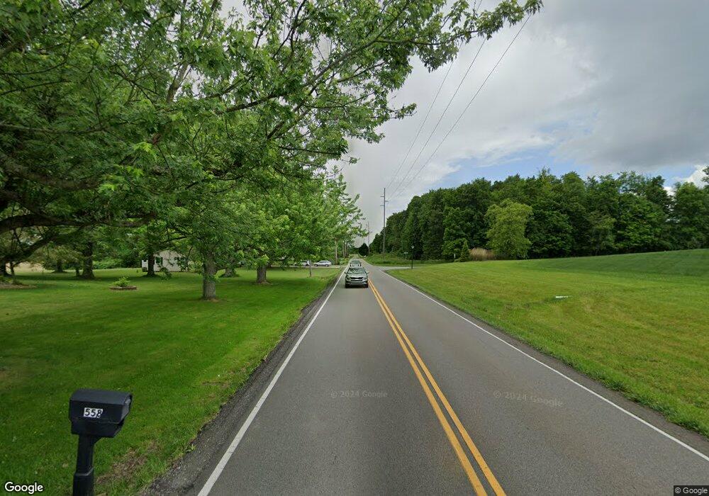
12-V/L Eastern Rd Doylestown, OH 44230
Estimated Value: $214,498 - $216,000
3
Beds
1
Bath
1,432
Sq Ft
$150/Sq Ft
Est. Value
About This Home
This home is located at 12-V/L Eastern Rd, Doylestown, OH 44230 and is currently estimated at $215,249, approximately $150 per square foot. 12-V/L Eastern Rd is a home located in Wayne County with nearby schools including Hazel Harvey Elementary School, Chippewa Intermediate School, and Chippewa Jr./Sr. High School.
Ownership History
Date
Name
Owned For
Owner Type
Purchase Details
Closed on
Mar 13, 2025
Sold by
Summit Properties Management Inc
Bought by
City Of Norton
Current Estimated Value
Purchase Details
Closed on
Sep 27, 2024
Sold by
Summit Properties Management Inc
Bought by
K & R Construction Group Llc
Home Financials for this Owner
Home Financials are based on the most recent Mortgage that was taken out on this home.
Original Mortgage
$264,600
Interest Rate
6.46%
Mortgage Type
New Conventional
Purchase Details
Closed on
Aug 29, 2024
Sold by
Summit Properties Management Inc
Bought by
Summit Properties Management Inc
Home Financials for this Owner
Home Financials are based on the most recent Mortgage that was taken out on this home.
Original Mortgage
$264,600
Interest Rate
6.46%
Mortgage Type
New Conventional
Purchase Details
Closed on
Jun 16, 2023
Sold by
Summit Properties Management Inc
Bought by
Summit Properties Management Inc
Purchase Details
Closed on
Mar 7, 2022
Sold by
Cutting Gregory A
Bought by
Summit Properties Management Inc
Purchase Details
Closed on
Mar 1, 2022
Sold by
Bml Properties Llc
Bought by
Cutting Gregory A
Purchase Details
Closed on
Feb 28, 2022
Sold by
Bml Properties Llc
Bought by
Cutting Gregory A
Purchase Details
Closed on
Jun 29, 2020
Sold by
North Barbara L
Bought by
Bml Properties Llc
Purchase Details
Closed on
Oct 2, 1991
Sold by
North Raymond Charles
Bought by
North Barbara L
Create a Home Valuation Report for This Property
The Home Valuation Report is an in-depth analysis detailing your home's value as well as a comparison with similar homes in the area
Home Values in the Area
Average Home Value in this Area
Purchase History
| Date | Buyer | Sale Price | Title Company |
|---|---|---|---|
| City Of Norton | $210,000 | None Listed On Document | |
| City Of Norton | $210,000 | None Listed On Document | |
| K & R Construction Group Llc | $330,800 | Commonwealth-Suburban Title | |
| K & R Construction Group Llc | $330,800 | Commonwealth-Suburban Title | |
| K & R Construction Group Llc | $330,800 | Commonwealth-Suburban Title | |
| Summit Properties Management Inc | -- | Commonwealth-Suburban Title | |
| Summit Properties Management Inc | -- | Commonwealth-Suburban Title | |
| Summit Properties Management Inc | -- | Commonwealth-Suburban Title | |
| Summit Properties Management Inc | -- | None Listed On Document | |
| Summit Properties Management Inc | $40,000 | None Listed On Document | |
| Cutting Gregory A | -- | Norris Andrea L | |
| Cutting Gregory A | -- | Norris Andrea L | |
| Cutting Gregory A | -- | Norris Andrea L | |
| Bml Properties Llc | $10,000 | None Available | |
| North Barbara L | -- | -- |
Source: Public Records
Mortgage History
| Date | Status | Borrower | Loan Amount |
|---|---|---|---|
| Previous Owner | K & R Construction Group Llc | $264,600 |
Source: Public Records
Tax History
| Year | Tax Paid | Tax Assessment Tax Assessment Total Assessment is a certain percentage of the fair market value that is determined by local assessors to be the total taxable value of land and additions on the property. | Land | Improvement |
|---|---|---|---|---|
| 2024 | $301 | $50,940 | $50,940 | $0 |
| 2023 | $330 | $130,070 | $130,070 | -- |
| 2022 | $272 | $6,970 | $6,970 | $0 |
| 2021 | $989 | $25,350 | $9,290 | $16,060 |
| 2020 | $997 | $25,350 | $9,290 | $16,060 |
| 2019 | $1,006 | $24,740 | $8,280 | $16,460 |
| 2018 | $1,016 | $24,740 | $8,280 | $16,460 |
| 2017 | $983 | $24,740 | $8,280 | $16,460 |
| 2016 | $983 | $23,790 | $7,960 | $15,830 |
| 2015 | $958 | $23,790 | $7,960 | $15,830 |
| 2014 | $841 | $23,790 | $7,960 | $15,830 |
| 2013 | $861 | $23,590 | $7,490 | $16,100 |
Source: Public Records
Map
Nearby Homes
- 15240 Hametown Rd
- 14740 Oak Grove Dr Unit 41
- 14761 Calaboone Rd
- 255 Taylor Rd
- 18085 Grill Rd
- 136 Taylor Rd
- V/L 1050 Melanie Ln
- 3388 Symphony Ln
- VL 1067 Homan Dr
- 233 Homan Dr
- 3626 Johnson Rd
- 580 Thorn Way
- 680 Thorn Way
- 620 Thorn Way
- 497 Gates St
- 436 N Portage St
- V/L approx 67.56ac Gates St
- 4527 Rock Cut Rd
- 96 Waltz Dr
- 000 Haynes Ave
- 12 AC Eastern Rd
- 3-V/L Eastern Rd
- 15472 Hametown Rd
- 15530 Hametown Rd
- 3998 Eastern Rd
- 4030 Eastern Rd
- 3970 Eastern Rd
- 15400 Hametown Rd
- 15430 Hametown Rd
- 5372 S Hametown Rd
- 15593 Portage St
- 15579 Portage St
- 15577 Portage St
- 15364 Hametown Rd
- 5652 Wooster Rd W
- 15565 Portage St
- 15449 Hametown Rd
- 5642 Wooster Rd W
- 15429 Hametown Rd
- 15570 Portage St
Your Personal Tour Guide
Ask me questions while you tour the home.
