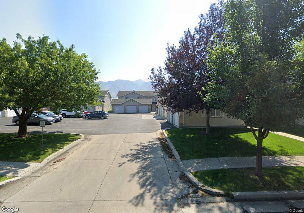
12 W 1285 S Logan, UT 84321
Woodruff NeighborhoodEstimated Value: $255,113 - $266,000
2
Beds
2
Baths
1,190
Sq Ft
$218/Sq Ft
Est. Value
About This Home
This home is located at 12 W 1285 S, Logan, UT 84321 and is currently estimated at $259,278, approximately $217 per square foot. 12 W 1285 S is a home located in Cache County with nearby schools including Hillcrest Elementary School, Mount Logan Middle School, and Logan High School.
Ownership History
Date
Name
Owned For
Owner Type
Purchase Details
Closed on
Apr 4, 2012
Sold by
Bowman David E
Bought by
Davis Emerson
Current Estimated Value
Home Financials for this Owner
Home Financials are based on the most recent Mortgage that was taken out on this home.
Original Mortgage
$85,025
Outstanding Balance
$58,307
Interest Rate
3.91%
Mortgage Type
New Conventional
Estimated Equity
$200,971
Purchase Details
Closed on
Jan 10, 2006
Sold by
Bowman David E and Bowman Beoki
Bought by
Bowman David E and David E Bowman Living Trust
Purchase Details
Closed on
Jun 29, 2005
Sold by
Williams R David and Williams Karen
Bought by
Bowman David E and Bowman Becki
Create a Home Valuation Report for This Property
The Home Valuation Report is an in-depth analysis detailing your home's value as well as a comparison with similar homes in the area
Home Values in the Area
Average Home Value in this Area
Purchase History
| Date | Buyer | Sale Price | Title Company |
|---|---|---|---|
| Davis Emerson | -- | Cache Title Company | |
| Bowman David E | -- | None Available | |
| Bowman David E | -- | Hickman Land Title Company |
Source: Public Records
Mortgage History
| Date | Status | Borrower | Loan Amount |
|---|---|---|---|
| Open | Davis Emerson | $85,025 |
Source: Public Records
Tax History Compared to Growth
Tax History
| Year | Tax Paid | Tax Assessment Tax Assessment Total Assessment is a certain percentage of the fair market value that is determined by local assessors to be the total taxable value of land and additions on the property. | Land | Improvement |
|---|---|---|---|---|
| 2025 | $1,085 | $140,375 | $0 | $0 |
| 2024 | $1,109 | $138,915 | $0 | $0 |
| 2023 | $1,233 | $147,180 | $0 | $0 |
| 2022 | $1,357 | $151,250 | $0 | $0 |
| 2021 | $1,155 | $198,890 | $50,000 | $148,890 |
| 2020 | $997 | $154,600 | $30,000 | $124,600 |
| 2019 | $925 | $137,272 | $30,000 | $107,272 |
| 2018 | $910 | $123,280 | $30,000 | $93,280 |
| 2017 | $805 | $57,640 | $0 | $0 |
| 2016 | $835 | $48,070 | $0 | $0 |
| 2015 | $692 | $47,745 | $0 | $0 |
| 2014 | $626 | $47,745 | $0 | $0 |
| 2013 | -- | $47,745 | $0 | $0 |
Source: Public Records
Map
Nearby Homes
- 130 W 1260 S
- 168 W 1275 S
- 593 W 300 S
- 475 W 60 S Unit L304
- 460 W 15 S Unit G202
- 470 W 15 S Unit F301
- 460 W 15 S Unit G201
- 460 W 15 S Unit G301
- 462 W 40 S Unit 202
- 268 W 1030 S
- 427 W 65 S
- 426 W 15 S
- 238 W 1010 S Unit 43
- 273 W 1010 S
- 265 W 1010 S
- 233 W 1010 S
- 866 Riverwood Dr
- 287 S 375 W
- 476 Cobblestone
- 439 Meadow Ln