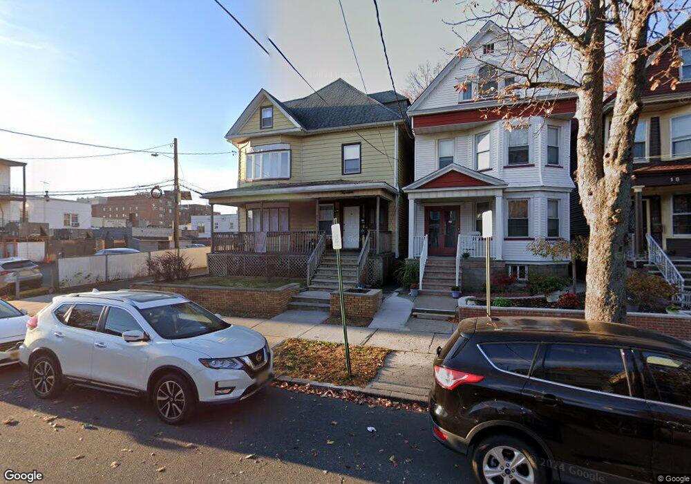
12 W 31st St Unit 14 Bayonne, NJ 07002
Constable Hook NeighborhoodEstimated Value: $772,000 - $1,011,000
7
Beds
4
Baths
3,247
Sq Ft
$265/Sq Ft
Est. Value
About This Home
This home is located at 12 W 31st St Unit 14, Bayonne, NJ 07002 and is currently estimated at $861,349, approximately $265 per square foot. 12 W 31st St Unit 14 is a home located in Hudson County with nearby schools including Bayonne High School and Yeshiva Gedolah of Bayonne.
Ownership History
Date
Name
Owned For
Owner Type
Purchase Details
Closed on
Oct 16, 2013
Sold by
Us Masters Residential Property Usa Fund
Bought by
Carlton Urf Llc
Current Estimated Value
Purchase Details
Closed on
Sep 5, 2012
Sold by
Falat Georginna
Bought by
Us Masters Residential Property Fund
Purchase Details
Closed on
Feb 28, 1996
Sold by
Falat John and Falat Anna
Bought by
Falat John
Create a Home Valuation Report for This Property
The Home Valuation Report is an in-depth analysis detailing your home's value as well as a comparison with similar homes in the area
Home Values in the Area
Average Home Value in this Area
Purchase History
| Date | Buyer | Sale Price | Title Company |
|---|---|---|---|
| Carlton Urf Llc | -- | All Jersey Title Llc | |
| Us Masters Residential Property Fund | $390,000 | Chicago Title Insurance Comp | |
| Falat John | -- | -- |
Source: Public Records
Tax History Compared to Growth
Tax History
| Year | Tax Paid | Tax Assessment Tax Assessment Total Assessment is a certain percentage of the fair market value that is determined by local assessors to be the total taxable value of land and additions on the property. | Land | Improvement |
|---|---|---|---|---|
| 2025 | $17,763 | $635,300 | $243,800 | $391,500 |
| 2024 | $17,045 | $635,300 | $243,800 | $391,500 |
| 2023 | $17,045 | $635,300 | $243,800 | $391,500 |
| 2022 | $16,727 | $635,300 | $243,800 | $391,500 |
| 2021 | $16,594 | $635,300 | $243,800 | $391,500 |
| 2020 | $16,302 | $635,300 | $243,800 | $391,500 |
| 2019 | $14,084 | $163,200 | $44,300 | $118,900 |
| 2018 | $13,803 | $163,200 | $44,300 | $118,900 |
| 2017 | $13,446 | $163,200 | $44,300 | $118,900 |
| 2016 | $13,601 | $171,400 | $44,300 | $127,100 |
| 2015 | $15,885 | $207,000 | $44,300 | $162,700 |
| 2014 | $15,411 | $207,000 | $44,300 | $162,700 |
Source: Public Records
Map
Nearby Homes
- 12-14 W 31st St
- 43 W 43rd St
- 40-42 E 31st St
- 718 Broadway
- 5 Elna Ct
- 31 E 32nd St
- 70 W 32nd St Unit 4D
- 70 W 32nd St Unit 1F
- 26 E 28th St
- 442 Avenue E
- 66 W 33rd St
- 86 W 33rd St Unit 207
- 22 W 34th St Unit 101
- 49 E 33rd St
- 525 Avenue E Unit 527
- 815 John F. Kennedy Blvd
- 128 W 30th St
- 46 E 34th St
- 27 E 34th St
- 98 W 27th St
- 16 W 31st St
- 18 W 31st St
- 20 W 31st St
- 22 W 31st St
- 663 Broadway
- 665 Broadway
- 24 W 31st St
- 667-669 Broadway Unit 1
- 667 Broadway Unit 4
- 667 Broadway Unit 1
- 667 Broadway
- 667 Broadway Unit 2
- 667 Broadway Unit 1A
- 13 W 31st St
- 26 W 31st St
- 9 W 31st St
- 11 W 31st St Unit 3
- 11 W 31st St
- 11 W 31st St Unit 2
- 11 W 31st St Unit 4