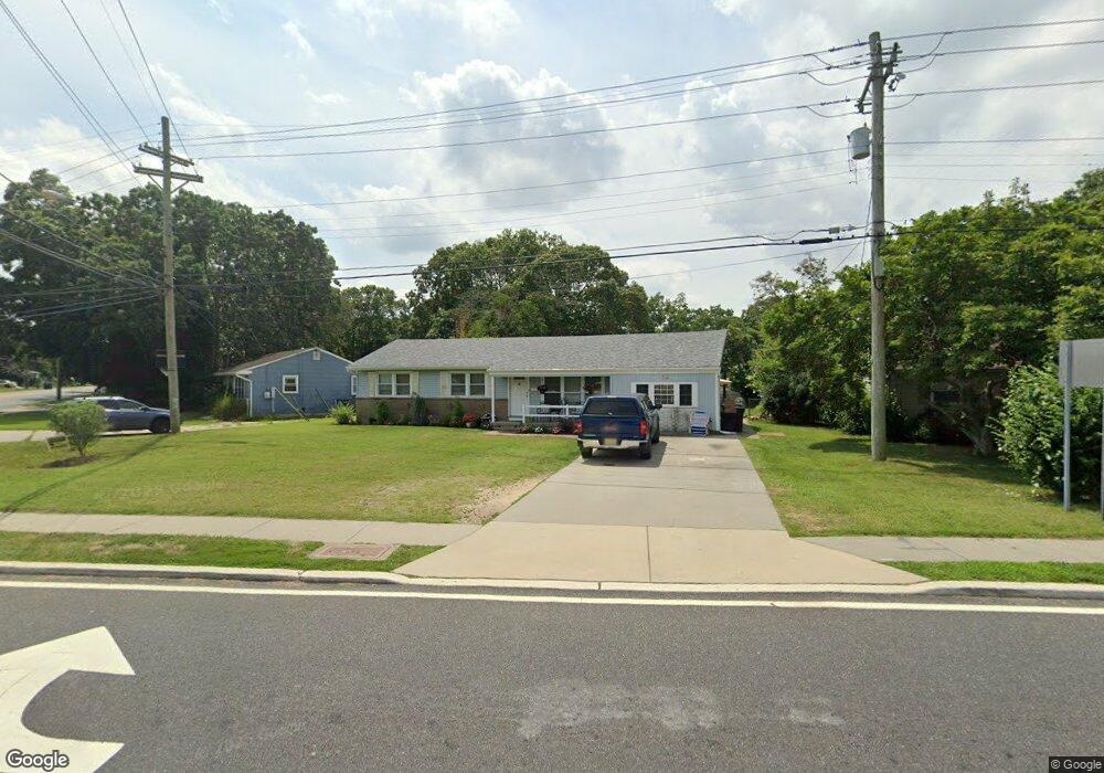
12 W Laurel Dr Somers Point, NJ 08244
Estimated Value: $384,000 - $429,000
--
Bed
--
Bath
1,601
Sq Ft
$258/Sq Ft
Est. Value
About This Home
This home is located at 12 W Laurel Dr, Somers Point, NJ 08244 and is currently estimated at $412,597, approximately $257 per square foot. 12 W Laurel Dr is a home located in Atlantic County with nearby schools including Mainland Regional High School, ChARTer TECH High School for the Performing Arts, and Saint Joseph Regional School.
Ownership History
Date
Name
Owned For
Owner Type
Purchase Details
Closed on
Jan 25, 2006
Sold by
Beaumont Susan
Bought by
Stephanie Bottorf
Current Estimated Value
Home Financials for this Owner
Home Financials are based on the most recent Mortgage that was taken out on this home.
Original Mortgage
$217,600
Outstanding Balance
$123,297
Interest Rate
6.31%
Mortgage Type
Purchase Money Mortgage
Estimated Equity
$289,300
Purchase Details
Closed on
Aug 22, 2005
Sold by
Delellis Daniel
Bought by
Beaumont Susan E
Create a Home Valuation Report for This Property
The Home Valuation Report is an in-depth analysis detailing your home's value as well as a comparison with similar homes in the area
Home Values in the Area
Average Home Value in this Area
Purchase History
| Date | Buyer | Sale Price | Title Company |
|---|---|---|---|
| Stephanie Bottorf | $272,000 | -- | |
| Beaumont Susan E | -- | -- |
Source: Public Records
Mortgage History
| Date | Status | Borrower | Loan Amount |
|---|---|---|---|
| Open | Stephanie Bottorf | $217,600 |
Source: Public Records
Tax History Compared to Growth
Tax History
| Year | Tax Paid | Tax Assessment Tax Assessment Total Assessment is a certain percentage of the fair market value that is determined by local assessors to be the total taxable value of land and additions on the property. | Land | Improvement |
|---|---|---|---|---|
| 2025 | $6,047 | $169,100 | $32,800 | $136,300 |
| 2024 | $6,047 | $169,100 | $32,800 | $136,300 |
| 2023 | $5,476 | $163,900 | $32,800 | $131,100 |
| 2022 | $5,476 | $163,900 | $32,800 | $131,100 |
| 2021 | $5,394 | $163,900 | $32,800 | $131,100 |
| 2020 | $5,284 | $163,900 | $32,800 | $131,100 |
| 2019 | $5,135 | $163,900 | $32,800 | $131,100 |
| 2018 | $5,027 | $163,900 | $32,800 | $131,100 |
| 2017 | $4,847 | $163,900 | $32,800 | $131,100 |
| 2016 | $4,627 | $163,900 | $32,800 | $131,100 |
| 2015 | $4,579 | $163,900 | $32,800 | $131,100 |
| 2014 | $5,100 | $188,900 | $57,800 | $131,100 |
Source: Public Records
Map
Nearby Homes
- 906 New Rd
- 508 W New Jersey Ave Unit 508 W New Jersey
- 508 W New Jersey Ave
- 710 W New York Ave
- 415 W New Jersey Ave
- 4 Par Dr
- 901 W New York Ave
- 604 9th St
- 746 4th St
- 120 Jordan Rd
- 36 Lehigh Dr
- 653 4th St
- 742 3rd St
- 740 3rd St
- 1005 Jesse Dr Unit 1005
- 7 Nassau Rd
- 18 Greate Bay Dr
- 322 W Connecticut Ave Unit A
- 5 Greate Bay Dr Unit 5
- 804 2nd St
- 10 W Laurel Dr
- 14 W Laurel Dr
- 7 Holly Hills Dr
- 9 Holly Hills Dr
- 16 W Laurel Dr
- 5 Holly Hills Dr
- 11 Holly Hills Dr
- 18 W Laurel Dr
- 66 E Laurel Dr
- 17 W Laurel Dr
- 13 Holly Hills Dr
- 20 W Laurel Dr
- 19 W Laurel Dr
- 1 Holly Hills Dr
- 902 New Rd
- 21 W Laurel Dr
- 22 W Laurel Dr
- 15 Holly Hills Dr
- 805 New Rd
- 904 New Rd