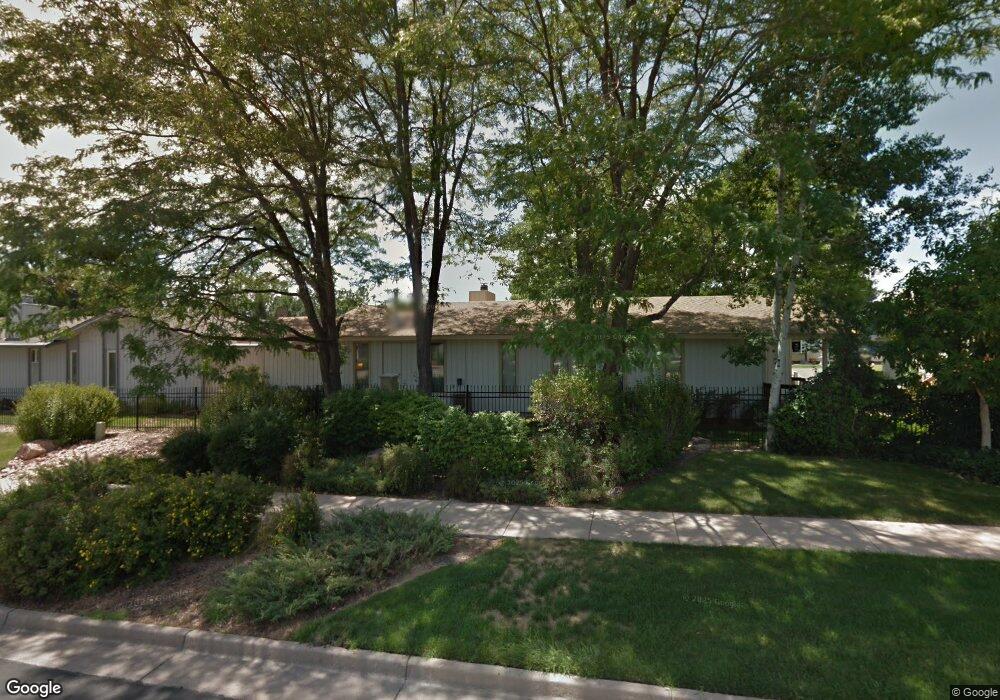
12 Walter Way Broomfield, CO 80020
Ridgeview Heights NeighborhoodEstimated Value: $482,000 - $538,000
2
Beds
2
Baths
--
Sq Ft
5,009
Sq Ft Lot
About This Home
This home is located at 12 Walter Way, Broomfield, CO 80020 and is currently estimated at $507,225. 12 Walter Way is a home located in Broomfield County with nearby schools including Kohl Elementary School, Broomfield Heights Middle School, and Broomfield High School.
Ownership History
Date
Name
Owned For
Owner Type
Purchase Details
Closed on
Jul 31, 2014
Sold by
Cook Sandra and Cook Robert
Bought by
Brady Michael Jay and Brady Christianne Elaine
Current Estimated Value
Home Financials for this Owner
Home Financials are based on the most recent Mortgage that was taken out on this home.
Original Mortgage
$134,000
Interest Rate
7%
Mortgage Type
Seller Take Back
Purchase Details
Closed on
Aug 20, 2010
Sold by
Morton Charlene K
Bought by
Cook Robert and Cook Sandra
Home Financials for this Owner
Home Financials are based on the most recent Mortgage that was taken out on this home.
Original Mortgage
$90,000
Interest Rate
3.87%
Mortgage Type
New Conventional
Purchase Details
Closed on
Oct 25, 2006
Sold by
Drake Ray E and Drake Naomi R
Bought by
Drake Ray E and Drake Naomi R
Purchase Details
Closed on
Dec 3, 1987
Purchase Details
Closed on
Mar 28, 1983
Create a Home Valuation Report for This Property
The Home Valuation Report is an in-depth analysis detailing your home's value as well as a comparison with similar homes in the area
Home Values in the Area
Average Home Value in this Area
Purchase History
| Date | Buyer | Sale Price | Title Company |
|---|---|---|---|
| Brady Michael Jay | $230,000 | Land Title Guarantee Company | |
| Cook Robert | $175,000 | None Available | |
| Drake Ray E | -- | None Available | |
| -- | $86,000 | -- | |
| -- | $70,000 | -- |
Source: Public Records
Mortgage History
| Date | Status | Borrower | Loan Amount |
|---|---|---|---|
| Closed | Brady Michael Jay | $134,000 | |
| Previous Owner | Cook Robert | $90,000 |
Source: Public Records
Tax History Compared to Growth
Tax History
| Year | Tax Paid | Tax Assessment Tax Assessment Total Assessment is a certain percentage of the fair market value that is determined by local assessors to be the total taxable value of land and additions on the property. | Land | Improvement |
|---|---|---|---|---|
| 2025 | $2,723 | $31,560 | $6,630 | $24,930 |
| 2024 | $2,723 | $29,060 | $6,210 | $22,850 |
| 2023 | $2,718 | $33,960 | $7,260 | $26,700 |
| 2022 | $2,319 | $23,990 | $5,140 | $18,850 |
| 2021 | $2,307 | $24,680 | $5,290 | $19,390 |
| 2020 | $2,105 | $22,380 | $4,670 | $17,710 |
| 2019 | $2,102 | $22,530 | $4,700 | $17,830 |
| 2018 | $1,859 | $19,690 | $3,890 | $15,800 |
| 2017 | $1,830 | $21,770 | $4,300 | $17,470 |
| 2016 | $1,660 | $17,600 | $4,300 | $13,300 |
| 2015 | $1,602 | $15,140 | $4,550 | $10,590 |
| 2014 | $1,409 | $15,140 | $4,550 | $10,590 |
Source: Public Records
Map
Nearby Homes
- 23 Scott Dr N
- 20 Scott Dr N
- 53 Douglas Dr S
- 46 Douglas Dr S
- 114 E 14th Ct
- 37 E 14th Place
- 57 Scott Dr S
- 30 Douglas Dr N
- 14 N Douglas Dr
- 1732 Peregrine Ln
- 1490 Saint Andrews Dr
- 1719 Daisy Ct
- 36 Carla Way
- 1660 Emerald St
- 1175 Oakhurst Dr
- 267 Powderhorn Trail
- 1607 Garnet St
- 1625 Hemlock Way
- 1606 Iris St
- 1152 Clubhouse Dr