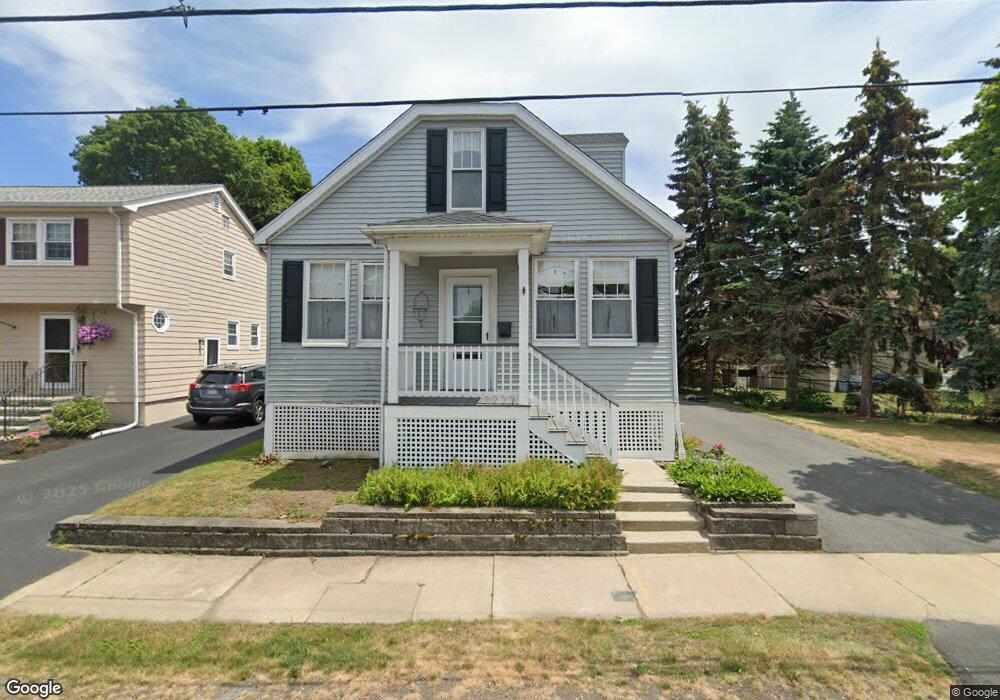
12 Warren Rd Saugus, MA 01906
Cliftondale NeighborhoodEstimated Value: $518,000 - $608,000
2
Beds
1
Bath
1,080
Sq Ft
$520/Sq Ft
Est. Value
About This Home
This home is located at 12 Warren Rd, Saugus, MA 01906 and is currently estimated at $561,518, approximately $519 per square foot. 12 Warren Rd is a home located in Essex County with nearby schools including Saugus High School, Pioneer Charter School Of Science II, and St. Mary's Lynn.
Ownership History
Date
Name
Owned For
Owner Type
Purchase Details
Closed on
May 2, 2019
Sold by
Bentz Cynthia G and Bentz Gary J
Bought by
Bentz Cynthia G
Current Estimated Value
Purchase Details
Closed on
Jun 13, 2008
Sold by
Crotty Claire M
Bought by
Bentz Gery J and Bentz Cynthia G
Home Financials for this Owner
Home Financials are based on the most recent Mortgage that was taken out on this home.
Original Mortgage
$253,000
Interest Rate
6.13%
Mortgage Type
Purchase Money Mortgage
Create a Home Valuation Report for This Property
The Home Valuation Report is an in-depth analysis detailing your home's value as well as a comparison with similar homes in the area
Home Values in the Area
Average Home Value in this Area
Purchase History
| Date | Buyer | Sale Price | Title Company |
|---|---|---|---|
| Bentz Cynthia G | -- | -- | |
| Bentz Gery J | $255,000 | -- |
Source: Public Records
Mortgage History
| Date | Status | Borrower | Loan Amount |
|---|---|---|---|
| Previous Owner | Bentz Gery J | $253,341 | |
| Previous Owner | Bentz Gery J | $253,000 |
Source: Public Records
Tax History
| Year | Tax Paid | Tax Assessment Tax Assessment Total Assessment is a certain percentage of the fair market value that is determined by local assessors to be the total taxable value of land and additions on the property. | Land | Improvement |
|---|---|---|---|---|
| 2025 | $5,308 | $497,000 | $319,300 | $177,700 |
| 2024 | $5,170 | $485,400 | $310,700 | $174,700 |
| 2023 | $5,041 | $447,700 | $271,800 | $175,900 |
| 2022 | $4,977 | $414,400 | $252,900 | $161,500 |
| 2021 | $4,505 | $365,100 | $209,700 | $155,400 |
| 2020 | $4,060 | $340,600 | $199,400 | $141,200 |
| 2019 | $3,860 | $316,900 | $189,900 | $127,000 |
| 2018 | $3,501 | $302,300 | $181,200 | $121,100 |
| 2017 | $3,354 | $278,300 | $172,600 | $105,700 |
| 2016 | $3,068 | $251,500 | $163,900 | $87,600 |
| 2015 | $2,879 | $239,500 | $156,100 | $83,400 |
| 2014 | $2,831 | $243,800 | $156,100 | $87,700 |
Source: Public Records
Map
Nearby Homes
- 0 Hampton St
- 44 Ballard St
- 5 Ballard St
- 14 Clayton Ave
- 12 Riverside Ct
- 5 Springdale Ave
- 25 Piedmont Ave
- 20 Heaths Ct Unit 104
- 28 Naples Ave
- 5 Hollis St
- 28 Margin St Unit A
- 21 Margin St Unit 33
- 11 Margin St Unit 7
- 187 Hamilton St
- 11-13 Echo Grove Ave
- 360 Lincoln Ave
- 189 Holyoke St
- 79 Laurel St
- 76-78 Linden St
- 6 Morris St
Your Personal Tour Guide
Ask me questions while you tour the home.