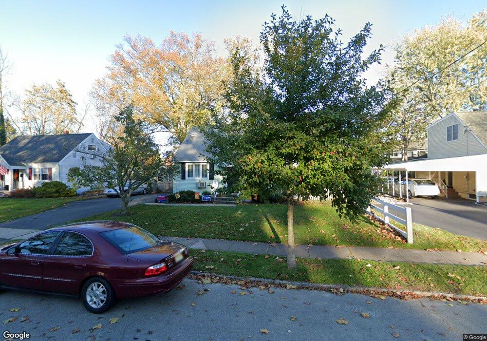
12 Wayne Blvd Madison, NJ 07940
Estimated Value: $695,000 - $828,000
Studio
--
Bath
1,228
Sq Ft
$611/Sq Ft
Est. Value
About This Home
This home is located at 12 Wayne Blvd, Madison, NJ 07940 and is currently estimated at $750,255, approximately $610 per square foot. 12 Wayne Blvd is a home located in Morris County with nearby schools including Central Avenue School, Madison Junior School, and Madison High School.
Ownership History
Date
Name
Owned For
Owner Type
Purchase Details
Closed on
Sep 19, 2014
Sold by
Stevenson Clint W and Stevenson Andrea D
Bought by
Madara Robert J and Madara Elizabeth A
Current Estimated Value
Home Financials for this Owner
Home Financials are based on the most recent Mortgage that was taken out on this home.
Original Mortgage
$325,000
Outstanding Balance
$248,441
Interest Rate
4.1%
Mortgage Type
VA
Estimated Equity
$501,814
Purchase Details
Closed on
Jun 16, 2009
Sold by
Bell Arthur J and Bell Jean
Bought by
Stevenson Clint W and Stevenson Andrea D
Home Financials for this Owner
Home Financials are based on the most recent Mortgage that was taken out on this home.
Original Mortgage
$378,026
Interest Rate
4.91%
Mortgage Type
FHA
Create a Home Valuation Report for This Property
The Home Valuation Report is an in-depth analysis detailing your home's value as well as a comparison with similar homes in the area
Home Values in the Area
Average Home Value in this Area
Purchase History
| Date | Buyer | Sale Price | Title Company |
|---|---|---|---|
| Madara Robert J | $425,000 | Commonwealth Land Title Co L | |
| Stevenson Clint W | $385,000 | Chicago Title Insurance Co |
Source: Public Records
Mortgage History
| Date | Status | Borrower | Loan Amount |
|---|---|---|---|
| Open | Madara Robert J | $325,000 | |
| Previous Owner | Stevenson Clint W | $378,026 |
Source: Public Records
Tax History
| Year | Tax Paid | Tax Assessment Tax Assessment Total Assessment is a certain percentage of the fair market value that is determined by local assessors to be the total taxable value of land and additions on the property. | Land | Improvement |
|---|---|---|---|---|
| 2025 | $8,081 | $379,400 | $251,600 | $127,800 |
| 2024 | $7,812 | $379,400 | $251,600 | $127,800 |
Source: Public Records
Map
Nearby Homes
- 58 Park Ave
- 14 Buckingham Dr
- 78 North St
- 60 Greenwood Ave
- 52 Cambridge Ct Unit 6
- 122 Hempstead Ct Unit K4
- 142 Ridgedale Ave
- 24 Fairview Ave
- 9 Westerly Ave
- 190 Park Ave
- 24 Loantaka Way
- 21 Belmont Ave
- 21 Belmont Ave Unit 2
- 40 Loantaka Way Unit J
- 352 Woodland Rd
- 70 Valley Rd
- 60 West Ln
- 54 Midwood Terrace
- 175 Green Village Rd
- 7 Colonial Way
Your Personal Tour Guide
Ask me questions while you tour the home.