12 Wayside Rd Wayland, MA 01778
Estimated Value: $1,520,000 - $1,860,000
4
Beds
3
Baths
2,999
Sq Ft
$550/Sq Ft
Est. Value
About This Home
This home is located at 12 Wayside Rd, Wayland, MA 01778 and is currently estimated at $1,649,469, approximately $550 per square foot. 12 Wayside Rd is a home located in Middlesex County with nearby schools including Wayland High School.
Ownership History
Date
Name
Owned For
Owner Type
Purchase Details
Closed on
Jun 25, 2024
Sold by
Trask Inc
Bought by
Markell Mark and Capone Lori
Current Estimated Value
Purchase Details
Closed on
Dec 17, 1997
Sold by
Oneil Richard T and Oneil Gail M
Bought by
Brofsky Marc A and Brofsky Jill J
Create a Home Valuation Report for This Property
The Home Valuation Report is an in-depth analysis detailing your home's value as well as a comparison with similar homes in the area
Home Values in the Area
Average Home Value in this Area
Purchase History
| Date | Buyer | Sale Price | Title Company |
|---|---|---|---|
| Markell Mark | $1,725,000 | None Available | |
| Markell Mark | $1,725,000 | None Available | |
| Markell Mark | $1,725,000 | None Available | |
| Brofsky Marc A | $380,000 | -- |
Source: Public Records
Mortgage History
| Date | Status | Borrower | Loan Amount |
|---|---|---|---|
| Previous Owner | Brofsky Marc A | $350,000 | |
| Previous Owner | Brofsky Marc A | $335,000 |
Source: Public Records
Tax History Compared to Growth
Tax History
| Year | Tax Paid | Tax Assessment Tax Assessment Total Assessment is a certain percentage of the fair market value that is determined by local assessors to be the total taxable value of land and additions on the property. | Land | Improvement |
|---|---|---|---|---|
| 2025 | $19,236 | $1,230,700 | $605,700 | $625,000 |
| 2024 | $18,222 | $1,174,100 | $577,000 | $597,100 |
| 2023 | $17,121 | $1,028,300 | $524,500 | $503,800 |
| 2022 | $16,585 | $903,800 | $434,200 | $469,600 |
| 2021 | $9,328 | $864,300 | $394,700 | $469,600 |
| 2020 | $15,350 | $864,300 | $394,700 | $469,600 |
| 2019 | $14,761 | $807,500 | $376,000 | $431,500 |
| 2018 | $7,429 | $770,100 | $376,000 | $394,100 |
| 2017 | $13,547 | $746,800 | $364,800 | $382,000 |
| 2016 | $12,658 | $730,000 | $357,700 | $372,300 |
| 2015 | $12,912 | $702,100 | $357,700 | $344,400 |
Source: Public Records
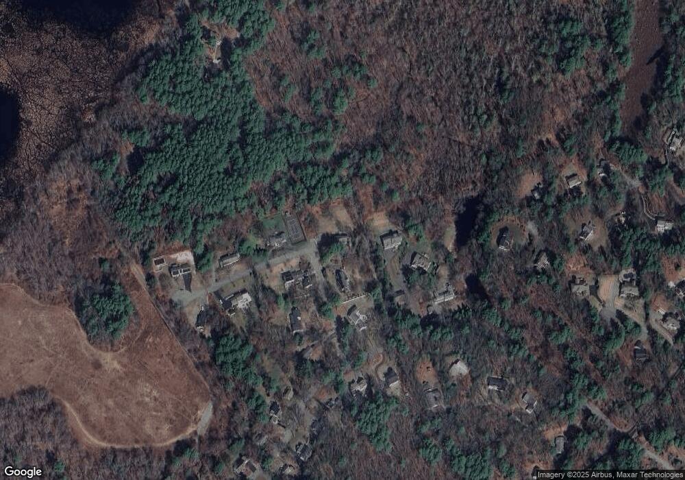
Map
Nearby Homes
- 15 Lewis Path
- 17 Glezen Ln
- 93 Old Sudbury Rd
- 134 Chestnut Cir
- 9 River Rock Way Unit 9
- 244 Lincoln Rd
- 17 Hastings Way Unit 17
- Lot 5 Sailaway Ln
- 45 N Crescent Cir
- Lot 4 Sailaway Ln
- 2 Betts Way
- 8 Mina Way
- 0 Elm Unit 73282184
- Lot 9 Sailaway Ln
- 4 Betts Way
- 122 Sand Gully Rd N Unit B
- 941 Concord Rd
- 156 Boston Post Rd
- 192 Concord Rd
- 152 S Great Rd