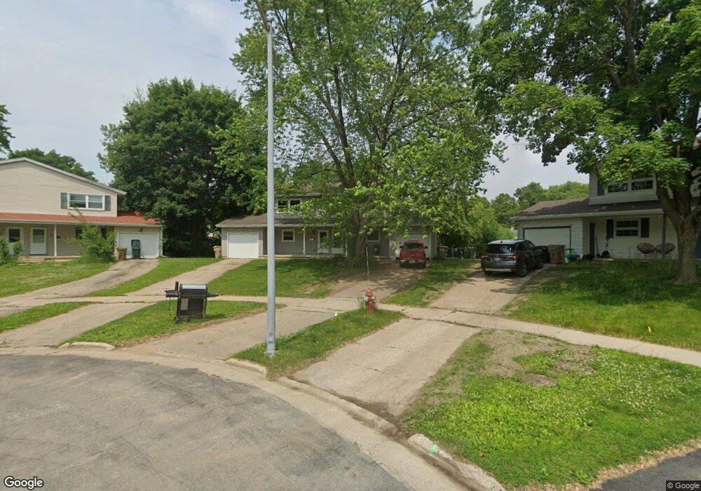
12 Westbrook Cir Madison, WI 53711
Prairie Hills NeighborhoodEstimated Value: $234,000 - $277,000
3
Beds
2
Baths
1,260
Sq Ft
$204/Sq Ft
Est. Value
About This Home
This home is located at 12 Westbrook Cir, Madison, WI 53711 and is currently estimated at $257,112, approximately $204 per square foot. 12 Westbrook Cir is a home located in Dane County with nearby schools including Huegel Elementary School, Toki Middle School, and Vel Phillips Memorial High School.
Ownership History
Date
Name
Owned For
Owner Type
Purchase Details
Closed on
Sep 18, 2020
Sold by
James Brandon L and James Allison R
Bought by
Wild Willy Llc
Current Estimated Value
Home Financials for this Owner
Home Financials are based on the most recent Mortgage that was taken out on this home.
Original Mortgage
$128,000
Outstanding Balance
$113,592
Interest Rate
2.9%
Mortgage Type
Commercial
Estimated Equity
$143,520
Purchase Details
Closed on
Jul 20, 2011
Sold by
Smith Kevin G and Smith Kerstin
Bought by
James Brandon L and Keeffer Allison R
Home Financials for this Owner
Home Financials are based on the most recent Mortgage that was taken out on this home.
Original Mortgage
$114,968
Interest Rate
4.5%
Mortgage Type
FHA
Purchase Details
Closed on
Jun 15, 2007
Sold by
Billmeyer James
Bought by
Smith Kevin G and Smith Kerstin
Create a Home Valuation Report for This Property
The Home Valuation Report is an in-depth analysis detailing your home's value as well as a comparison with similar homes in the area
Home Values in the Area
Average Home Value in this Area
Purchase History
| Date | Buyer | Sale Price | Title Company |
|---|---|---|---|
| Wild Willy Llc | $120,000 | Wis Title & Escrow | |
| James Brandon L | $118,000 | None Available | |
| Smith Kevin G | $134,900 | None Available |
Source: Public Records
Mortgage History
| Date | Status | Borrower | Loan Amount |
|---|---|---|---|
| Open | Wild Willy Llc | $128,000 | |
| Previous Owner | James Brandon L | $114,968 |
Source: Public Records
Tax History Compared to Growth
Tax History
| Year | Tax Paid | Tax Assessment Tax Assessment Total Assessment is a certain percentage of the fair market value that is determined by local assessors to be the total taxable value of land and additions on the property. | Land | Improvement |
|---|---|---|---|---|
| 2024 | $7,187 | $222,900 | $37,400 | $185,500 |
| 2023 | $3,287 | $202,600 | $34,000 | $168,600 |
| 2021 | $3,023 | $158,700 | $30,100 | $128,600 |
| 2020 | $2,855 | $139,200 | $30,100 | $109,100 |
| 2019 | $2,842 | $139,200 | $30,100 | $109,100 |
| 2018 | $2,869 | $139,200 | $30,100 | $109,100 |
| 2017 | $2,729 | $126,300 | $30,100 | $96,200 |
| 2016 | $2,599 | $118,000 | $30,100 | $87,900 |
| 2015 | $2,652 | $118,000 | $30,100 | $87,900 |
| 2014 | $2,650 | $118,000 | $30,100 | $87,900 |
| 2013 | $2,650 | $118,000 | $30,100 | $87,900 |
Source: Public Records
Map
Nearby Homes
- 6217 Pioneer Rd
- 6017 Mayhill Dr
- 2310 Ravenswood Rd
- 13 Jacobs Ct
- 1506 Lynndale Rd
- 6749 Raymond Rd
- 18 S Wickham Ct
- 6305-6307 Hammersley Rd
- 2109 Canterbury Rd
- 2622 Mckenna Blvd
- 5701 Bartlett Ln
- 5734 Meadowood Dr
- 5914 Stanton Ln
- 9 Newport Cir
- 2118 Gilbert Rd
- 5726 Hempstead Rd
- 6817 Stratford Dr
- 5837 Suffolk Rd
- 2945 Maple Run Dr
- 6210 Davenport Dr
- 12 Westbrook Cir Unit 12
- 10 Westbrook Cir
- 6 Westbrook Cir
- 8 Westbrook Cir
- 13 Westbrook Cir
- 15 Westbrook Cir
- 15 Westbrook Cir Unit 1
- 15 Westbrook Cir
- 2014 Prairie Rd
- 2010 Prairie Rd
- 6211 Raymond Rd
- 2006 Prairie Rd
- 6215 Raymond Rd
- 2009 Westbrook Ln
- 2022 Prairie Rd
- 6219 Raymond Rd
- 9 Westbrook Cir
- 11 Westbrook Cir
- 4 Westbrook Cir
- 2002 Prairie Rd