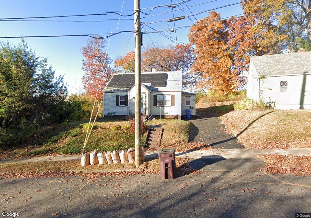
12 Westover Rd New Britain, CT 06053
Estimated Value: $273,000 - $307,000
3
Beds
1
Bath
1,238
Sq Ft
$234/Sq Ft
Est. Value
About This Home
This home is located at 12 Westover Rd, New Britain, CT 06053 and is currently estimated at $289,592, approximately $233 per square foot. 12 Westover Rd is a home located in Hartford County with nearby schools including Jefferson School, Pulaski Middle School, and Mountain Laurel Sudbury School.
Ownership History
Date
Name
Owned For
Owner Type
Purchase Details
Closed on
Nov 10, 2008
Sold by
Fhlmc
Bought by
Kumm Timothy
Current Estimated Value
Home Financials for this Owner
Home Financials are based on the most recent Mortgage that was taken out on this home.
Original Mortgage
$111,343
Interest Rate
6.08%
Mortgage Type
VA
Purchase Details
Closed on
Jul 10, 2006
Sold by
Colon Neussa
Bought by
Esposito Elaine
Home Financials for this Owner
Home Financials are based on the most recent Mortgage that was taken out on this home.
Original Mortgage
$131,000
Interest Rate
6.6%
Purchase Details
Closed on
Sep 30, 2005
Sold by
Agosto Evelyn
Bought by
Colon Neussa
Purchase Details
Closed on
Dec 22, 2000
Sold by
Dickenson Charles A and Dickenson Viola L
Bought by
Agosto Evelyn
Create a Home Valuation Report for This Property
The Home Valuation Report is an in-depth analysis detailing your home's value as well as a comparison with similar homes in the area
Home Values in the Area
Average Home Value in this Area
Purchase History
| Date | Buyer | Sale Price | Title Company |
|---|---|---|---|
| Kumm Timothy | $109,000 | -- | |
| Esposito Elaine | $163,750 | -- | |
| Colon Neussa | $144,000 | -- | |
| Agosto Evelyn | $90,000 | -- |
Source: Public Records
Mortgage History
| Date | Status | Borrower | Loan Amount |
|---|---|---|---|
| Open | Agosto Evelyn | $112,710 | |
| Closed | Agosto Evelyn | $111,343 | |
| Previous Owner | Agosto Evelyn | $131,000 |
Source: Public Records
Tax History Compared to Growth
Tax History
| Year | Tax Paid | Tax Assessment Tax Assessment Total Assessment is a certain percentage of the fair market value that is determined by local assessors to be the total taxable value of land and additions on the property. | Land | Improvement |
|---|---|---|---|---|
| 2025 | $5,173 | $132,020 | $56,420 | $75,600 |
| 2024 | $5,227 | $132,020 | $56,420 | $75,600 |
| 2023 | $5,054 | $132,020 | $56,420 | $75,600 |
| 2022 | $4,356 | $87,990 | $23,730 | $64,260 |
| 2021 | $4,356 | $87,990 | $23,730 | $64,260 |
| 2020 | $4,443 | $87,990 | $23,730 | $64,260 |
| 2019 | $4,443 | $87,990 | $23,730 | $64,260 |
| 2018 | $4,443 | $87,990 | $23,730 | $64,260 |
| 2017 | $4,058 | $80,360 | $23,730 | $56,630 |
| 2016 | $4,058 | $80,360 | $23,730 | $56,630 |
| 2015 | $3,938 | $80,360 | $23,730 | $56,630 |
| 2014 | $3,907 | $79,730 | $23,730 | $56,000 |
Source: Public Records
Map
Nearby Homes
- 97 Mckinley Dr
- 133 Mckinley Dr
- 67 Eastwick Rd
- 148 Governor St
- 55 Horseplain Rd
- 410 Farmington Ave Unit O6
- 410 Farmington Ave Unit H6
- 234 Pierremount Ave
- 73 Beach St
- 28 SyMcO Dr
- 34 Hutchinson St
- 394 Mcclintock St
- 801 Farmington Ave
- 343 Eddy Glover Blvd
- 124 Biruta St Unit J3, 29A
- 258 Eddy Glover Blvd
- 19 Hayes St
- 55 Allen St
- 187 Miriam Rd
- 140 Lewis Rd