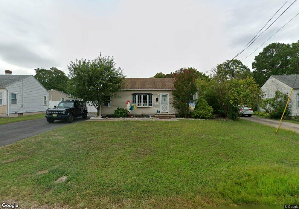
12 Whittier Ave Somerset, NJ 08873
Estimated Value: $380,000 - $448,000
--
Bed
--
Bath
864
Sq Ft
$485/Sq Ft
Est. Value
About This Home
This home is located at 12 Whittier Ave, Somerset, NJ 08873 and is currently estimated at $418,672, approximately $484 per square foot. 12 Whittier Ave is a home located in Somerset County with nearby schools including Franklin High School.
Ownership History
Date
Name
Owned For
Owner Type
Purchase Details
Closed on
Apr 26, 1999
Sold by
Fennjr Willie
Bought by
Picado Jose and Picado Nelly
Current Estimated Value
Home Financials for this Owner
Home Financials are based on the most recent Mortgage that was taken out on this home.
Original Mortgage
$126,892
Outstanding Balance
$32,542
Interest Rate
6.95%
Mortgage Type
FHA
Estimated Equity
$386,130
Purchase Details
Closed on
Jun 27, 1997
Sold by
Weber Ken
Bought by
Fenn Willie and Fenn Sylvia
Home Financials for this Owner
Home Financials are based on the most recent Mortgage that was taken out on this home.
Original Mortgage
$125,000
Interest Rate
7.86%
Mortgage Type
FHA
Create a Home Valuation Report for This Property
The Home Valuation Report is an in-depth analysis detailing your home's value as well as a comparison with similar homes in the area
Home Values in the Area
Average Home Value in this Area
Purchase History
| Date | Buyer | Sale Price | Title Company |
|---|---|---|---|
| Picado Jose | $127,000 | -- | |
| Fenn Willie | $124,600 | -- |
Source: Public Records
Mortgage History
| Date | Status | Borrower | Loan Amount |
|---|---|---|---|
| Open | Picado Jose | $126,892 | |
| Previous Owner | Fenn Willie | $125,000 |
Source: Public Records
Tax History Compared to Growth
Tax History
| Year | Tax Paid | Tax Assessment Tax Assessment Total Assessment is a certain percentage of the fair market value that is determined by local assessors to be the total taxable value of land and additions on the property. | Land | Improvement |
|---|---|---|---|---|
| 2025 | $6,100 | $402,200 | $283,900 | $118,300 |
| 2024 | $6,100 | $334,800 | $253,900 | $80,900 |
| 2023 | $6,107 | $314,800 | $233,900 | $80,900 |
| 2022 | $6,038 | $294,800 | $213,900 | $80,900 |
| 2021 | $5,679 | $254,800 | $173,900 | $80,900 |
| 2020 | $5,256 | $229,800 | $148,900 | $80,900 |
| 2019 | $5,095 | $219,800 | $138,900 | $80,900 |
| 2018 | $5,148 | $219,800 | $138,900 | $80,900 |
| 2017 | $4,932 | $209,800 | $128,900 | $80,900 |
| 2016 | $4,974 | $209,800 | $128,900 | $80,900 |
| 2015 | $5,247 | $222,800 | $141,900 | $80,900 |
| 2014 | $5,192 | $223,800 | $142,900 | $80,900 |
Source: Public Records
Map
Nearby Homes
- 14 Whittier Ave
- 10 Whittier Ave
- 3 Lowell Place
- 117 Harrison St
- 120 Harrison St
- 16 Whittier Ave
- 5 Lowell Place
- 119 Green St
- 125 Harrison St
- 8 Whittier Ave
- 9 Whittier Ave
- 18 Whittier Ave
- 11 Whittier Ave
- 7 Whittier Ave
- 125 Green St
- 7 Lowell Place
- 126 Harrison St
- 13 Whittier Ave
- 129 Harrison St
- 4 Lowell Place