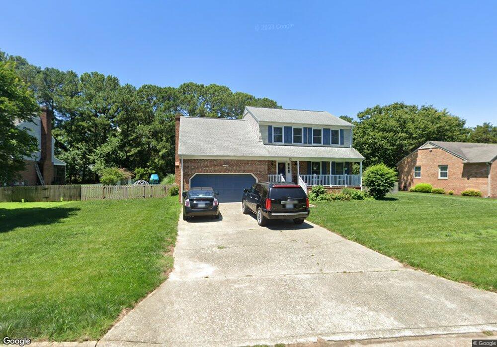
12 Windy Point Dr Poquoson, VA 23662
Poquoson West NeighborhoodEstimated Value: $488,916 - $546,000
4
Beds
3
Baths
2,261
Sq Ft
$230/Sq Ft
Est. Value
About This Home
This home is located at 12 Windy Point Dr, Poquoson, VA 23662 and is currently estimated at $520,229, approximately $230 per square foot. 12 Windy Point Dr is a home located in Poquoson City with nearby schools including Emmanuel Lutheran School, Living Word Academy, and Summit Christian Academy - Upper School.
Ownership History
Date
Name
Owned For
Owner Type
Purchase Details
Closed on
Aug 6, 2021
Sold by
Amante Philip A and Amante Annemarie C
Bought by
Weaver Jacob Adam
Current Estimated Value
Home Financials for this Owner
Home Financials are based on the most recent Mortgage that was taken out on this home.
Original Mortgage
$398,525
Outstanding Balance
$362,383
Interest Rate
2.9%
Mortgage Type
New Conventional
Estimated Equity
$157,846
Purchase Details
Closed on
Feb 12, 2018
Sold by
Amante Philip A and Amante Annemarie C
Bought by
Amante Philip A and Amante Annemarie C
Create a Home Valuation Report for This Property
The Home Valuation Report is an in-depth analysis detailing your home's value as well as a comparison with similar homes in the area
Home Values in the Area
Average Home Value in this Area
Purchase History
| Date | Buyer | Sale Price | Title Company |
|---|---|---|---|
| Weaver Jacob Adam | $419,500 | Attorney | |
| Amante Philip A | -- | None Available |
Source: Public Records
Mortgage History
| Date | Status | Borrower | Loan Amount |
|---|---|---|---|
| Open | Weaver Jacob Adam | $398,525 |
Source: Public Records
Tax History Compared to Growth
Tax History
| Year | Tax Paid | Tax Assessment Tax Assessment Total Assessment is a certain percentage of the fair market value that is determined by local assessors to be the total taxable value of land and additions on the property. | Land | Improvement |
|---|---|---|---|---|
| 2024 | $4,628 | $406,000 | $135,900 | $270,100 |
| 2023 | $4,507 | $406,000 | $135,900 | $270,100 |
| 2022 | $4,150 | $367,300 | $135,900 | $231,400 |
| 2021 | $4,150 | $367,300 | $135,900 | $231,400 |
| 2020 | $0 | $332,600 | $135,900 | $196,700 |
| 2019 | -- | $332,600 | $135,900 | $196,700 |
| 2018 | -- | $325,600 | $135,900 | $189,700 |
| 2017 | -- | $321,000 | $135,900 | $185,100 |
| 2016 | -- | $321,000 | $135,900 | $185,100 |
| 2015 | -- | $313,500 | $135,900 | $177,600 |
| 2013 | -- | $313,500 | $135,900 | $177,600 |
Source: Public Records
Map
Nearby Homes
- 208 Little Florida Rd
- 15 Robert Bruce Rd
- 129 Robert Bruce Rd
- 10 Kathy Dr
- 117 Robert Bruce Rd
- 119 Robert Bruce Rd
- 104 Robert Bruce Rd
- 111 Robert Bruce Rd
- 109 Robert Bruce Rd
- 122 Robert Bruce Rd
- 120 Robert Bruce Rd
- 108 Robert Bruce Rd
- 128 Robert Bruce Rd
- 304 Odd Rd
- 412 Joseph Topping Dr
- 1 Smith St
- 9 Hopkins Ct
- 718C Poquoson Ave
- 21 Rens Rd
- 7 Quail Cove
- 10 Windy Point Dr
- 14 Windy Point Dr
- 17 Trottwood Dr
- 15 Trottwood Dr
- 19 Trottwood Dr
- 3 Trottwood Dr
- 15 Windy Point Dr
- 5 Trottwood Dr
- 21 Trottwood Dr
- 1 Trottwood Dr
- 18 Windy Point Dr
- 7 Trottwood Dr
- 17 Windy Point Dr
- 23 Trottwood Dr
- 2 Trottwood Dr
- 18 Trottwood Dr
- 20 Windy Point Dr
- 4 Trottwood Dr
- 19 Windy Point Dr
- 14 Trottwood Dr