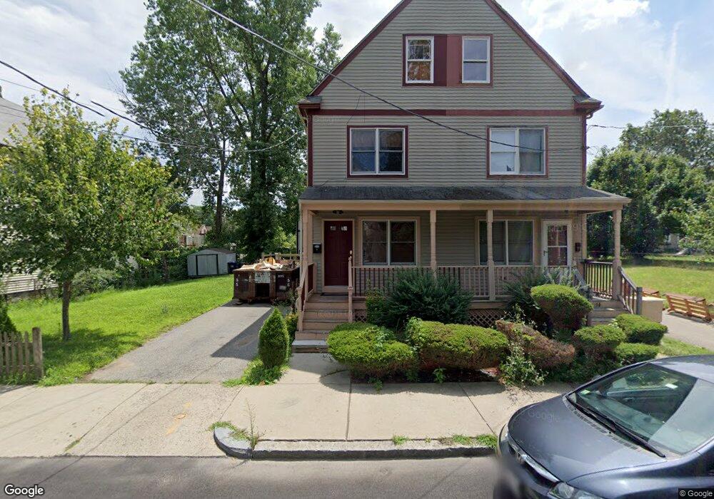
12 Winston Rd Dorchester Center, MA 02124
Franklin Field South NeighborhoodEstimated Value: $559,000 - $617,000
3
Beds
2
Baths
1,549
Sq Ft
$378/Sq Ft
Est. Value
About This Home
This home is located at 12 Winston Rd, Dorchester Center, MA 02124 and is currently estimated at $585,221, approximately $377 per square foot. 12 Winston Rd is a home located in Suffolk County with nearby schools including Codman Academy Charter Public School, KIPP Academy Boston Charter School, and Berea Seventh-day Adventist Academy.
Ownership History
Date
Name
Owned For
Owner Type
Purchase Details
Closed on
Mar 15, 2022
Sold by
Durham Gladys
Bought by
12 Winston Road Rt
Current Estimated Value
Purchase Details
Closed on
Dec 11, 2001
Sold by
Franklin Field S New H
Bought by
Durham Gladys
Home Financials for this Owner
Home Financials are based on the most recent Mortgage that was taken out on this home.
Original Mortgage
$105,000
Interest Rate
6.67%
Mortgage Type
Purchase Money Mortgage
Create a Home Valuation Report for This Property
The Home Valuation Report is an in-depth analysis detailing your home's value as well as a comparison with similar homes in the area
Home Values in the Area
Average Home Value in this Area
Purchase History
| Date | Buyer | Sale Price | Title Company |
|---|---|---|---|
| 12 Winston Road Rt | -- | None Available | |
| Durham Gladys | $140,000 | -- |
Source: Public Records
Mortgage History
| Date | Status | Borrower | Loan Amount |
|---|---|---|---|
| Previous Owner | Durham Gladys | $105,000 | |
| Previous Owner | Durham Gladys | $3,300 | |
| Previous Owner | Durham Gladys | $28,000 |
Source: Public Records
Tax History Compared to Growth
Tax History
| Year | Tax Paid | Tax Assessment Tax Assessment Total Assessment is a certain percentage of the fair market value that is determined by local assessors to be the total taxable value of land and additions on the property. | Land | Improvement |
|---|---|---|---|---|
| 2025 | $4,517 | $390,100 | $128,733 | $261,367 |
| 2024 | $4,049 | $371,500 | $100,305 | $271,195 |
| 2023 | $3,800 | $353,800 | $95,526 | $258,274 |
| 2022 | $3,667 | $337,000 | $90,990 | $246,010 |
| 2021 | $3,425 | $321,000 | $0 | $321,000 |
| 2020 | $3,228 | $305,700 | $0 | $305,700 |
| 2019 | $3,068 | $291,100 | $113,000 | $178,100 |
| 2018 | $2,905 | $277,200 | $113,000 | $164,200 |
| 2017 | $2,796 | $264,000 | $113,000 | $151,000 |
| 2016 | $2,765 | $251,400 | $113,000 | $138,400 |
| 2015 | $2,899 | $239,400 | $88,800 | $150,600 |
| 2014 | $2,868 | $228,000 | $88,800 | $139,200 |
Source: Public Records
Map
Nearby Homes
- 68 Mascot St
- 5 Sutton St
- 5 Sutton St Unit 3B
- 69 Lucerne St
- 67 Wildwood St
- 10 Sutton St
- 14-16 Jacob St
- 140 Callender St
- 21 Ashton St Unit 1
- 1 Lyford St
- 3 Lyford St Unit 1
- 251 Norfolk St Unit A
- 6 Deering Rd
- 19 Deering Rd
- 23 Deering Rd
- 18 Astoria St
- 28 Hansborough St Unit 2
- 28 Hansborough St Unit 5
- 27 Havelock St
- 10 Hosmer St