12 Woodman Way Unit 9 Newburyport, MA 01950
Estimated Value: $262,000 - $381,000
2
Beds
1
Bath
693
Sq Ft
$437/Sq Ft
Est. Value
About This Home
This home is located at 12 Woodman Way Unit 9, Newburyport, MA 01950 and is currently estimated at $303,019, approximately $437 per square foot. 12 Woodman Way Unit 9 is a home located in Essex County with nearby schools including Francis T. Bresnahan Elementary School, Edward G. Molin Elementary School, and Rupert A. Nock Middle School.
Ownership History
Date
Name
Owned For
Owner Type
Purchase Details
Closed on
Jun 2, 2021
Sold by
Fleischer Stephen E Est
Bought by
Fleischer Evan
Current Estimated Value
Purchase Details
Closed on
Sep 21, 2001
Sold by
Dumont Doris M
Bought by
Fleischer Stephen E
Purchase Details
Closed on
Mar 17, 1997
Sold by
Rogers Doris M
Bought by
Simmons Thomas E
Home Financials for this Owner
Home Financials are based on the most recent Mortgage that was taken out on this home.
Original Mortgage
$37,600
Interest Rate
7.79%
Mortgage Type
Purchase Money Mortgage
Purchase Details
Closed on
Oct 10, 1996
Sold by
Devellis Cosmo and Devellis Vincenza
Bought by
Rogers Doris M
Create a Home Valuation Report for This Property
The Home Valuation Report is an in-depth analysis detailing your home's value as well as a comparison with similar homes in the area
Home Values in the Area
Average Home Value in this Area
Purchase History
| Date | Buyer | Sale Price | Title Company |
|---|---|---|---|
| Fleischer Evan | -- | None Available | |
| Fleischer Stephen E | $129,000 | -- | |
| Simmons Thomas E | $34,000 | -- | |
| Rogers Doris M | $34,000 | -- |
Source: Public Records
Mortgage History
| Date | Status | Borrower | Loan Amount |
|---|---|---|---|
| Previous Owner | Rogers Doris M | $37,600 |
Source: Public Records
Tax History Compared to Growth
Tax History
| Year | Tax Paid | Tax Assessment Tax Assessment Total Assessment is a certain percentage of the fair market value that is determined by local assessors to be the total taxable value of land and additions on the property. | Land | Improvement |
|---|---|---|---|---|
| 2025 | $1,827 | $190,700 | $0 | $190,700 |
| 2024 | $1,783 | $178,800 | $0 | $178,800 |
| 2023 | $1,665 | $155,000 | $0 | $155,000 |
| 2022 | $1,668 | $138,900 | $0 | $138,900 |
| 2021 | $1,658 | $131,200 | $0 | $131,200 |
| 2020 | $1,445 | $112,500 | $0 | $112,500 |
| 2019 | $1,257 | $96,100 | $0 | $96,100 |
| 2018 | $1,268 | $95,600 | $0 | $95,600 |
| 2017 | $1,065 | $79,200 | $0 | $79,200 |
| 2016 | $889 | $66,400 | $0 | $66,400 |
| 2015 | $807 | $60,500 | $0 | $60,500 |
Source: Public Records
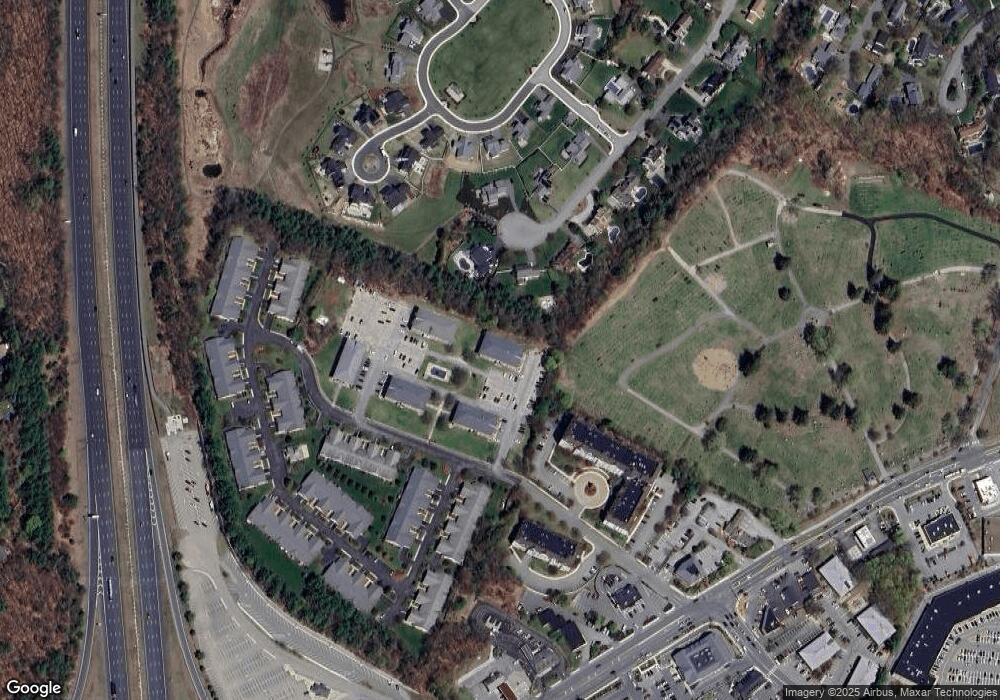
Map
Nearby Homes
- 10 Clipper Way
- 6 Woodman Way Unit 402
- 6 Woodman Way Unit 122
- 61 Clipper Way
- 6 Boyd Dr
- 8 Brown Ave
- 12 Roosevelt Place
- 17 Alberta Ave
- 42 Myrtle Ave
- 20 Cushing Ave
- 30 Dorothy e Lucey Dr
- 510 Merrimac St Unit 512
- 572 Merrimac St
- 492 Merrimac St
- 29 Columbus Ave
- 19 Jefferson St
- 231 Storey Ave
- 7 Frances Dr
- 10 Rawson Hill Rd
- 18 Hawkswood Estates
- 12 Woodman Way Unit 24
- 12 Woodman Way Unit 23
- 12 Woodman Way Unit 22
- 12 Woodman Way Unit 21
- 12 Woodman Way Unit 20
- 12 Woodman Way Unit 18
- 12 Woodman Way Unit 17
- 12 Woodman Way Unit 16
- 12 Woodman Way Unit 15
- 12 Woodman Way Unit 14
- 12 Woodman Way Unit 13
- 12 Woodman Way
- 12 Woodman Way Unit 11
- 12 Woodman Way Unit 10
- 12 Woodman Way Unit 8
- 12 Woodman Way Unit 7
- 12 Woodman Way Unit 6
- 12 Woodman Way Unit 5
- 12 Woodman Way Unit 4
- 12 Woodman Way Unit 3