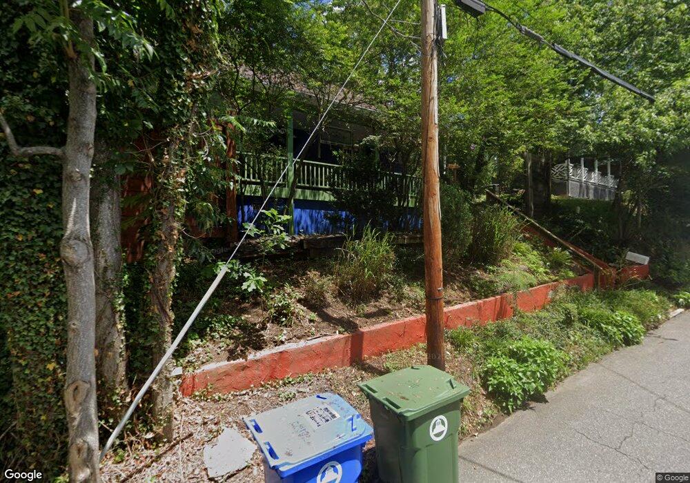
12 Woodrow Ave Asheville, NC 28801
North Asheville NeighborhoodEstimated Value: $377,000 - $504,000
2
Beds
1
Bath
816
Sq Ft
$514/Sq Ft
Est. Value
About This Home
This home is located at 12 Woodrow Ave, Asheville, NC 28801 and is currently estimated at $419,194, approximately $513 per square foot. 12 Woodrow Ave is a home located in Buncombe County with nearby schools including Isaac Dickson Elementary, Ira B Jones Elementary, and Hall Fletcher Elementary.
Ownership History
Date
Name
Owned For
Owner Type
Purchase Details
Closed on
Dec 14, 2016
Sold by
Collett Sebastian G
Bought by
Graham Carol B
Current Estimated Value
Purchase Details
Closed on
Sep 12, 2003
Sold by
Woodrow Acres Llc
Bought by
Collett Sebastian G
Home Financials for this Owner
Home Financials are based on the most recent Mortgage that was taken out on this home.
Original Mortgage
$35,000
Interest Rate
6.13%
Mortgage Type
Unknown
Purchase Details
Closed on
Aug 6, 2002
Sold by
Trull William J and Trull Bogue S
Bought by
Waller Ruth A
Create a Home Valuation Report for This Property
The Home Valuation Report is an in-depth analysis detailing your home's value as well as a comparison with similar homes in the area
Home Values in the Area
Average Home Value in this Area
Purchase History
| Date | Buyer | Sale Price | Title Company |
|---|---|---|---|
| Graham Carol B | $100,000 | None Available | |
| Collett Sebastian G | $117,500 | -- | |
| Waller Ruth A | $52,000 | -- |
Source: Public Records
Mortgage History
| Date | Status | Borrower | Loan Amount |
|---|---|---|---|
| Previous Owner | Collett Sebastian G | $35,000 |
Source: Public Records
Tax History Compared to Growth
Tax History
| Year | Tax Paid | Tax Assessment Tax Assessment Total Assessment is a certain percentage of the fair market value that is determined by local assessors to be the total taxable value of land and additions on the property. | Land | Improvement |
|---|---|---|---|---|
| 2025 | $2,557 | $247,500 | $122,100 | $125,400 |
| 2024 | $2,557 | $247,500 | $122,100 | $125,400 |
| 2023 | $2,557 | $247,500 | $122,100 | $125,400 |
| 2022 | $2,468 | $247,500 | $0 | $0 |
| 2021 | $2,468 | $247,500 | $0 | $0 |
| 2020 | $1,872 | $173,700 | $0 | $0 |
| 2019 | $1,872 | $173,700 | $0 | $0 |
| 2018 | $1,872 | $173,700 | $0 | $0 |
| 2017 | $1,890 | $135,700 | $0 | $0 |
| 2016 | $1,668 | $135,700 | $0 | $0 |
| 2015 | $1,668 | $135,700 | $0 | $0 |
| 2014 | $1,562 | $128,700 | $0 | $0 |
Source: Public Records
Map
Nearby Homes
- 15 Forsythe St
- 26 Mount Clare Ave
- 177 Cumberland Ave
- 19 Northview St
- 54 Holland St
- 233 Broadway St
- 118 Woodrow Ave
- 30 Monroe Place
- 229 Broadway St
- 152 Mount Clare Ave
- 13 North St
- 102 Holland St
- 167 Mount Clare Ave
- 84 Elizabeth St
- 46 Cumberland Cir
- 11 Cullowhee St
- 16 Spears Ave Unit 39
- 16 Spears Ave Unit 3
- 120 Flint St
- 190 Broadway St Unit 310
- 12 West St
- 14 Woodrow Ave
- 7 Woodrow Ave
- 4 Woodrow Ave
- 16 West St
- 13 Woodrow Ave
- 336 Broadway St
- 15 Woodrow Ave
- 19 Ocala St
- 21 Woodrow Ave
- 24 Woodrow Ave
- 22 West St
- 28 Forsythe St
- 28 Woodrow Ave
- 25 Woodrow Ave
- 29 Woodrow Ave Unit 1
- 29 Woodrow Ave
- 29 Woodrow Ave Unit 2 (downstairs)
- 30 Woodrow Ave
- 34 West St