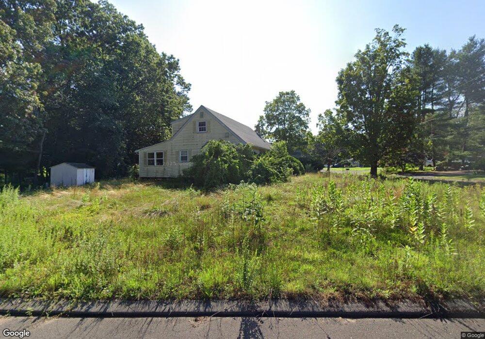
12 Woodside Cir Southwick, MA 01077
Estimated Value: $370,000 - $461,000
4
Beds
2
Baths
1,428
Sq Ft
$284/Sq Ft
Est. Value
About This Home
This home is located at 12 Woodside Cir, Southwick, MA 01077 and is currently estimated at $405,753, approximately $284 per square foot. 12 Woodside Cir is a home located in Hampden County with nearby schools including Woodland School, Powder Mill Middle School, and Southwick Regional School.
Ownership History
Date
Name
Owned For
Owner Type
Purchase Details
Closed on
Mar 5, 2010
Sold by
Leclair Robert C
Bought by
Leclair Thad H
Current Estimated Value
Home Financials for this Owner
Home Financials are based on the most recent Mortgage that was taken out on this home.
Original Mortgage
$160,000
Outstanding Balance
$106,151
Interest Rate
5%
Mortgage Type
Purchase Money Mortgage
Estimated Equity
$299,602
Create a Home Valuation Report for This Property
The Home Valuation Report is an in-depth analysis detailing your home's value as well as a comparison with similar homes in the area
Home Values in the Area
Average Home Value in this Area
Purchase History
| Date | Buyer | Sale Price | Title Company |
|---|---|---|---|
| Leclair Thad H | $200,000 | -- | |
| Leclair Thad H | $200,000 | -- | |
| Leclair Thad H | $200,000 | -- |
Source: Public Records
Mortgage History
| Date | Status | Borrower | Loan Amount |
|---|---|---|---|
| Open | Leclair Thad H | $160,000 | |
| Closed | Leclair Thad H | $160,000 | |
| Previous Owner | Leclair Thad H | $50,000 | |
| Previous Owner | Leclair Thad H | $35,000 |
Source: Public Records
Tax History Compared to Growth
Tax History
| Year | Tax Paid | Tax Assessment Tax Assessment Total Assessment is a certain percentage of the fair market value that is determined by local assessors to be the total taxable value of land and additions on the property. | Land | Improvement |
|---|---|---|---|---|
| 2025 | $4,732 | $303,900 | $86,200 | $217,700 |
| 2024 | $4,477 | $289,400 | $81,100 | $208,300 |
| 2023 | $4,295 | $266,600 | $81,100 | $185,500 |
| 2022 | $4,118 | $242,500 | $73,800 | $168,700 |
| 2021 | $3,711 | $211,000 | $73,800 | $137,200 |
| 2020 | $4,807 | $209,600 | $73,800 | $135,800 |
| 2019 | $3,553 | $203,400 | $72,600 | $130,800 |
| 2018 | $3,542 | $202,400 | $72,600 | $129,800 |
| 2017 | $3,411 | $192,400 | $69,000 | $123,400 |
| 2016 | $3,290 | $192,400 | $69,000 | $123,400 |
| 2015 | $3,291 | $194,300 | $67,700 | $126,600 |
Source: Public Records
Map
Nearby Homes
- 33 S Longyard Rd
- 44 N Lake Ave
- 8 Woodland Ridge
- 80 Bungalow St
- 31 Woodland Ridge
- 74 Point Grove Rd
- 105 Lakeview St
- 139 Point Grove Rd
- 3 Iron Horse Hill Unit 3
- 61 S View Dr
- 175 Berkshire Ave
- 12 Granaudo Cir
- 21 Grove St
- 141 Point Grove Rd
- 33 Birchwood Rd
- 148 Point Grove Rd
- 32 Sheep Pasture Rd
- Lot 32 Sheep Pasture Rd
- 761 College Hwy
- 116 Granville Rd
- 10 Woodside Cir
- 13 Woodside Cir
- 14 Woodside Cir
- 16 Woodside Cir
- 11 Woodside Cir
- 8 Woodside Cir
- 18 Woodside Cir
- 19 S Longyard Rd
- 19 Woodside Cir
- 9 Woodside Cir
- 20 Woodside Cir
- 23 Woodside Cir
- 21 Woodside Cir
- 7 Woodside Cir
- 23 S Longyard Rd
- 25 Woodside Cir
- 22 Woodside Cir
- 7 S Longyard Rd
- 27 Woodside Cir
- 5 Woodside Cir