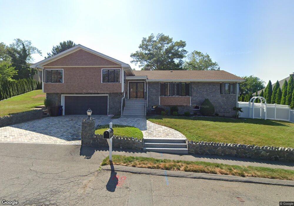
12 Yorkshire Rd Marblehead, MA 01945
Estimated Value: $967,000 - $1,149,000
3
Beds
4
Baths
2,757
Sq Ft
$393/Sq Ft
Est. Value
About This Home
This home is located at 12 Yorkshire Rd, Marblehead, MA 01945 and is currently estimated at $1,083,339, approximately $392 per square foot. 12 Yorkshire Rd is a home located in Essex County with nearby schools including Marblehead High School, Devereux School, and Tower School.
Ownership History
Date
Name
Owned For
Owner Type
Purchase Details
Closed on
Feb 14, 2013
Sold by
Etinger Oskar
Bought by
Etinger Emily C
Current Estimated Value
Home Financials for this Owner
Home Financials are based on the most recent Mortgage that was taken out on this home.
Original Mortgage
$300,000
Outstanding Balance
$206,464
Interest Rate
3.38%
Mortgage Type
New Conventional
Estimated Equity
$876,875
Purchase Details
Closed on
Feb 23, 1993
Sold by
Freedman Alan and Freedman Nancy
Bought by
Etinger Marina and Etinger Oskar
Create a Home Valuation Report for This Property
The Home Valuation Report is an in-depth analysis detailing your home's value as well as a comparison with similar homes in the area
Home Values in the Area
Average Home Value in this Area
Purchase History
| Date | Buyer | Sale Price | Title Company |
|---|---|---|---|
| Etinger Emily C | $375,000 | -- | |
| Etinger Emily C | $375,000 | -- | |
| Etinger Marina | $279,500 | -- | |
| Etinger Marina | $279,500 | -- |
Source: Public Records
Mortgage History
| Date | Status | Borrower | Loan Amount |
|---|---|---|---|
| Open | Etinger Emily C | $300,000 | |
| Closed | Etinger Marina | $300,000 | |
| Previous Owner | Etinger Marina | $50,000 |
Source: Public Records
Tax History
| Year | Tax Paid | Tax Assessment Tax Assessment Total Assessment is a certain percentage of the fair market value that is determined by local assessors to be the total taxable value of land and additions on the property. | Land | Improvement |
|---|---|---|---|---|
| 2025 | $8,493 | $938,500 | $564,600 | $373,900 |
| 2024 | $8,358 | $932,800 | $592,800 | $340,000 |
| 2023 | $9,702 | $970,200 | $663,400 | $306,800 |
| 2022 | $8,310 | $789,900 | $522,200 | $267,700 |
| 2021 | $7,882 | $756,400 | $494,000 | $262,400 |
| 2020 | $7,542 | $725,900 | $494,000 | $231,900 |
| 2019 | $7,189 | $669,400 | $437,500 | $231,900 |
| 2018 | $7,066 | $641,200 | $409,300 | $231,900 |
| 2017 | $6,749 | $613,000 | $381,100 | $231,900 |
| 2016 | $6,491 | $584,800 | $352,900 | $231,900 |
| 2015 | $6,531 | $589,400 | $352,900 | $236,500 |
| 2014 | $6,077 | $548,000 | $338,700 | $209,300 |
Source: Public Records
Map
Nearby Homes
- 11 Angenica Terrace
- 25 Tedesco St
- 212 Humphrey St Unit 205
- 12 Pickwick Rd
- 34 Moffatt Rd
- 4 Dean Rd
- 6 Loring Hills Ave Unit D3
- 48 Bellevue Rd
- 37 Stanley Rd
- 28 Surrey Rd
- 1002 Paradise Rd Unit PHE
- 23 Marion Rd Unit B
- 106 Broadway Unit 3
- 49 Weatherly Dr
- 30 Weatherly Dr
- 11 Weatherly Dr
- 24 Wisteria St Unit 2
- 326 Lafayette St Unit 2
- 272 Atlantic Ave
- 282 Pleasant St
- 3 Riverside Dr
- 10 Yorkshire Rd
- 63 Leggs Hill Rd
- 61 Leggs Hill Rd
- 8 Victoria Ln
- 9 Yorkshire Rd
- 11 Yorkshire Rd
- 5 Riverside Dr
- 8 Yorkshire Rd
- 6 Victoria Ln
- 19 Fieldbrook Rd
- 4 Riverside Dr
- 60 Leggs Hill Rd
- 2 Riverside Dr
- 60 Leggs Hill Rd
- 58 Leggs Hill Rd Unit 1
- 62 Leggs Hill Rd
- 7 Yorkshire Rd
- 6 Riverside Dr
- 7 Riverside Dr
Your Personal Tour Guide
Ask me questions while you tour the home.