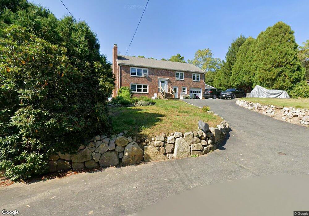
12 Youngs Rd Gloucester, MA 01930
Estimated Value: $757,141 - $910,000
3
Beds
3
Baths
1,607
Sq Ft
$521/Sq Ft
Est. Value
About This Home
This home is located at 12 Youngs Rd, Gloucester, MA 01930 and is currently estimated at $836,535, approximately $520 per square foot. 12 Youngs Rd is a home located in Essex County with nearby schools including Plum Cove School, Ralph B O'maley Middle School, and Gloucester High School.
Ownership History
Date
Name
Owned For
Owner Type
Purchase Details
Closed on
Dec 4, 2012
Sold by
Wilson Barbara K
Bought by
Wilson Irt
Current Estimated Value
Purchase Details
Closed on
Feb 16, 2012
Sold by
Barbara K Wilson T
Bought by
Wilson Barbara K
Purchase Details
Closed on
Aug 17, 2010
Sold by
Wilson Barbara K
Bought by
Barbara K Wilson T
Purchase Details
Closed on
Jun 1, 1973
Bought by
Wilson David S
Create a Home Valuation Report for This Property
The Home Valuation Report is an in-depth analysis detailing your home's value as well as a comparison with similar homes in the area
Purchase History
| Date | Buyer | Sale Price | Title Company |
|---|---|---|---|
| Wilson Irt | -- | -- | |
| Wilson Barbara K | -- | -- | |
| Barbara K Wilson T | -- | -- | |
| Wilson David S | -- | -- |
Source: Public Records
Tax History
| Year | Tax Paid | Tax Assessment Tax Assessment Total Assessment is a certain percentage of the fair market value that is determined by local assessors to be the total taxable value of land and additions on the property. | Land | Improvement |
|---|---|---|---|---|
| 2025 | $6,637 | $682,800 | $187,600 | $495,200 |
| 2024 | $6,403 | $658,100 | $178,600 | $479,500 |
| 2023 | $6,580 | $621,300 | $159,500 | $461,800 |
| 2022 | $6,306 | $537,600 | $138,700 | $398,900 |
| 2021 | $6,188 | $497,400 | $126,100 | $371,300 |
| 2020 | $6,018 | $488,100 | $126,100 | $362,000 |
| 2019 | $5,997 | $472,600 | $126,100 | $346,500 |
| 2018 | $5,936 | $459,100 | $126,100 | $333,000 |
| 2017 | $5,756 | $436,400 | $120,100 | $316,300 |
| 2016 | $5,373 | $394,800 | $125,300 | $269,500 |
| 2015 | $5,045 | $369,600 | $125,300 | $244,300 |
Source: Public Records
Map
Nearby Homes
- 672 Washington St
- 136 Leonard St
- 2 Breezy Point Rd
- 4 Ciaramitaro Ct
- 226 Atlantic St
- 3 Deacon Farm Ln
- 178 Atlantic St
- 167 Atlantic St
- 13 Honeysuckle Rd
- 31 Echo Ave
- 9 Hickory St
- 1030 Washington St
- 43 High St Unit B
- 10 Emerald St
- 13 Mystic Ave
- 8 Mystic Ave
- 3 Rockland St
- 98 Maplewood Ave
- 6 Monroe Ct
- 12 Arthur St
Your Personal Tour Guide
Ask me questions while you tour the home.