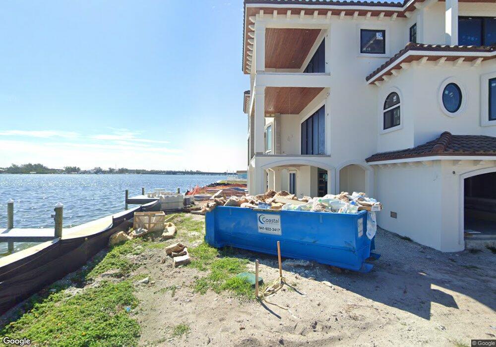
120 9th St N Unit 1 Bradenton Beach, FL 34217
Estimated Value: $1,606,369
--
Bed
4
Baths
3,590
Sq Ft
$447/Sq Ft
Est. Value
About This Home
This home is located at 120 9th St N Unit 1, Bradenton Beach, FL 34217 and is currently estimated at $1,606,369, approximately $447 per square foot. 120 9th St N Unit 1 is a home located in Manatee County with nearby schools including Anna Maria Elementary School, Martha B. King Middle School, and Bayshore High School.
Ownership History
Date
Name
Owned For
Owner Type
Purchase Details
Closed on
Dec 9, 2016
Sold by
Porter Robert V and Porter Denise P
Bought by
Itaro Group Llc
Current Estimated Value
Purchase Details
Closed on
Mar 29, 2002
Sold by
Nichols Vera M
Bought by
Porter Robert V and Porter Denise P
Home Financials for this Owner
Home Financials are based on the most recent Mortgage that was taken out on this home.
Original Mortgage
$250,000
Interest Rate
6.85%
Mortgage Type
Commercial
Create a Home Valuation Report for This Property
The Home Valuation Report is an in-depth analysis detailing your home's value as well as a comparison with similar homes in the area
Home Values in the Area
Average Home Value in this Area
Purchase History
| Date | Buyer | Sale Price | Title Company |
|---|---|---|---|
| Itaro Group Llc | $850,000 | Barnes Walker Title Inc | |
| Porter Robert V | $450,000 | -- |
Source: Public Records
Mortgage History
| Date | Status | Borrower | Loan Amount |
|---|---|---|---|
| Previous Owner | Porter Robert V | $250,000 |
Source: Public Records
Tax History Compared to Growth
Tax History
| Year | Tax Paid | Tax Assessment Tax Assessment Total Assessment is a certain percentage of the fair market value that is determined by local assessors to be the total taxable value of land and additions on the property. | Land | Improvement |
|---|---|---|---|---|
| 2025 | $15,337 | $4,368,264 | -- | -- |
| 2024 | $15,337 | $1,070,286 | $1,052,725 | $17,561 |
| 2023 | $15,539 | $1,070,609 | $1,052,725 | $17,884 |
| 2022 | $13,426 | $836,890 | $821,320 | $15,570 |
| 2021 | $14,818 | $926,765 | $717,400 | $209,365 |
| 2020 | $14,493 | $884,166 | $681,390 | $202,776 |
| 2019 | $12,796 | $720,000 | $681,390 | $38,610 |
| 2018 | $12,939 | $720,000 | $681,390 | $38,610 |
| 2017 | $12,182 | $720,000 | $0 | $0 |
| 2016 | $11,575 | $772,781 | $0 | $0 |
| 2015 | $9,492 | $648,155 | $0 | $0 |
| 2014 | $9,492 | $576,571 | $0 | $0 |
| 2013 | $8,300 | $460,836 | $390,500 | $70,336 |
Source: Public Records
Map
Nearby Homes
- 117 7th St N Unit 5
- 117 7th St N Unit 35
- 601 Gulf Dr N Unit 109
- 111 6th St N
- 611 Gulf Dr N Unit B24
- 611 Gulf Dr N Unit A13
- 611 Gulf Dr N Unit D27
- 1007 Gulf Dr N Unit 106
- 1007 Gulf Dr N Unit 213
- 1007 Gulf Dr N Unit 208
- 203 Bay Dr N
- 1603 Gulf Dr N Unit 5
- 301 17th St N Unit 15
- 221 17th St N Unit 1
- 1801 Gulf Dr N Unit 238
- 1801 Gulf Dr N Unit 166
- 1801 Gulf Dr N Unit 248
- 1801 Gulf Dr N Unit 207
- 1801 Gulf Dr N Unit 176
- 111 4th St S
- 117 7th St N Unit 40
- 117 7th St N Unit 39
- 117 7th St N Unit 38
- 117 7th St N Unit 37
- 117 7th St N Unit 36
- 117 7th St N Unit 34
- 117 7th St N Unit 33
- 117 7th St N Unit 32
- 117 7th St N Unit 31
- 117 7th St N Unit 30
- 117 7th St N Unit 29
- 117 7th St N Unit 28
- 117 7th St N Unit 27
- 117 7th St N Unit 26
- 117 7th St N Unit 25
- 117 7th St N Unit 24
- 117 7th St N Unit 22
- 117 7th St N Unit 21
- 117 7th St N Unit 20
- 117 7th St N Unit 19