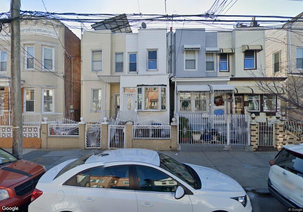
120 Ashford St Brooklyn, NY 11207
Cypress Hills NeighborhoodEstimated Value: $595,000 - $762,000
--
Bed
--
Bath
1,248
Sq Ft
$531/Sq Ft
Est. Value
About This Home
This home is located at 120 Ashford St, Brooklyn, NY 11207 and is currently estimated at $663,188, approximately $531 per square foot. 120 Ashford St is a home located in Kings County with nearby schools including P.S. 108 - Sal Abbracciamento, Liberty Avenue Middle School, and Vista Academy.
Ownership History
Date
Name
Owned For
Owner Type
Purchase Details
Closed on
Nov 30, 2000
Sold by
Roberson Lillie
Bought by
Thomas Howard and Thomas Lillie
Current Estimated Value
Home Financials for this Owner
Home Financials are based on the most recent Mortgage that was taken out on this home.
Original Mortgage
$108,000
Interest Rate
7.52%
Create a Home Valuation Report for This Property
The Home Valuation Report is an in-depth analysis detailing your home's value as well as a comparison with similar homes in the area
Home Values in the Area
Average Home Value in this Area
Purchase History
| Date | Buyer | Sale Price | Title Company |
|---|---|---|---|
| Thomas Howard | -- | Nations Title Insurance | |
| Thomas Howard | -- | Nations Title Insurance |
Source: Public Records
Mortgage History
| Date | Status | Borrower | Loan Amount |
|---|---|---|---|
| Closed | Thomas Howard | $108,000 |
Source: Public Records
Tax History Compared to Growth
Tax History
| Year | Tax Paid | Tax Assessment Tax Assessment Total Assessment is a certain percentage of the fair market value that is determined by local assessors to be the total taxable value of land and additions on the property. | Land | Improvement |
|---|---|---|---|---|
| 2025 | $3,000 | $39,600 | $10,620 | $28,980 |
| 2024 | $3,000 | $37,620 | $10,620 | $27,000 |
| 2023 | $2,866 | $37,200 | $10,620 | $26,580 |
| 2022 | $2,660 | $40,740 | $10,620 | $30,120 |
| 2021 | $2,646 | $31,440 | $10,620 | $20,820 |
| 2020 | $1,984 | $27,240 | $10,620 | $16,620 |
| 2019 | $2,604 | $23,220 | $10,620 | $12,600 |
| 2018 | $2,397 | $11,761 | $4,968 | $6,793 |
| 2017 | $2,264 | $11,104 | $5,664 | $5,440 |
| 2016 | $2,094 | $10,477 | $4,972 | $5,505 |
| 2015 | $1,044 | $10,473 | $6,832 | $3,641 |
| 2014 | $1,044 | $10,372 | $8,108 | $2,264 |
Source: Public Records
Map
Nearby Homes
- 122 Ashford St
- 118 Ashford St
- 124 Ashford St
- 116 Ashford St
- 126 Ashford St
- 112 Ashford St
- 130 Ashford St
- 110 Ashford St
- 181 Warwick St
- 173 Warwick St
- 106 Ashford St
- 183 Warwick St
- 169 Warwick St
- 185 Warwick St
- 2931 Fulton St
- 167 Warwick St
- 167 Warwick St Unit 2
- 94 Ashford St Unit BSMT
- 94 Ashford St
- 94 Ashford St Unit 1FL