Estimated Value: $270,000 - $587,000
3
Beds
2
Baths
2,618
Sq Ft
$158/Sq Ft
Est. Value
About This Home
This home is located at 120 Aunt Sadie Rd, Vidor, TX 77662 and is currently estimated at $414,815, approximately $158 per square foot. 120 Aunt Sadie Rd is a home located in Orange County.
Ownership History
Date
Name
Owned For
Owner Type
Purchase Details
Closed on
Jul 15, 2020
Sold by
Hegele Richard and Hegele Theresa Lynn
Bought by
Hollyfield Brent
Current Estimated Value
Home Financials for this Owner
Home Financials are based on the most recent Mortgage that was taken out on this home.
Original Mortgage
$356,250
Outstanding Balance
$315,194
Interest Rate
3.1%
Mortgage Type
New Conventional
Estimated Equity
$99,621
Purchase Details
Closed on
Apr 24, 2017
Sold by
Hegele Richard
Bought by
Hegele Richard and Hegele Theresa Lynn
Purchase Details
Closed on
May 12, 1994
Sold by
Unknown Seller
Bought by
Hegele Richard and Theresa Lynn,
Create a Home Valuation Report for This Property
The Home Valuation Report is an in-depth analysis detailing your home's value as well as a comparison with similar homes in the area
Home Values in the Area
Average Home Value in this Area
Purchase History
| Date | Buyer | Sale Price | Title Company |
|---|---|---|---|
| Hollyfield Brent | -- | Capital Title | |
| Hegele Richard | -- | None Available | |
| Hegele Richard | -- | -- |
Source: Public Records
Mortgage History
| Date | Status | Borrower | Loan Amount |
|---|---|---|---|
| Open | Hollyfield Brent | $356,250 |
Source: Public Records
Tax History Compared to Growth
Tax History
| Year | Tax Paid | Tax Assessment Tax Assessment Total Assessment is a certain percentage of the fair market value that is determined by local assessors to be the total taxable value of land and additions on the property. | Land | Improvement |
|---|---|---|---|---|
| 2025 | $6,581 | $425,285 | $55,752 | $369,533 |
| 2024 | $4,642 | $433,971 | $55,752 | $378,219 |
| 2023 | $5,952 | $408,895 | $55,752 | $353,143 |
| 2022 | $4,782 | $346,428 | $37,168 | $309,260 |
| 2021 | $5,954 | $320,148 | $37,168 | $282,980 |
| 2020 | $5,228 | $272,798 | $37,168 | $235,630 |
| 2019 | $5,157 | $266,798 | $37,168 | $229,630 |
| 2018 | $4,883 | $255,698 | $37,168 | $218,530 |
| 2017 | $196 | $255,698 | $37,168 | $218,530 |
| 2016 | $4,385 | $229,635 | $27,765 | $201,870 |
| 2015 | $3,318 | $219,226 | $27,765 | $191,461 |
| 2014 | $3,318 | $211,066 | $27,765 | $183,301 |
Source: Public Records
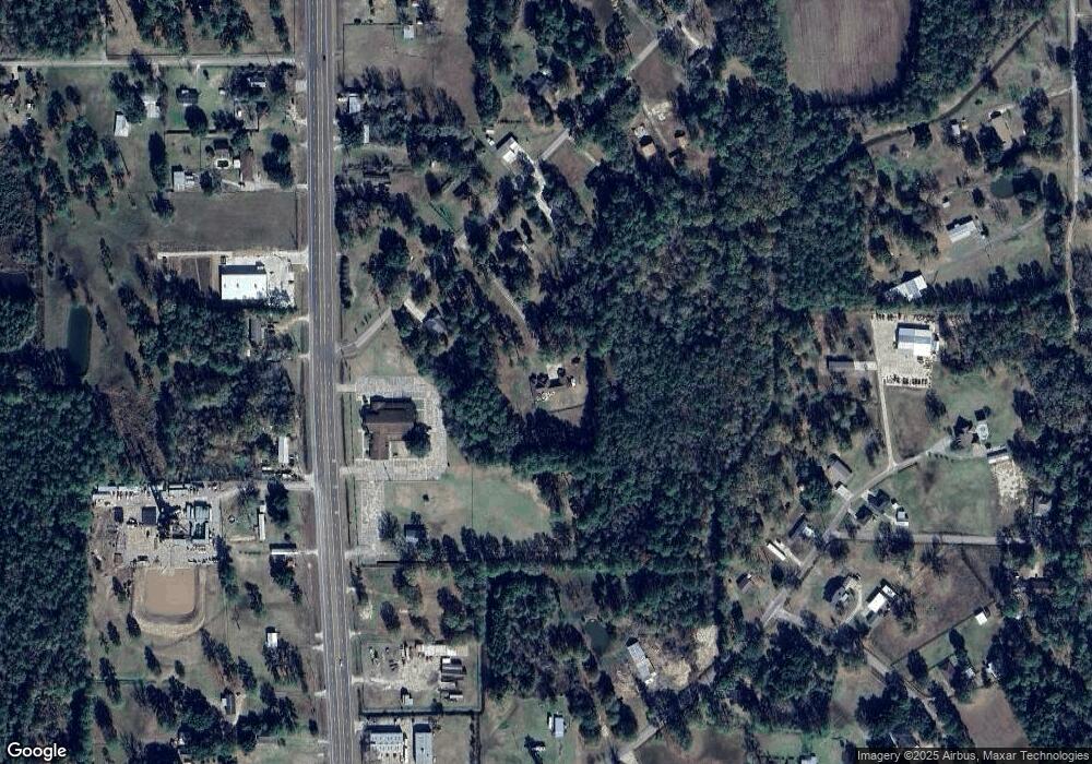
Map
Nearby Homes
- 397 Stephenson Rd
- 145 Bellard Rd
- TBD Settlement Way
- 5855 Tyler St
- 422 Texla Rd
- 5820 Jefferson St
- 6115 Pipeline Rd
- Lot 14 Ironwood Dr
- 1 Fm 2802
- 570 E Sunset Dr
- 2 Fm 2802
- 5960 Corrigan Rd Unit 5962 Corrigan Rd
- PID# 36299 County Road 828
- PID# 36160 County Road 828
- N/A Oldbury Rd
- 0 Oldbury Rd
- 197 Decker Rd
- 5200 Farm To Market 105
- 280 Pug Rd Unit 295 Pug
- 395 Willette Rd Unit 400 Willette
- 6001 N Highway 105
- 130 Aunt Sadie Rd
- 110 Aunt Sadie Rd
- 134 Aunt Sadie Rd
- 131 Aunt Sadie Rd
- 140 Aunt Sadie Rd
- 6210 N Highway 105
- 6180 N Highway 105
- 133 Aunt Sadie Rd
- 337 Stephenson Rd
- 6240 N Highway 105
- 156 Aunt Sadie Rd
- 156 Aunt Sadie Rd
- 150 Aunt Sadie Rd
- 225 Stephenson Rd
- 145 Aunt Sadie Rd
- 155 Stephenson Rd
- 6250 N Highway 105
- 320 Stephenson Rd
- 145 Stephenson Rd